Experience the geologically special Karhusaari
As is typical for the area, the Karhusaari rocks consist mainly of mica gneiss with granite sections. Special features of glacial plucking and the washing of waves over open rock can also be seen. In rocks at the island’s north tip which contain mica gneiss inclusions, some of the mica gneisses have weathered more than the rest of the rock. The weathered parts have contained layers and concretions of limestone, coal and sulphur, and now form interesting shapes on the surface of the rock.
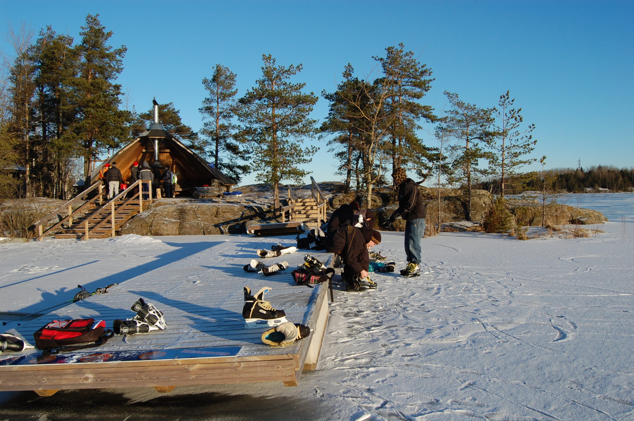
Karhusaari is the site of the South Karelian Foundation for Recreational Areas. On the island you will find eg. lean-to shelter and Saimaa Geopark sign.
Karhusaari had a popular dance pavilion in the 40s and 50s that burned down in the late 1970s. Read the story Karhusaari made in the Rural Explorer project, which conveys the atmosphere of the old dance place (Story: Pekka Vartiainen, Translation: Annira Silver)
Image: Hanna Ollikainen
Coordinates
Geographic coordinates
61.077811371, 28.184623685
GPS-devices
x=563912,152 y=6772032,719
