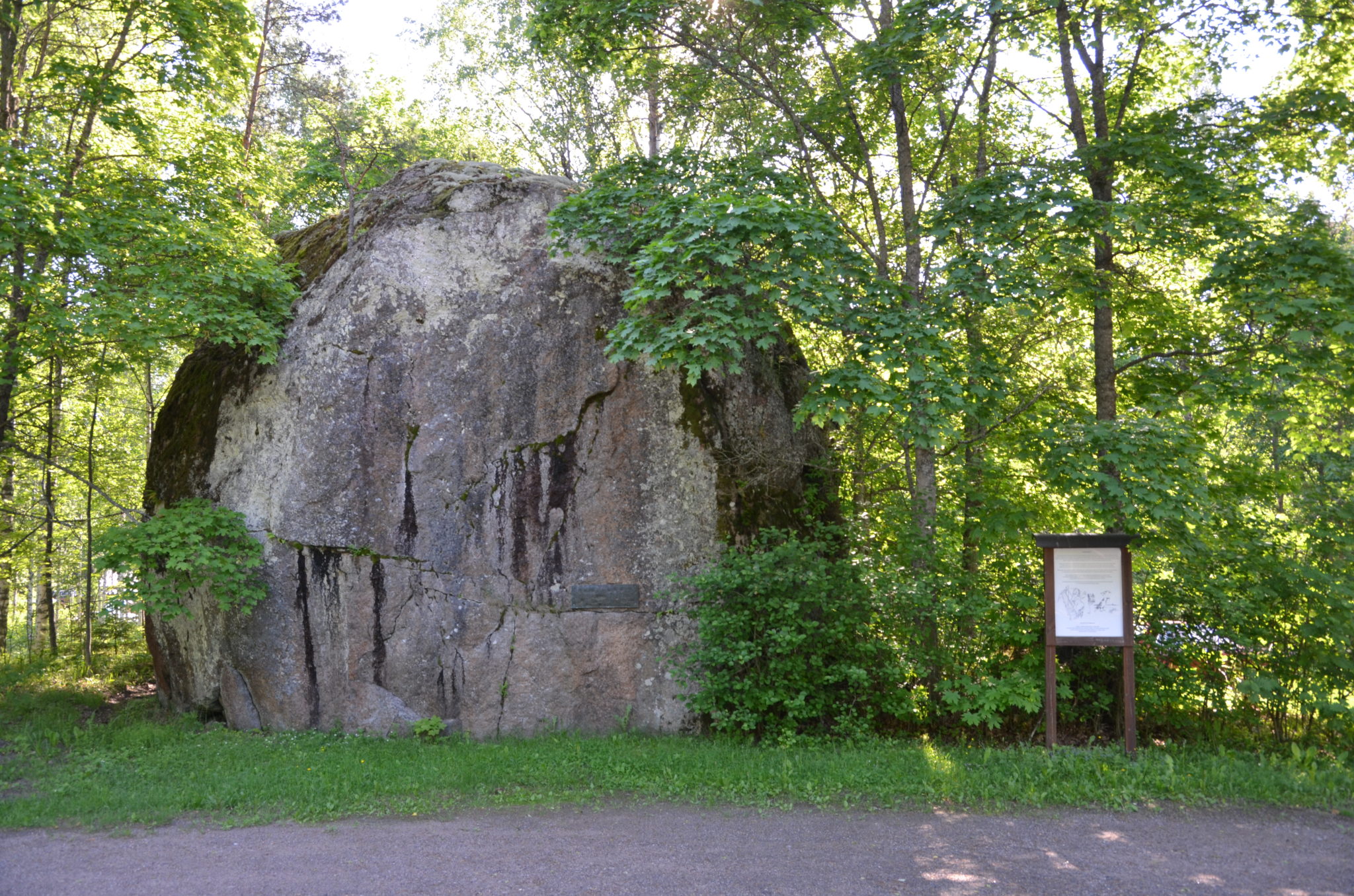
See one of Finland's largest boulders
The erratic boulder was transported by the ice sheet a maximum of four kilometres from the northwest, and now rests on a delta plain. The boulder has previously been used as a lookout point, but nowadays it is a landmark in the central square of Nuijamaa village. Several stories have been put forward concerning the origin of the name Sormuskivi (“Ring stone”) – perhaps the stone was named after its ring-like plagioclase halos, or, as one story goes, it was named after a hand, still wearing a ring, that was found on top of the stone during the famine.
The story behind the name of geosite Sormuskivi erratic boulder is animated by the Rural Explorer project (story: Pekka Vartiainen). Watch the Sormuskivi animation from the Rural Explorer YouTube channel.
The Sormuskivi erratic boulder is an attraction along two cycling routes, which can be found on the South Karelian Foundation for Recreation Areas’ hiking site.
Image: Kaisa-Maria Remes
Coordinates
Geographic coordinates
60.960030629, 28.540090009
GPS-devices
x=583396,390 y=6759315,403
Address
Tassiantie 1-3
54230 Nuijamaa