Experience the geological time travel of Lammassaari
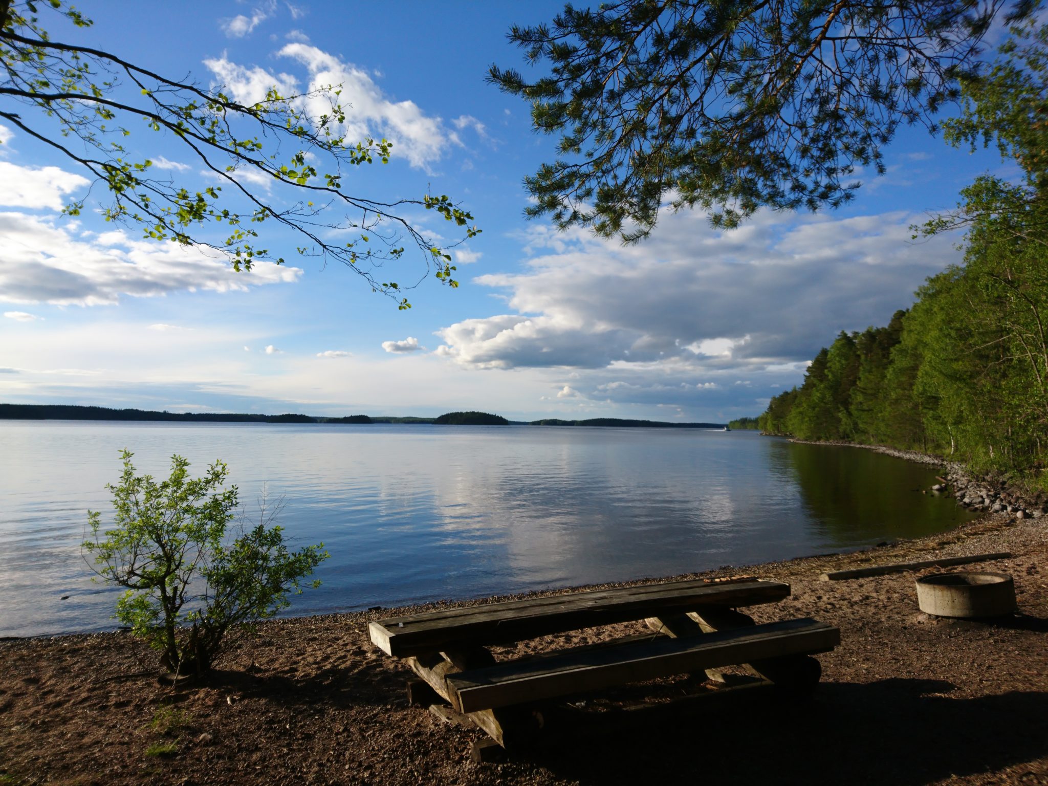
Only a small piece of island to the south remains at the original height of the delta (approx. 101-102msl) – elsewhere waves at different stages of Saimaa’s development have washed away deposits and formed clearly distinct ancient shorelines. Two Stone-Age settlements have been found on the shores of the Greater Saimaa stage (approx. 80msl). Several kettles serve as remnants from the ice age, with the biggest being a rather large, steep-edged kettle pond. There are beautiful and representative gneiss boulders, along a path to the north of the island, and a sheltered rocky area at the northernmost point. Lammassaari has several Saimaa Geopark signposts and a comprehensive network of trails.
Three panels in the sign with a canopy open up different contents on your mobile device (a series of panels beginning with the title “Discover the hidden treasures of Lake Saimaa”). You need the free Salmi AR app to view the content. Content includes pictures, videos, audio narration, and peepholes. You’ll find information about Suvorov’s time, wartime, and industrialization, and get to see what the area looked like 11,000 years ago and how the ancestors lived. The contents are currently available only in Finnish. Instructions for downloading the Salmi AR application (pdf)
You can find route description of the paths in Lammassaari and instructions for arrival from the contents of the Outdoor Active platform: Route description of the geological trail of Imatra Lammassaari island
Image: Riina Kaikkonen
Coordinates
Geographic coordinates
61.208779721, 28.709660480
GPS-devices
x=591853,586 y=6787243,684
Address
Lammassaarentie
55420 Imatra
