WHAT IS GEOPARK?
A Geopark is a coherent geographical area containing geological sites of international importance. The Geopark tells the story of how the landscape was created and highlights the sites and local products and services of the area. Preserving the natural and cultural heritage of the area, strengthening local identity and promoting sustainable economic activities are key objectives of geoparks. Geoparks are geological sites of interest and often also of archaeological, ecological, historical and/or cultural importance. Ancient rock paintings, historic mining sites and diverse ecosystems can be seen in the area, reflecting the long and rich history of the area.
The rising trend in tourism
Geology is an emerging trend in nature tourism. Geoparks are internationally very popular tourism activities that aim at sustainable economic development of regions through nature tourism. In terms of tourism attractiveness, UNESCO Global Geoparks are comparable to national parks and UNESCO World Heritage sites. UNESCO Global Geopark status does not bring any new protection regulations to the area. The geological content also opens up new business opportunities for companies in the region. UNESCO Global Geopark status tells tourists about the quality of local products around the world.
The Geopark also promotes sustainable nature tourism and related economic activities. The Geopark collects and produces information about the area and highlights local products and services. It is also important to preserve natural and cultural heritage, strengthen local identity and promote sustainable development. The Geopark organises guided tours, workshops and events to raise awareness of the unique geological features and cultural heritage of the area.
Saimaa geopark vision
The aim of Saimaa Geopark ry is to develop nature tourism in South Karelia and South Savo.The 65 geoparks in the southern Saimaa region form an interesting and attractive tourist environment, which enables a new kind of versatile marketing for different tourism and leisure target groups.
Saimaa geopark mission
- Preserving the unique geology, nature and culture of the Saimaa Geopark area.
- To promote the area locally, nationally and internationally.
- Promoting sustainable development.
- Increasing the Saimaa Geopark brand.
- Strengthening the knowledge, appreciation, identity and vitality of the region's inhabitants.
geopark network
Geopark is an international cooperation
Each UNESCO Global Geopark is part of an international network of Geoparks. Through the network, the geological heritage and local services of the geopark area gain international visibility. New development ideas are disseminated through the network and international activities, such as joint projects, are possible.
The Geopark will support tourism, business, internationalisation, education and research in the area by highlighting geological and cultural features and ensuring sustainable practices to preserve the environment.
Applying for UNESCO Global Geopark status
UNESCO Global Geopark status is applied for from UNESCO, which decides each year whether to designate a new area as a geopark. Saimaa Geopark was granted the status in spring 2021. UNESCO, the United Nations Educational, Scientific and Cultural Organisation, grants the status to areas of international importance. The status is a recognition that the sites meet international criteria. The status is granted for four years at a time and if a Geopark has not followed a development plan, it can lose the status. This is an attempt to maintain a high level of quality.
Geopark means appreciating locality
One of the goals of a geopark is to support local residents to get to know and appreciate their local area by revealing the geological heritage of the area and by making it a part of life for the local community. Schools and other educational establishments and communities can use the contents of a geopark in various ways for education. The goal is to increase the appreciation of the geopark area both locally and internationally.
global geopark network (ggn)
The Global Geoparks Network (GGN) is a global cooperation organisation established in 2004. More than 300 Geoparks professionals are actively involved in the network. GGN works for the development of UNESCO Geoparks and supports in particular the establishment of Geoparks in developing countries in Africa and Latin America. UNESCO Global Geoparks include 213 sites in 48 countries. In Finland, Saimaa Geopark, Rokua Geopark, Lauhanvuori-Hämeenkangas Geopark, Salpausselkä Geopark and Kraatterijärvi Geopark have been awarded UGGp status.
Geopark networks
There are several official networks of Geoparks around the world that promote the conservation, education and sustainable development of geological sites:
- European Geopark Network (EGN)
- Asia Pacific Geoparks Network (APGN)
- Latin American and Caribbean Geopark Network (LACGN)
- African UNESCO Global Geoparks Network (AUGGN)
European Geoparks Network (EGN)
Geoparks started in Europe as a joint project between four regions. The European Geopark Network (EGN) was established in 2000. The main objective of the network is to help its members create sustainable regional development through geotourism based on the geological heritage of the regions. European Geoparks are also part of the global Global Geoparks cooperation network. This network also operates under the auspices of UNESCO. The European UNESCO Global Geoparks nominate two representatives to the EGN Coordination Committee as official representatives. The Committee meets twice a year to decide on issues and network with other geoparks. The EGN (European Geoparks Network) organises a Geoparks Conference every two years, alternating with the UNESCO Global Geoparks Network.
![]()
Geoparks Finland Network
Finland has a total of 5 Geoparks: Saimaa, Rokua, Lauhanvuori-Hämeenkangas, Salpausselkä and Lake Kraatterijärvi. The Finnish Geoparks form the Geoparks Finland network, which together develops the visibility of the Geoparks, geotourism and national cooperation. This network also aims to promote local culture and biodiversity conservation by highlighting the unique geological features and tourist attractions of the regions.
![]()
Finnish Geopark Committee
The Finnish National Geopark Committee was established in March 2013 in line with UNESCO recommendations. It provides guidance and support to Finnish regions applying for Geopark status, acts as an expert to the Finnish UNESCO Committee in the application process and promotes communication between Finnish Geoparks, their stakeholders and international networks. In addition, the Commission annually elects a representative to the Advisory Committee of the International Geoparks Network. The committee is composed of representatives of the Finnish UNESCO Global Geoparks, the Ministry of the Environment, the Geological Survey of Finland, Metsähallitus, Business Finland and the Finnish Academy of Sciences. A representative of the Finnish Commission for UNESCO may also attend the meetings as an observer. For further information on the work of the Committee, please contact the Executive Directors of the Finnish UNESCO Global Geoparks or the Finnish UNESCO Committee.
 The members of the Finnish Geopark Commission in 2024 are:
- Ilona Latsa, Ministry of the Environment
- Jari Nenonen, Geological Survey of Finland
- Tom Selänniemi, Visit Finland
- Matti Tapaninen, Metsähallitus Nature Services
- Mikko Kiuttu, Rokua UNESCO Global Geopark
- Terttu Hermansson, Lauhanvuori-Hämeenkangas UNESCO Global Geopark (Chair)
- Mikko Ikävalko, Saimaa UNESCO Global Geopark
- Kati Komulainen, Salpausselkä UNESCO Global Geopark
- Maria Ahvenniemi, Kraatterijärvi UNESCO Global Geopark
other geoparks in finland
ROKUA UNESCO GLOBAL GEOPARK
Finland's first UNESCO Global Geopark, Rokua, received Geopark status in 2010. The Geopark's theme is traces of the Ice Age. Rokua Geopark consists of three landscape areas: Oulujokilaakso, Oulujärvi and Rokua ridge and dune area. Rokua Geopark offers unique nature experiences and versatile services all year round! The Rokua Geopark, made up of the landscape areas of Oulujokilaakso, Rokua and Oulujärvi.
The legacy of the ice age and the development history of the area can be seen in the nature of Rokua Geopark, for example, in high dunes, deep kettles, extensive swamp areas, wonderful sandy beaches and dense forests covered with white lichen.
SALPAUSSELKÄ UNESCO GLOBAL GEOPARK
Salpauselkä Geopark received UNESCO Global Geopark status on April 13, 2022. Salpauselkä Geopark covers the territory of six municipalities, which are: Lahti, Hollola, Heinola, Asikkala, Sysmä and Padasjoki.
Salpauselkä Geopark's theme is the Salpauselkä formation, which was created at the end of the ice age, which is the world's most famous edge formation of the ice age. The massive formation was created during the cold Dryas phase of the end of the last ice age, when the retreat of the continental glacier stopped and a huge amount of soil was piled up in front of it.
LAUHANVUORI-HÄMEENKANGAS UNESCO GLOBAL GEOPARK
Lauhanvuori – Hämeenkangas UNESCO Global Geopark is located in the southern part of Suomenselkä, on the borders of three provinces. The Geopark area connects Kauhajoki, Isojoki and Karijoki from southern Pohja, Kankaanpää, Karvia, Jämijärvi and Siikainen from Satakunta and Parkano and Kihniö from Pirkanmaa into a unified nature tourism area.
The story of Lauhanvuori – Hämeenkangas UNESCO Global Geopark tells how the folded mountain range in the area almost two billion years ago has worn away over time and the landscape has changed into the current, flat plain. Memories of the rise and destruction of the ancient mountain are written on the stones, rocks and soil of the area. In the area, you can find large natural marsh areas that are rare in the conditions of southern Finland. Different swamps and the related cultural history are an important part of the Geopark's story.
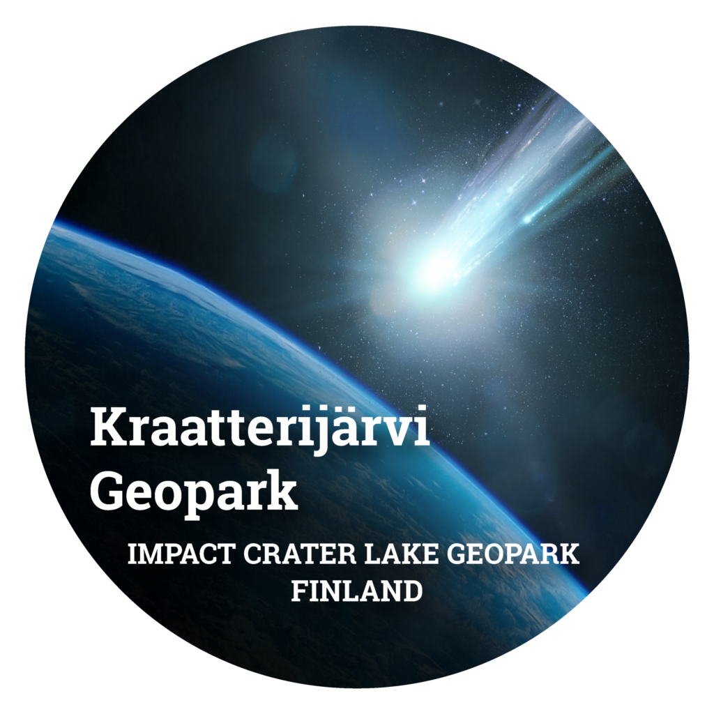
KRAATTERIJÄRVI UNESCO GLOBAL GEOPARK
Crater Lake Lappajärvi was born 78 million years ago when an asteroid orbiting the Sun for about 4.5 billion years collided with another similar asteroid between Mars and Jupiter. As a result of the collision, a meteorite with a diameter of more than one kilometer hit Earth at a cosmic velocity (approximately 10-40 km/s) near what is now Lappajärvi. The collision caused enormous destruction, destroying everything alive within a few hundred kilometers and creating a crater whose elevation was 750 meters and a diameter of 22 kilometers.
Tectonic plates have moved millions of years and ice ages have flattened the crater. To this day the crater is surrounded by elevated edge that can still be seen from Lakeaharju (in Vimpeli) and Pyhävuori (in Alajärvi) offering spectacular views of the Crater Lake. Additionally, you can see the largest island of Lappajärvi called Kärnäsaari, which is the original uplift caused by the collision.
The meteorite that gave birth to the crater was destroyed in the explosion. As a result of the crush, several new rock types were formed, of which the most important are kärnäite and suevite. Kärnäite, as very hard rock, has been protecting Kärnäsaari island from further erosion. Kärnäite contains a lot of rock fragments and minerals in a completely melted groundmass. Based mainly on the visual observations, Lake Lappajärvi was still considered to be a volcanic crater until 1970s. In 1976, Martti Lehtinen in his doctoral dissertation proved the celestial origin of the crater. Kärnäite can still be seen as unique out crops.
Suevite consists of material that was floating in the air from the crater. It consists of rock and mineral fragments, crushed rock, which has mixed with molten rock. Suevite is a fragile mixture of crushed and melted pieces. There are rare diamonds found in Suevite and can be found only in three craters in the world. Suevite can only be found in the deep drillhole samples and gravel deposites south and southeast from the crater lake.