See and experience Geosites
Experience the stunning GEOsites on Lake Saimaa
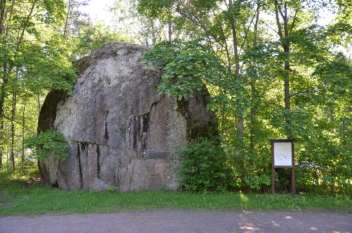
Sormuskivi erratic boulder
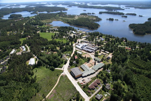
Taipalsaari MunicipalCentre
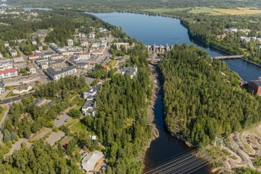
Vuoksenniska ice-marginal delta and Saimaa outlet
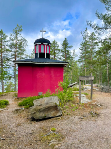
Ilkonsaari island outcrops
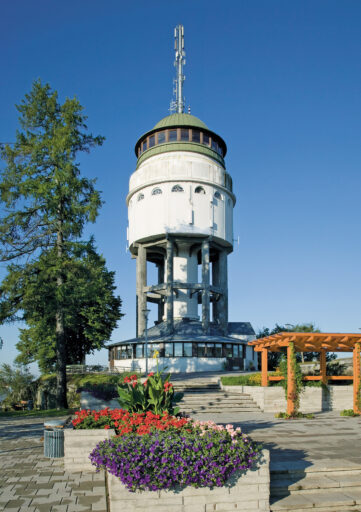
Naisvuori
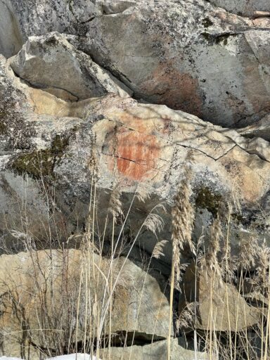
Kolmiköytinen rock painting
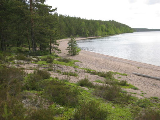
Rastinniemi shore formations
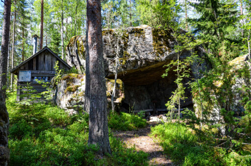
Enkelinpesä broken erratic
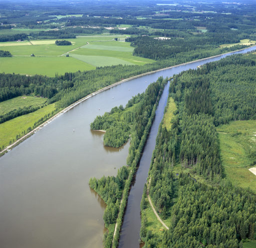
Saimaa Canal and the Pontus Excavation
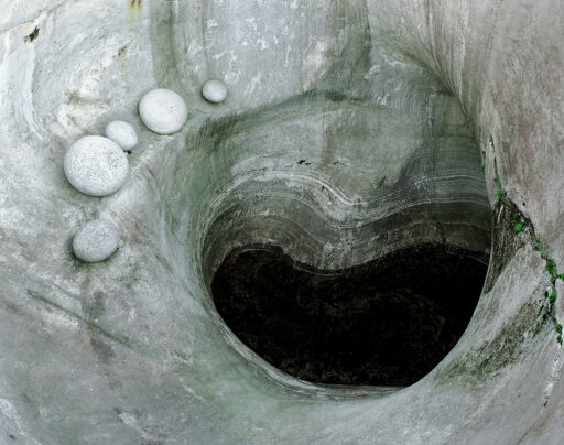
Pursiala Pothole
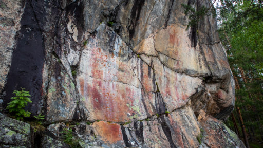
Astuvansalmi rock paintings
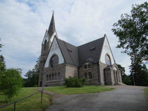
Savitaipale centre kettle terrain and rapakivi church
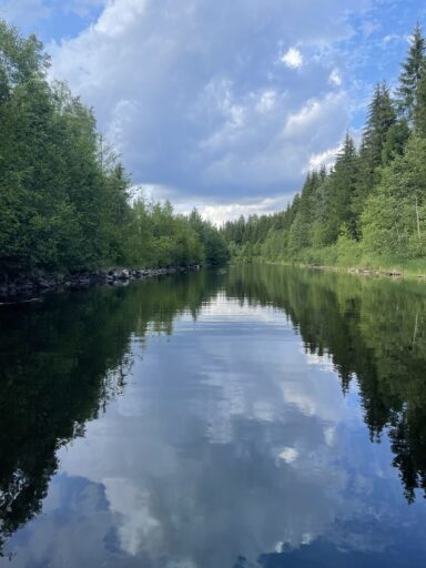
Kukonharju canal
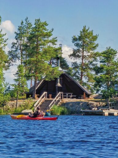
Karhusaari
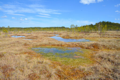
Suurisuo raised bog
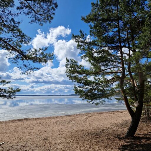
Päihäniemi
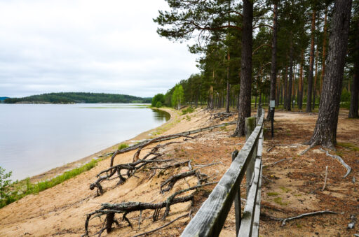
Pistohiekka
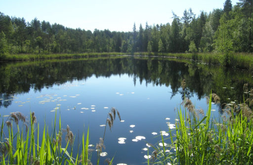
The Matinmäki drumlin shield
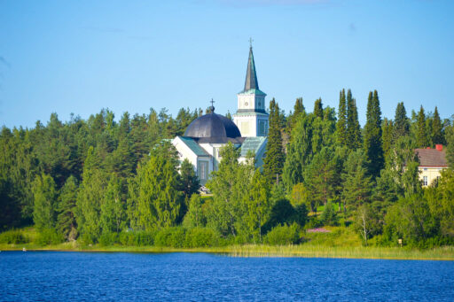
Ruokolahti church hill and major fault zone
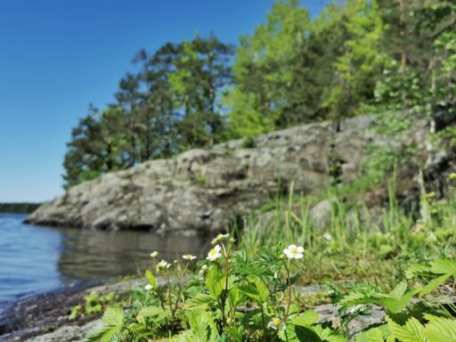
Pappilanniemi rocky shores
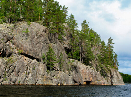
Haukkovuori Scarps
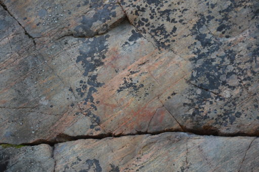
Syrjäsalmi rock painting
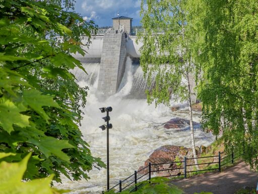
Imatrankoski rapids and Kruununpuisto Potholes
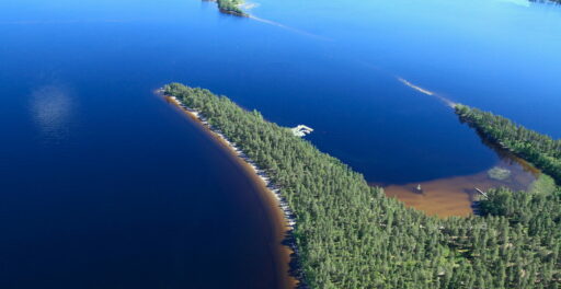
Sarviniemi
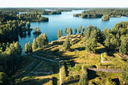
Kärnäkoski fortress
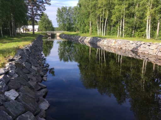
Telataipale canal
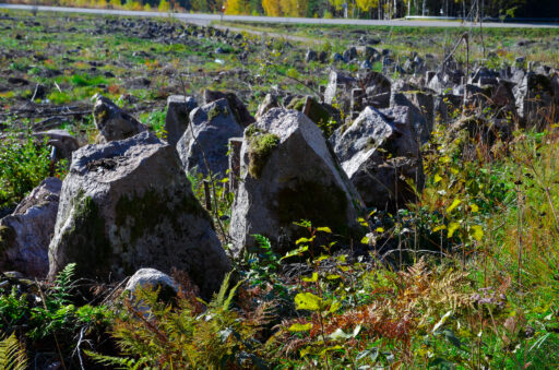
Salpa Line stone defences at Syyspohja
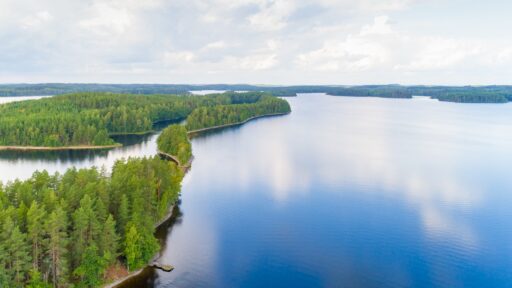
Ruuhonsaaret
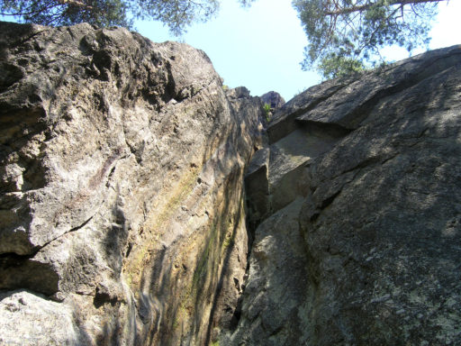
Steep rocky area at Tollonvuori
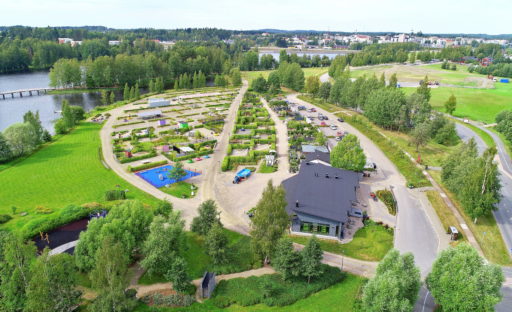
Mikkelipuisto park next to the esker ridge
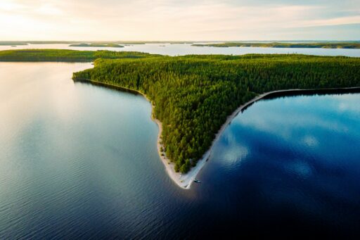
Kyläniemi ice-marginal formation
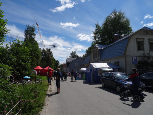
Sulkava drumlin terrain and Amadeus stone
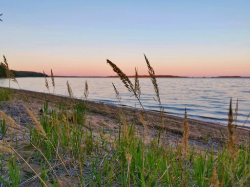
Huuhanranta shore formations
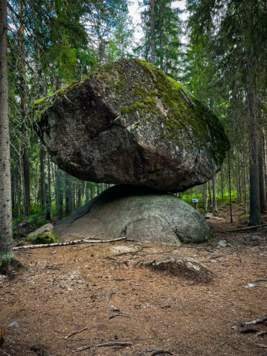
Kummakivi erratic boulder
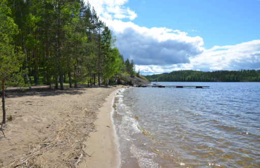
Karihiekka beach and outcrops
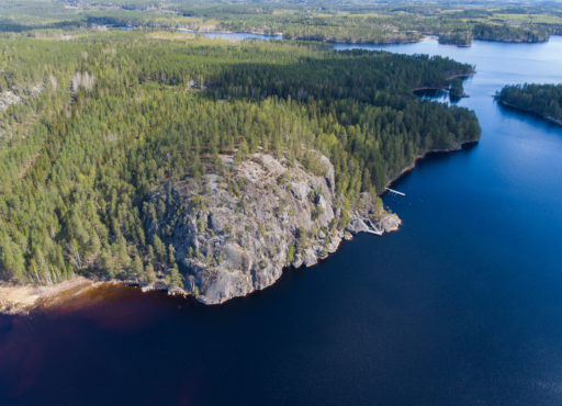
Pisamalahti hill fort
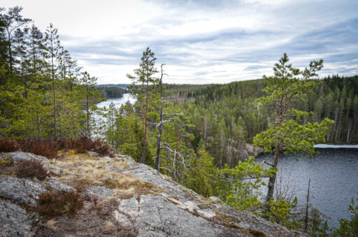
The escarpments of the Luotolahdenvuori
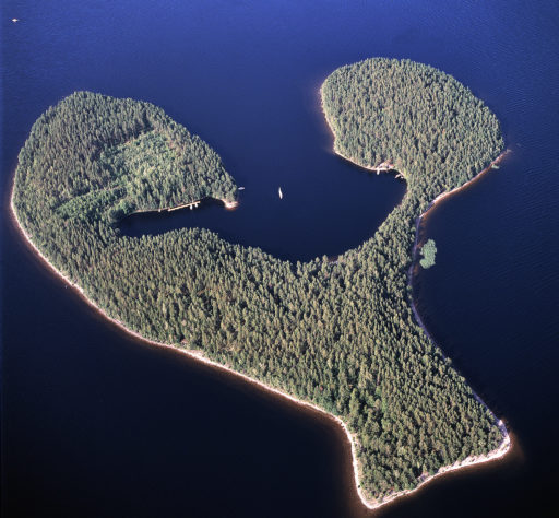
Satamosaari, glaciofluvial deposit
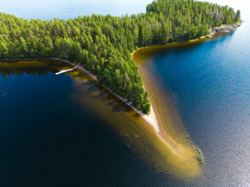
Raintsaari esker island and outcrops
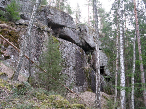
Rapakivi scarps at Morruuvuori
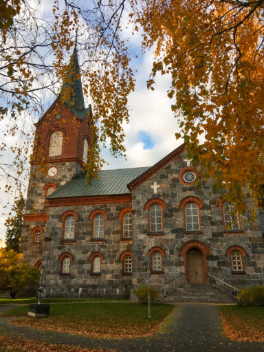
Drumlins of Juva
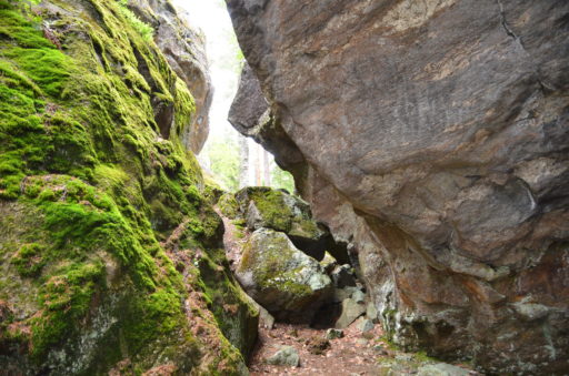
Rakokivet erratic boulders
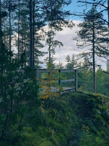
Kuivaketvele hill fort
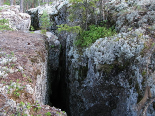
Rakokallio bedrock crack
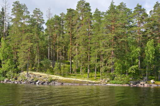
Suomensalo esker terrain
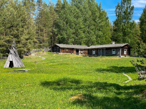
Liehtalanniemi
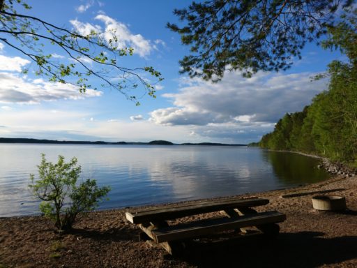
Lammassaari
The delta of Lohilahti and the ancient streambed
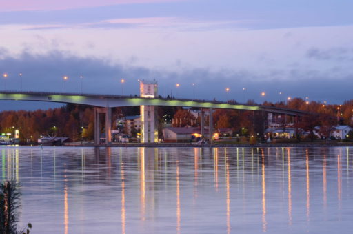
Puumalansalmi fracture zone
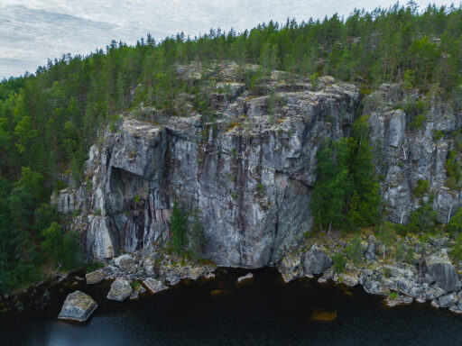
Kaarnavuori overhanging cliff
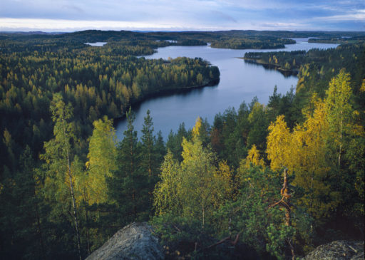
Rocky terrain at Neitvuori
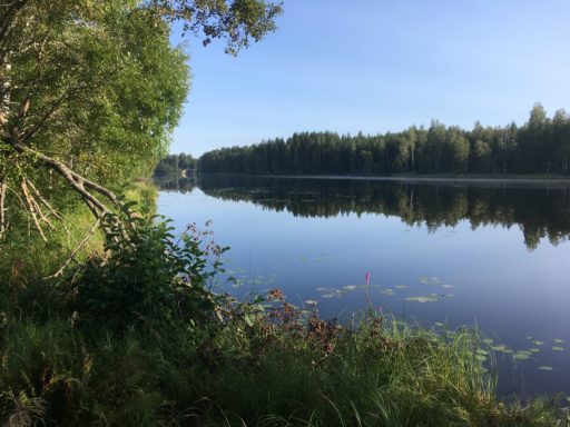
Myllylampi ancient outlet channel
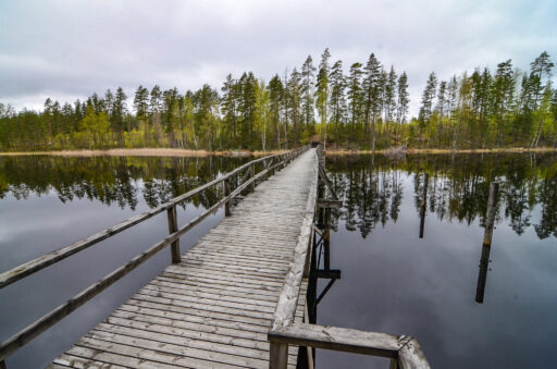
Vilkaharju esker terrain
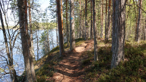
The Saimaa seal trail through esker terrain
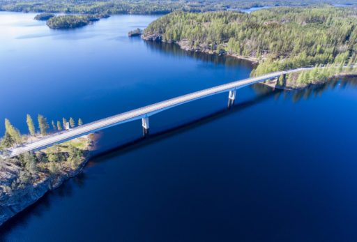
Lietvesi scenic road
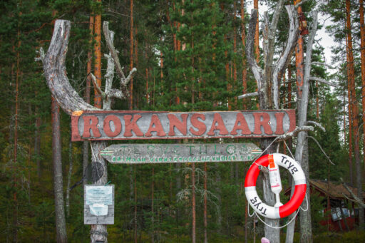
Rokansaari
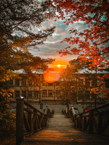
Rakuunamäki ancient ruins
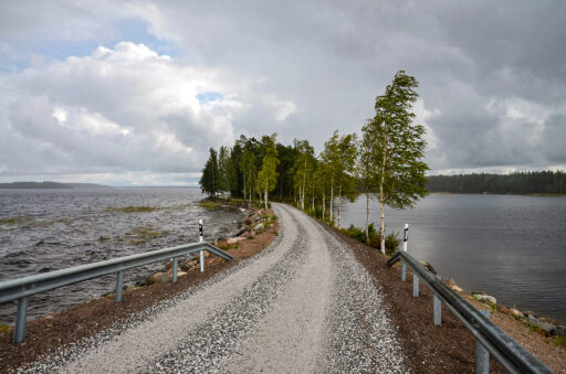
Esker ridge between Ketvelinniemi and Kermanniemi
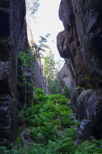
Loketononkalo over flow channel
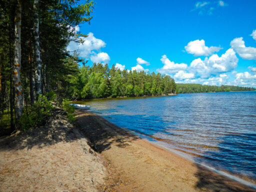
Lepänkanto esker terrain
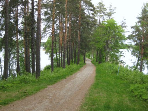
Kaihunharju esker terrain
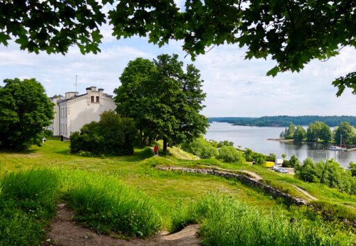
Lappeenranta fortress and harbor
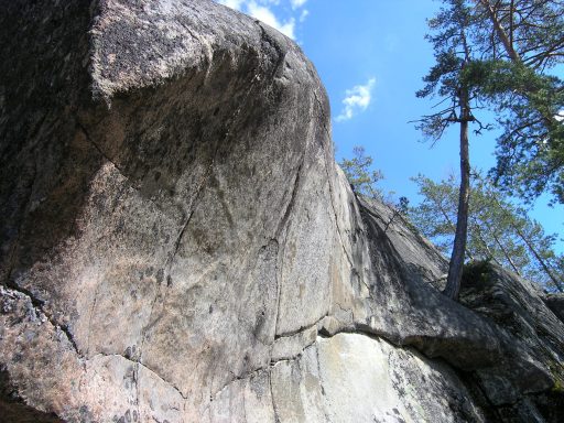
Sarkaslampi bedrock topography