Experience a nationally valuable moraine formation
The drumlins of Matinmäki and the surrounding area were created as the glacial flow of the continental ice sheet modified material below it and laid material behind rocky hills into long ridges. The term drumlin shield refers to the fact that the Matinmäki ridge group has a shared wide rocky core. In the southeast direction, the drumlin shield of Matinmäki is bordered by the Vitjanen lake fracture valley. Based on soundings made on the drumlin shield, the thickness of the till in the ridges is 10-25 m. The drumlins in the area are also characterized by fluting ridges commonly found on their surface. They are 1-5 meters high, hundreds of meters long moraine ridges showing the exact direction of the ice movement, which appear on the elevation maps as a striped terrain.
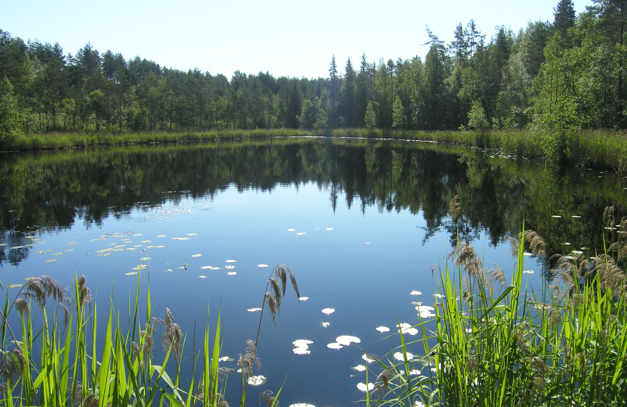
There is a marked nature path in the area which leads visitors through drumlins, rôche moutonnées, erratics and the paludified, curved Harakkalampi pond. The pond was formed when the southeast-bound glacier encountered a rocky projection. The ice flow changed to accommodate the shape of the rocks, and it eroded the ground, particularly in front of the rock, into a crescent shaped pool following the direction of its flow.
Matinmäki drumlin shield is located in Anttola along Hovintie road. The nature trail around the area is accessible from the Anttolanhovi parking area. Matinmäki is located north of Hovintie road.
Image: Harakkalampi, Tapani Tervo
Coordinates
Geographic coordinates
61.577905631, 27.599836889
GPS-devices
x= 531851,296 y= 6827306,502