Experience the diverse environment of Rokansaari
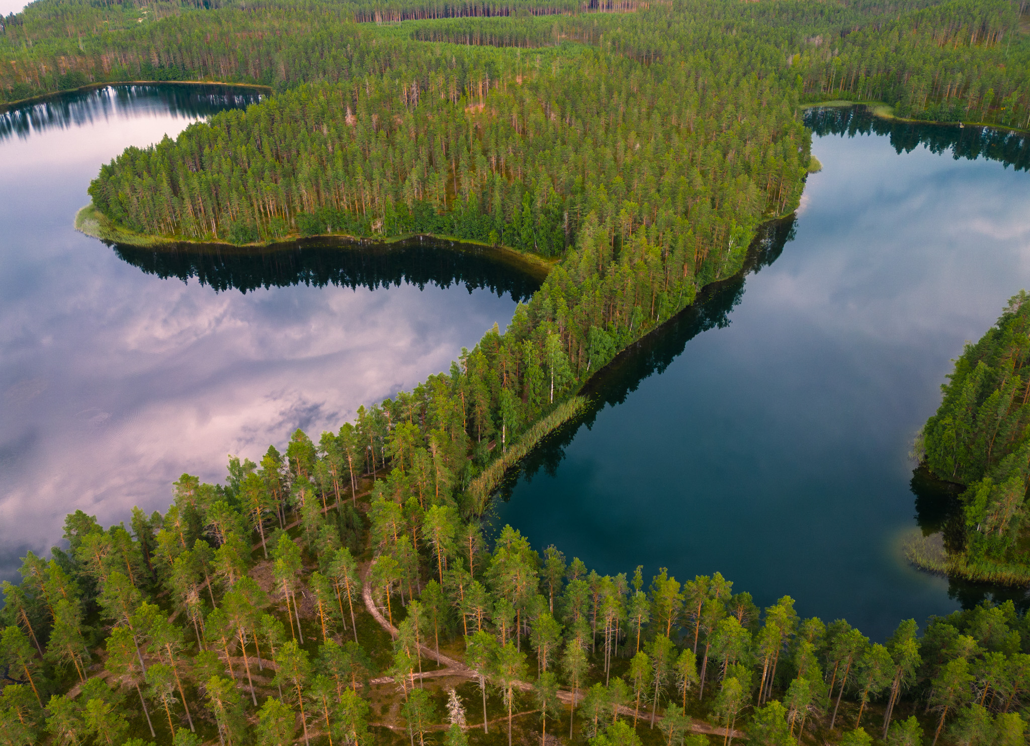
The Rokansaari ridge island is part of a 150 km long, discontinuous ridge section that starts at Pieksämäki and ends at the tip of Kyläniemi, near Niittylahti-Härkkimyksenhiekka. In the Rokansaari area, the land was released from the glacier 11 500-11 400 years ago, when the waters of the Saimaa ice lakes splashed over the area. Today, the landscape of Rokansaari is dominated by funnel lakes and various shore formations, such as the shore boulders and rills that formed during the different phases of the Saimaa. Historical traces of human activity on the island include battle trenches dug in the sandy soil and a Stone Age settlement.
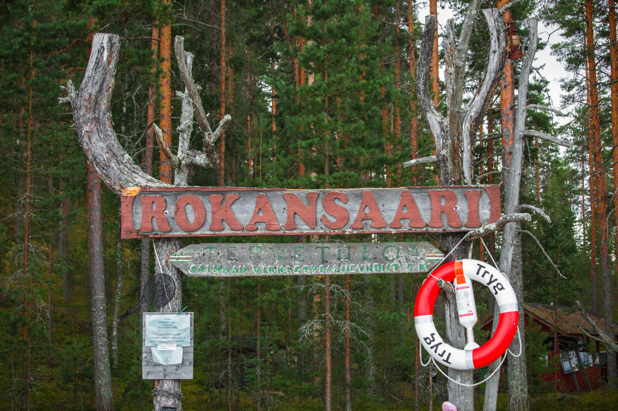
The Rokansaari recreation area is owned by the Saimaa Recreation Area Association. Cottage renters have access to rowing boats for rowing to the island. There is a Saimaa Geopark signpost on the shore of the hiking harbour explaining the geology of the area and the island's services, as well as hiker etiquette.
ATTENTION: There are many private courtyards in the southern part of the island that are part of the domestic peace zone. The protection of domestic peace means that buildings and areas that protect domestic peace may not be entered without permission. Everyone's rights are always valid outside the immediate courtyard.
Domestic peace also protects the apartment and the courtyard from the direction of water areas. The courtyard may not be entered along waterways and the pier in the courtyard may not be landed on without permission, unless it is necessary.
Image: Sanna Poutamo/ Saimaan virkistysalueyhdistys ry
Coordinates
Geographic coordinates
61.480639206, 28.050530878
GPS-devices
x=555956,600 y=6816775,800