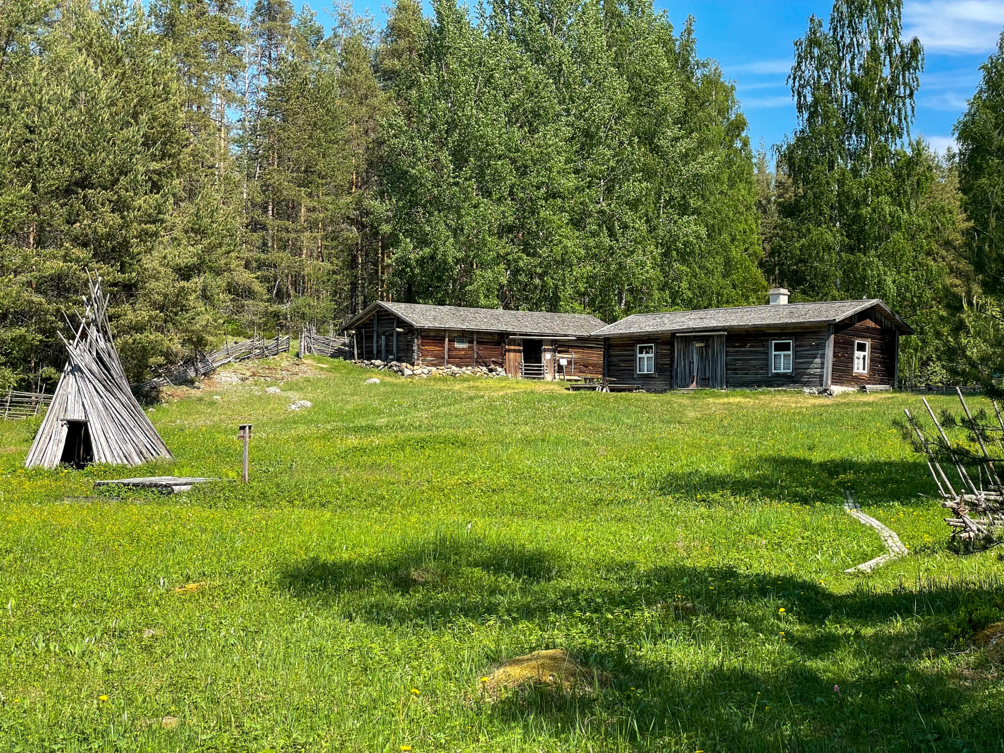
time travel to early 20th century Island life
There is a small museum estate in the traditional landscape of Liehtalanniemi. There is also a nature path with informative signs leading along the rocky shores. The Liehtala museum estate forests have been protected since 1980s. You can wander through the archipelago’s lush nature, hear the golden oriole whistling and enjoy the Saimaa scenery along the nature trail.
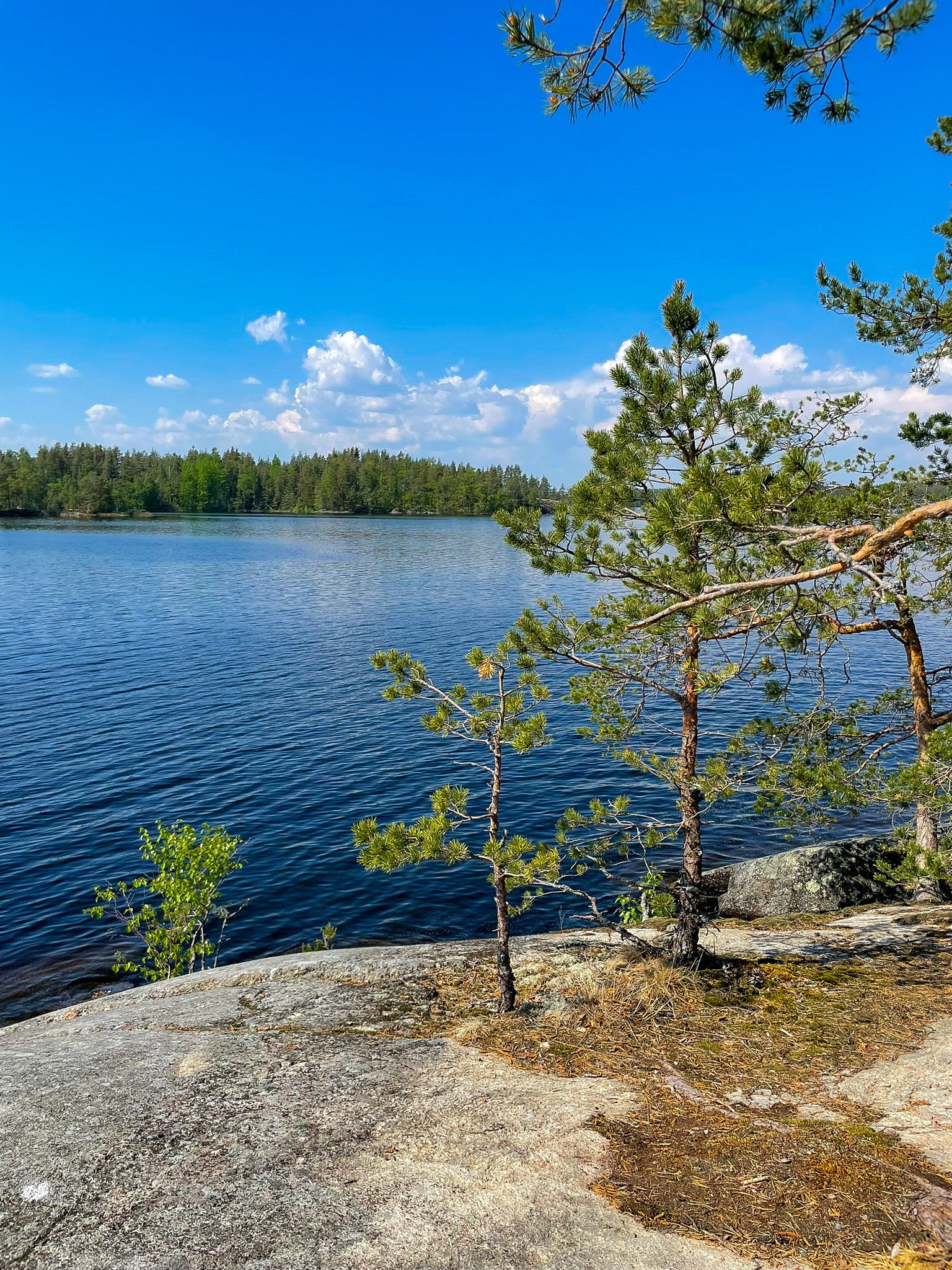
Liehtalanniemi geology
Liehtalanniemi is a rocky-shored peninsula with typical striped mica gneiss or veined gneiss bedrock. Glacial grooves running from north-northwest to south-southeast and depressions eroded by waves are visible on the shore’s rocks. There are also a few erratics and some small mounds of weathered rocks on the shore. The striped mica gneiss in the Liehtalanniemi rocky shores formed 1.9 billion years ago from sand and clay on the ancient seabed. These ancient sediments were transformed into mica gneiss through mountain folding, deep in the Earth’s crust.
During the mountain folding, at a depth of around 15km, granitic magma formed or penetrated the semi-solid mica gneiss mass. It crystallised into veins and stripes among the mica gneiss, forming a type of rock we call striped mica gneiss or veined gneiss.
Image: Veera Hakkarainen
Coordinates
Geographic coordinates
61.461966510, 28.124530662
GPS-devices
x=559933,805 y=6814761,763
Address
Niinisaari, Ylössaarentie 205
52200 Puumala