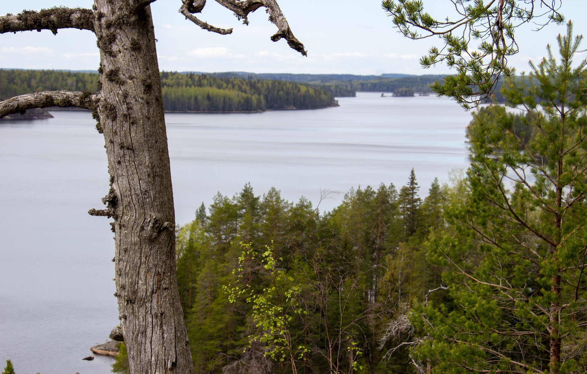
Experience the scenery that cannot be captured on camera
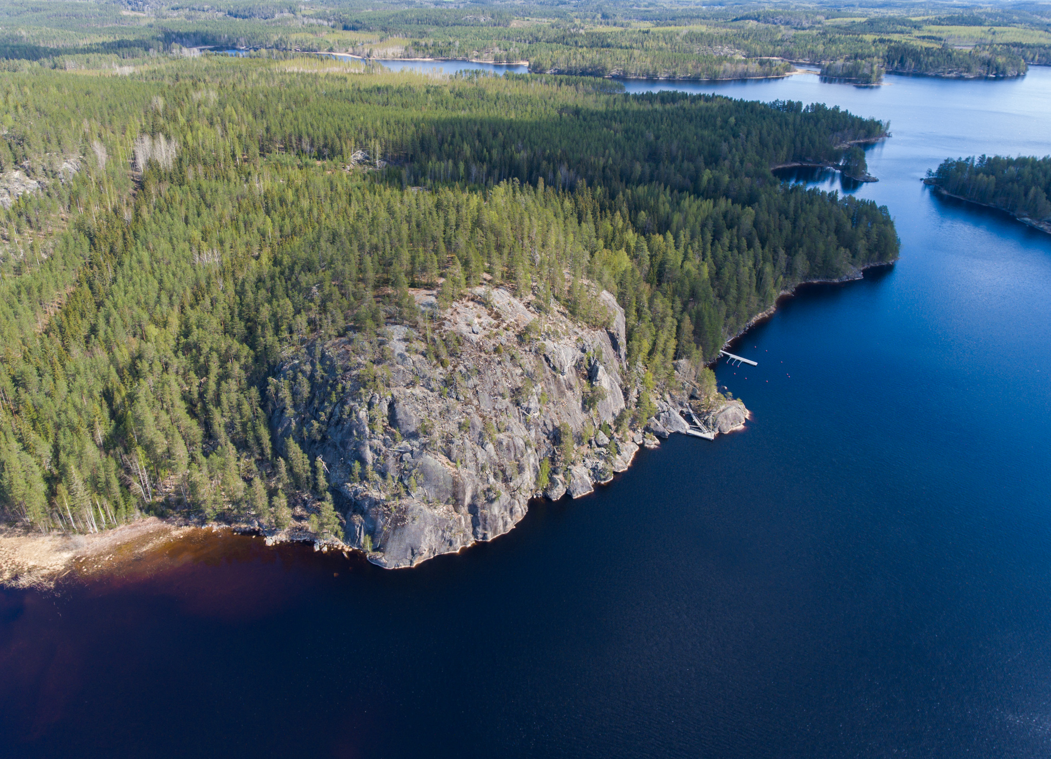
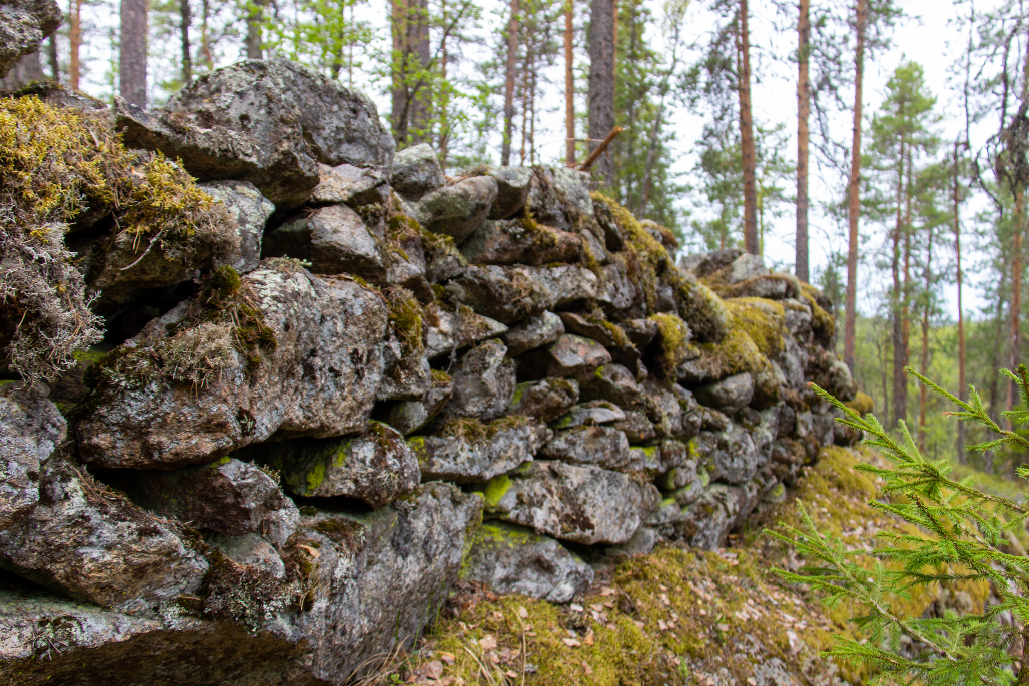
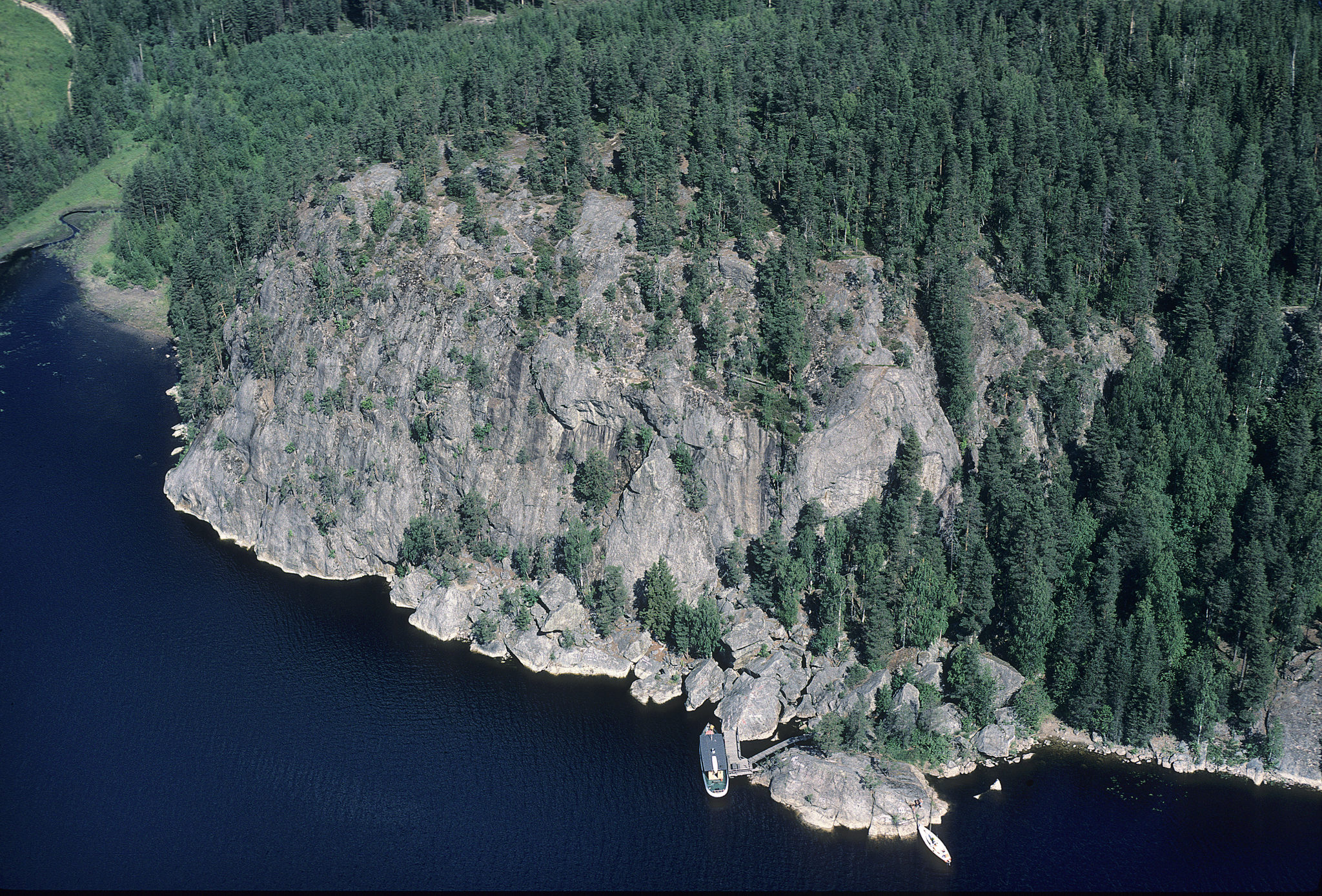
The Pisamalahti hill fort is one of Finland’s most famous Iron-Age hill forts, and since it is well protected by nature it has only required reinforcement on its eastern edge, where there remain several dozens of metres of rocky embankments around 3m wide and over 2m high in places.
The ancient fortifications date back to the Iron Age and are protective and defence structures on tall and steep rocks. In areas with a gentler slope there were log structures, whose stone trench foundations are still visible today. The ancient fortifications were not permanently inhabited, and people withdrew to them only when threatened by an enemy. Their construction and maintenance required extensive organisation and joint efforts. Finland contains around one hundred ancient fortifications. Around 12 of these are in the Saimaa area.
A marked path leads to the Pisamalahti hill fort from a car park around 400m away, and it is also possible to reach the site by boat. The terrain in front of the quay features boulders of various sizes and boulder caves. The Saimaa Geopark sign can be found at the foot of the hill fort.
Images: Veikka Liljeström, Arto Hämäläinen
Coordinates
Geographic coordinates
61.753090373, 28.319507988
GPS-devices
x=569667,505 y=6847381,394
Address
Linnavuorentie 306, 58700 Sulkava