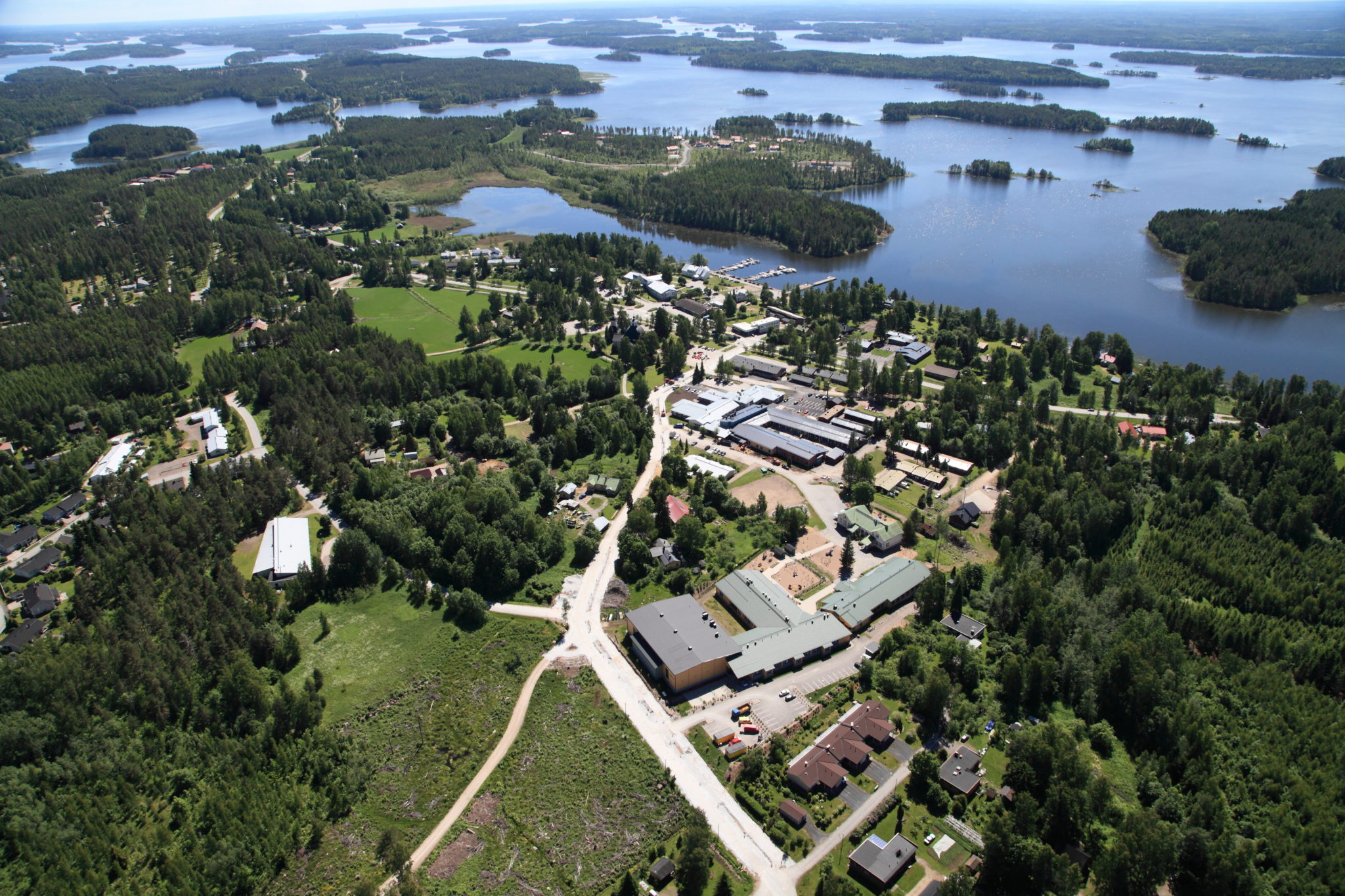
Experience a unique municipal center
To the south of the municipal centre of Taipalsaari is a glacial river deposit known as Saimaanharju, which is part of the fragmented ice-marginal formation zone between the Salpausselkäs. The zone shows a position of the ice edge which is younger than the First Salpausselkä but older than the Second Salpausselkä. Some of the settlement in Taipalsaari can be found on the top of Saimaanharju, which is dotted with kettles. Its slopes feature ancient shorelines and a Stone-Age dwelling and burial spot to the south of the formation in Vaateranta. The Saimaaharju area can be reached by driving the road 408 south of the municipal centre for about 3.5 km.
The Suurilampi in Saimaaharju is a swamp with a water level (77.7 m mpy) that is two metres higher than the surrounding Saimaa. This means that there are also poorly permeable soils such as clay in the estuarine layer. Soup formed in ridges and estuaries deposited by glacial rivers as ice boulders were buried in their sand and gravel layers. As the ice boulders gradually melted away, potholes of varying sizes and shapes were left behind. The hollows can be dry land hollows with forest growth or, if they are connected to surface or ground water, hollows with more swampy or marshy features.
The municipal hall and church and the Saimaa Geopark signpost can be found on the side of the municipal centre. Taipalsaari church and the adjacent Röyty local heritage house are cultural sites of Saimaa Geopark.
Image: municipality of Taipalsaari
Coordinates
Geographic coordinates
61.159942653, 28.061010975
GPS-devices
x=557095,155 y=6781065,800
Address
Kellomäentie 1, 54920 Taipalsaari