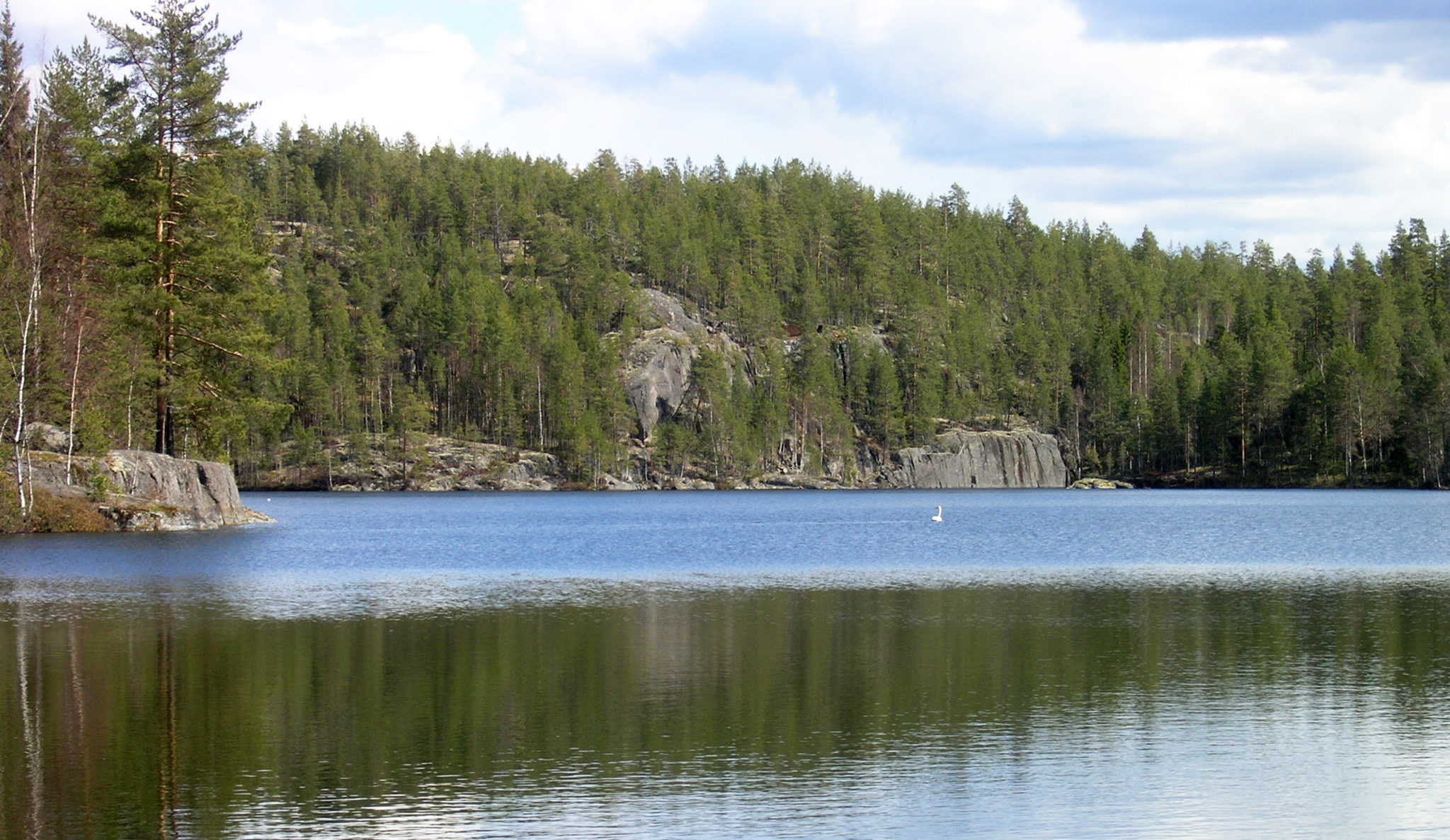
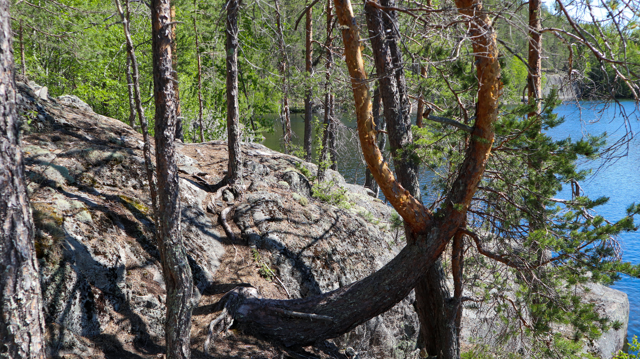
Sarkaslampi bedrock topography, a rocky scenery
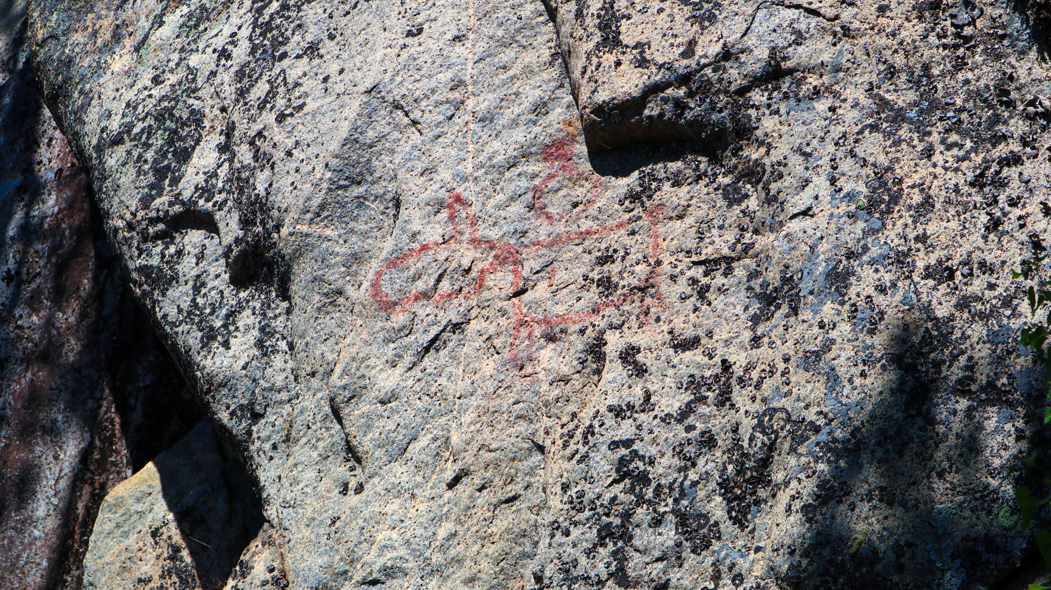
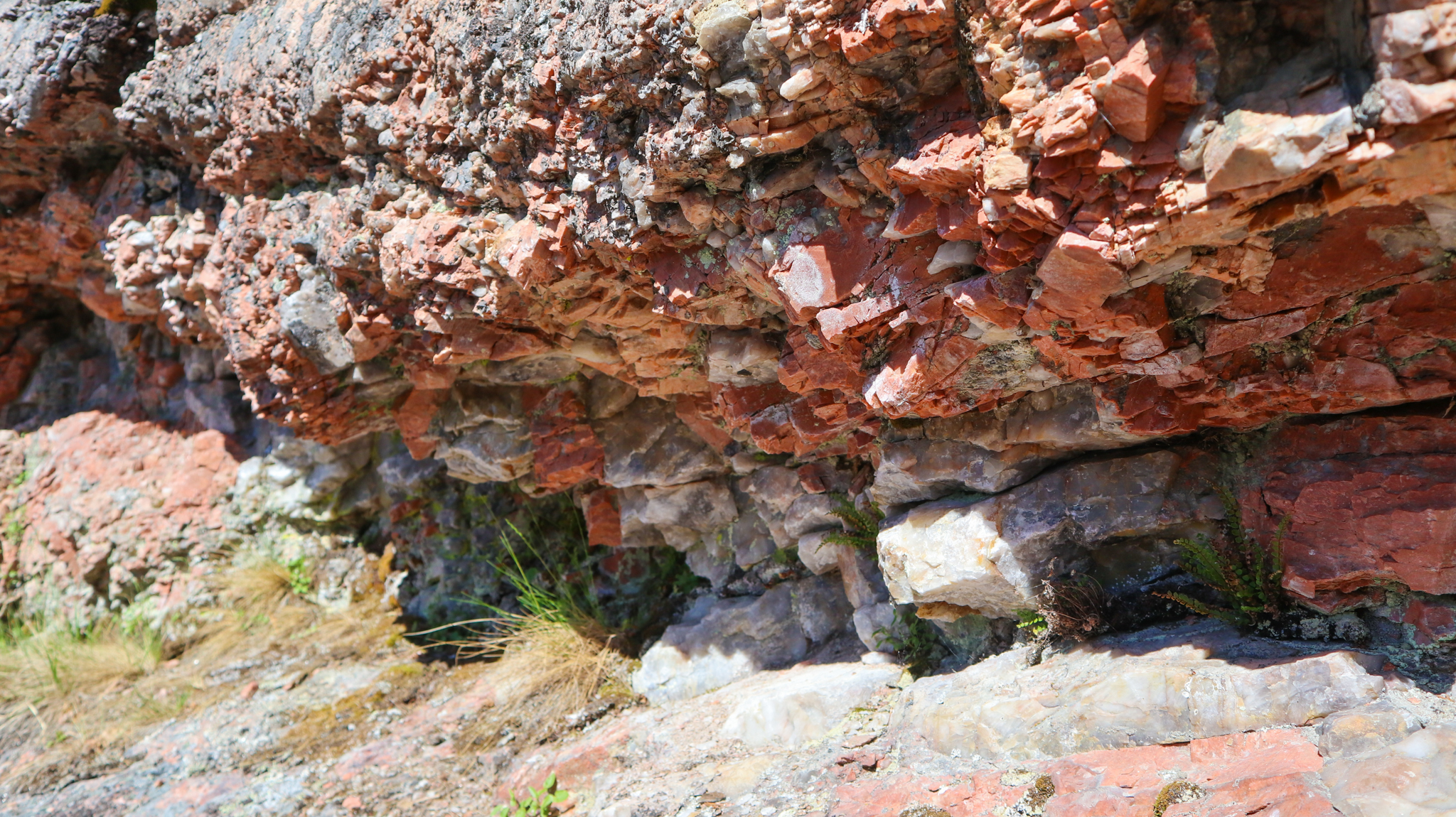
There are rock paintings in the area of Sarkaslampi depicting an elk and a boat, and there is a prehistoric quartz quarry in the quartz-rich part of a pegmatite dike on the eastern shore of Ristilampi. A curved surface typical to potholes, worn down by the melt-waters of the continental ice sheet, can also be seen above the quartz quarry.
Sarkaslampi georoute
Along the georoute there are three archaeological sites: a prehistoric quartz quarry on the eastern shore of Ristilampi and two rock paintings on Sarkaslampi. The most famous of these rock paintings is probably the Juva deer, painted on the impressive cliffs of Sarkaslammi, at a height of about three metres. Another, slightly more faintly visible, deer-themed rock painting is located near the Juva deer. A boat-themed rock painting is located near the southern end of Sarkaslammi. This painting can be found, after a little searching, at the monument symbol marked on the map, about three to four metres above the path.
Images: Tapani Tervo, Veikka Liljeström
Coordinates
Geographic coordinates
61.595191462, 27.911401839
GPS-devices
x=548367,800 y=6829423,800
Address
Viisalanmäentie 980
51890 Juva


