Näe ja koe Geokohteet Sulkava drumlin terrain and Amadeus stone
Experience the drumlin terrain of the Rowing municipality
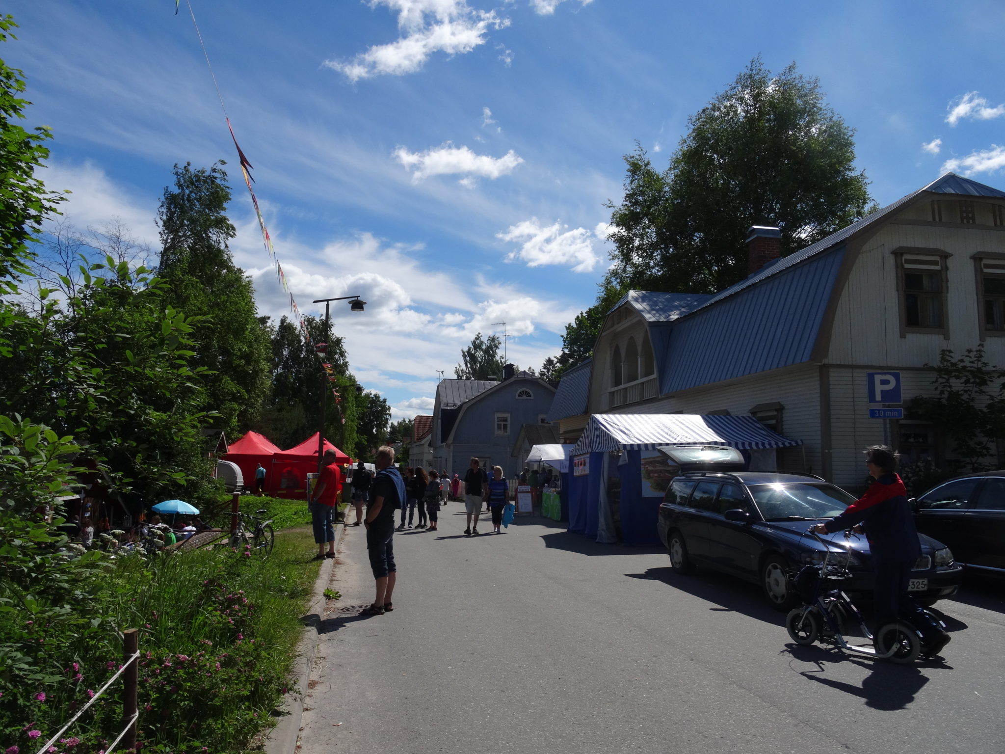
The Sulkava market square and its statue of a rower are located in drumlin terrain. Drumlins were created as the glacial flow of the continental ice sheet modified material below it and laid material behind rocky hills into long ridges. The drumlins are part of the expansive Pieksämäki drumlin field, which formed in the central part of the Finnish Lake District ice lobe. The thickness of the till on the drumlins can exceed 10 metres. Drumlins are best seen on maps as a northwest-southeast orientation of the terrain.
There is a Saimaa Geopark sign on the edge of the market square.
Image: Heli Rautanen
Coordinates
Geographic coordinates
61.787241156, 28.371438660
GPS-devices
x=572328,830 y=6851241,819
Address
Alanteentie 38, 58700 Sulkava