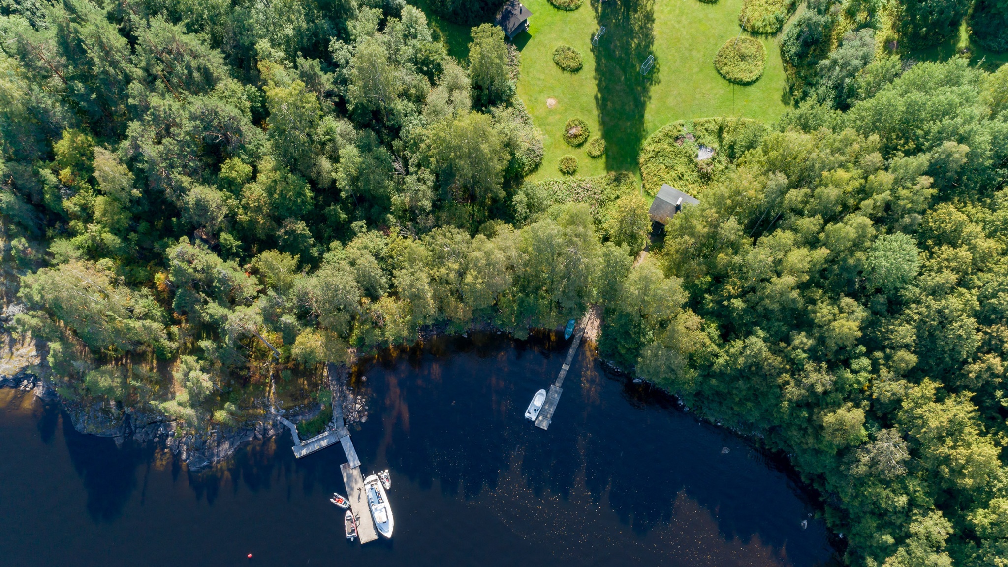
Experience the Muukonsaari nature trail and rocky shores
The southern shore of Saimaa is bordered by the First Salpausselkä, which formed at the edge of the ancient continental ice sheet around 12,000 years ago. At that time, Muukonsaari lay underneath the surface of the Baltic ice lake, in front of the ice sheet. At the bottom of the ice lake, soil consisting of fine material formed in the depressions of Muukonsaari’s 1.9 billion-year-old rocky ridges, and emerged from underneath the water when the Baltic ice lake’s water levels fell suddenly around 11,600 years ago. The waves did not have time to wash away the soil, and consequently, Muukonsaari remains a nutritious habitat where lush vegetation thrives.
A nature trail of about 1 km runs through the Muukonsaari, along which you can learn about linden and hazel trees and the geology of the cliffs. In Muukonsaari, please note that the picnic area is used for corporate and private events. Even then, the boat dock, campfire shelter, toilets and nature trail are freely available to hikers! Muukonsaari is an excursion destination of the South Karelia Recreation Foundation.
Also read the story Pencils from the sky, made in the Rural Explorer project. The story takes place in the spring of 1918 near Muukonsaari.
Image: Arto Apila
Coordinates
Geographic coordinates
61.160297110, 28.487078968
GPS-devices
x=580019,484 y=6781551,894
Address
The island can only be reached by water, either with your own boat or with a boat/cruise operator. The shortest boat trip to Muukon Island (approx. 4 km) is from Joutseno Marina, Poijutie 4, 54100 Joutseno.
