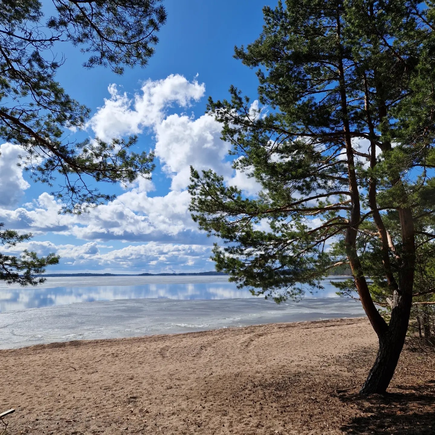
Experience the long ancient beach ridge
The ice-marginal formations are glaciofluvial deltas which accumulated at the edge of the continental ice sheet and consist of sand and gravel deposited by the ice sheet’s meltwater. Marginal formations may also contain mixed quaternary deposits, or moraine, moved and piled up by the ice sheet. Adjacent glaciofluvial deltas form stretches of ice-marginal formations. Päihäniemi and Kattelussaari glaciofluvial deltas with their curved edges were formed around 12,000 years ago, when the rivers that flowed in tunnel channels at the bottom of the ice sheet discharged at the ice edge and the sand and gravel carried by the rivers was deposited in fan-shaped deltas at the mouths of the rivers. There is a Saimaa Geopark sign at Päihäniemi parking area.
Image: Veera Hakkarainen
Coordinates
Geographic coordinates
61.171627236, 28.366156661
GPS-devices
x=573487,000 y=6782671,800

