Näe ja koe GEOKOHTEET Drumlins in Juva urban area

Experience the traces of the last ice age

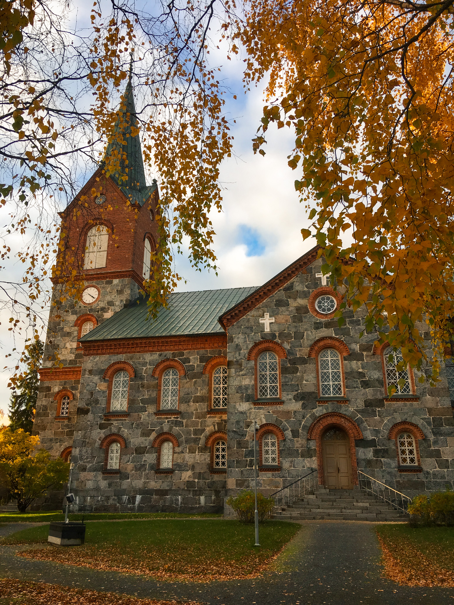
In the Juva area, the height of the drumlins ranges from barely discernible surface formations to ridges up to 20m high. The ridges can be kilometres in length, and often the drumlin material has been formed behind rock cores. Juva`s church is built on top of the drumlin tail from nearby rocks.

Three panels in the sign open up different contents on your mobile device (a series of panels beginning with the title “Discover the hidden treasures of Lake Saimaa”). You need the free Salmi AR app to view the content. Content includes pictures, videos, audio narration, and peepholes. You’ll find information about Suvorov’s time, wartime, and industrialization, and get to see what the area looked like 11,000 years ago and how the ancestors lived. The contents are currently available only in Finnish.

Image: Kaisa-Maria Remes

Coordinates

Geographic coordinates

61.898288383, 27.856031937

GPS-devices

x=544985,100 y=6863145,900

Address

Juvantie 15, 51900 Juva