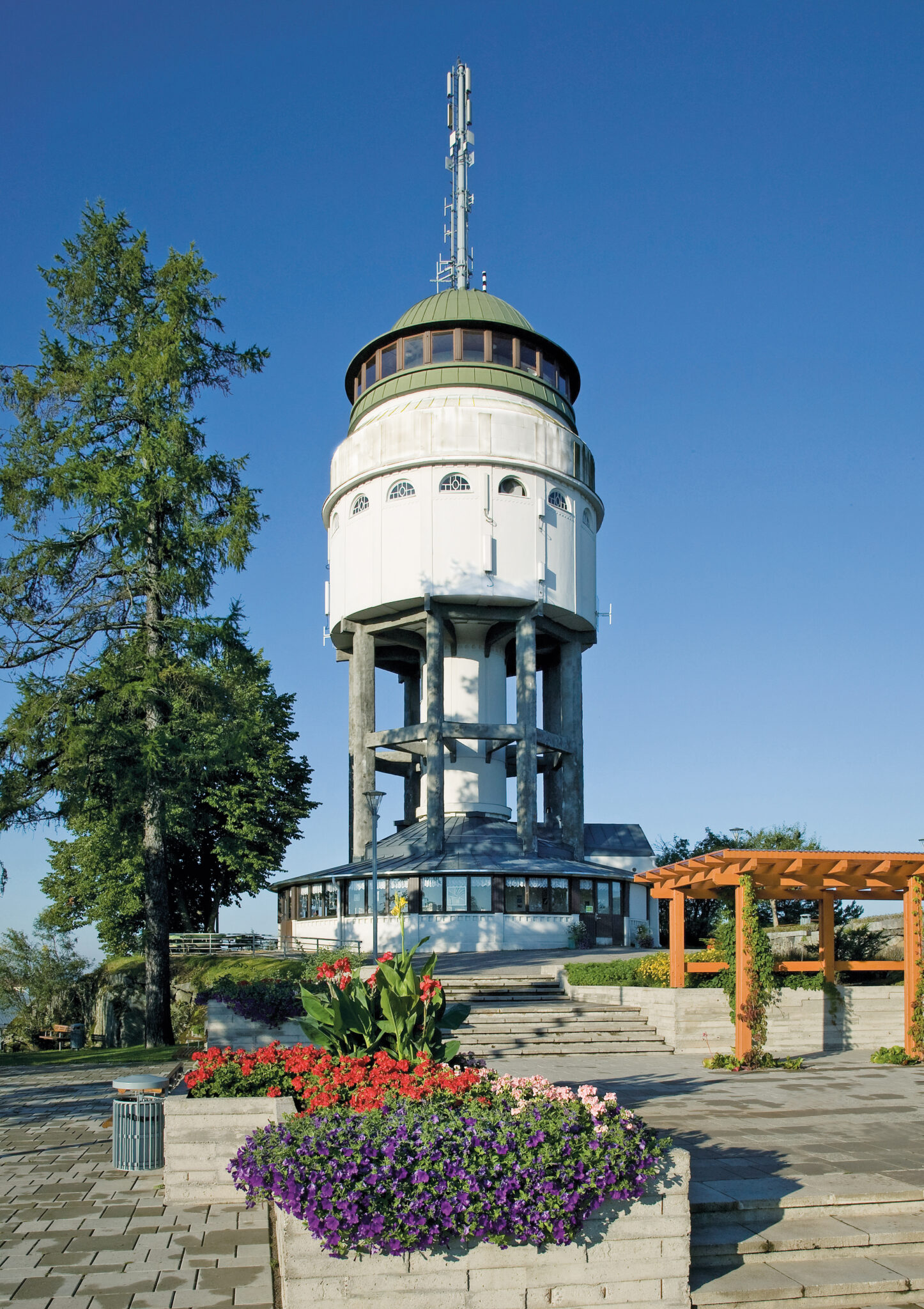
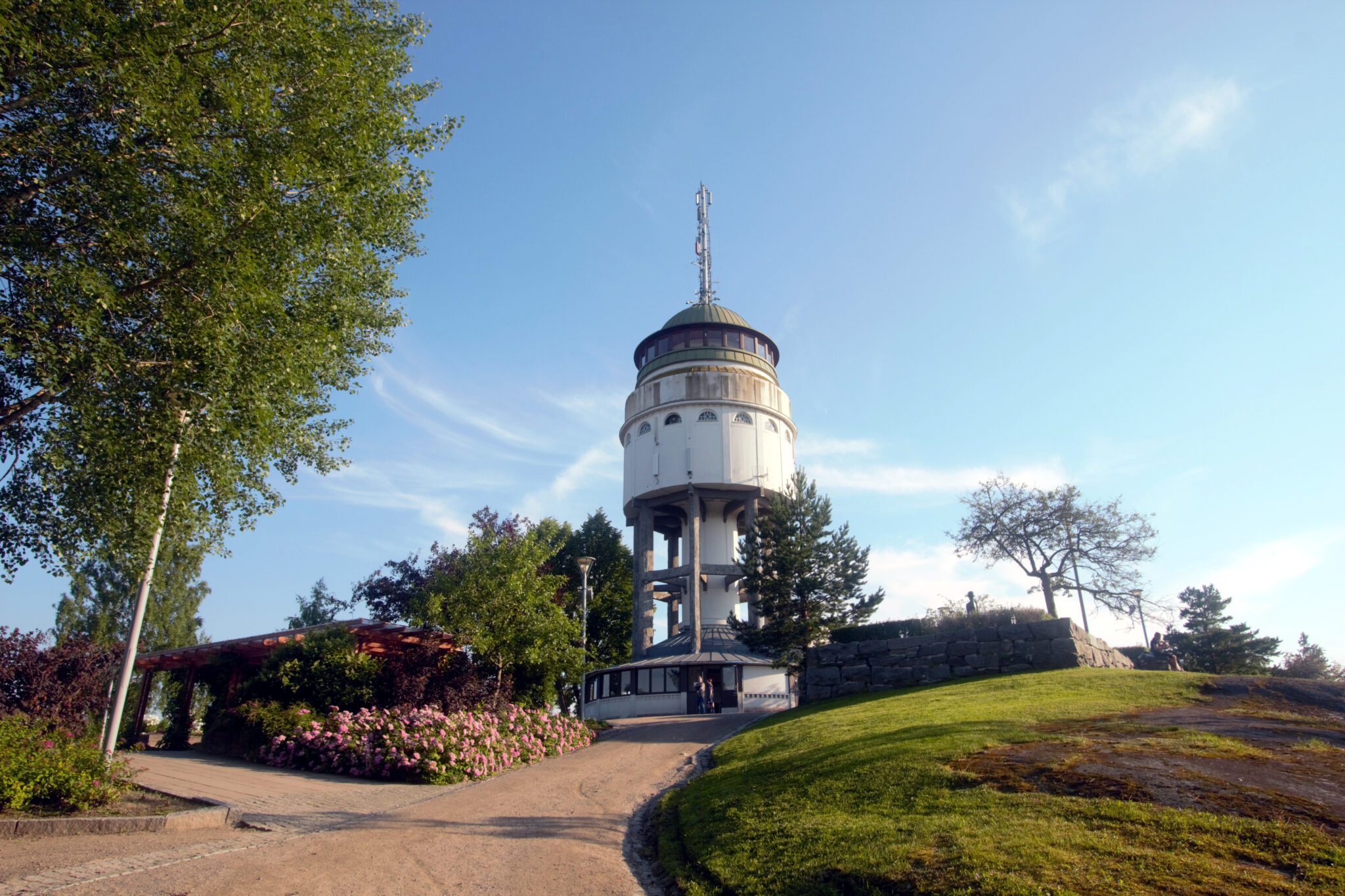
Experience the scenery of Naisvuori
Naisvuori is a mica gneiss hill in the city centre of Mikkeli. It rises around 25m above its surroundings. The hill’s gentle northwest slope follows the same direction as the schistosity of the mica gneiss, while the steep southeastern side runs against the schistosity as a result of perpendicular cracking and plucking and erosion by the continental ice sheet, which moved over the hill towards the southeast.
The road that leads to the top of Neitvuori hill goes through the northwestern slope. From the southeast there are steep stone stairs. During the construction of the stairs, the rock wall was quarried in some places. The mica gneiss’ structure and direction of schistosity are clearly discernible in cross-sections of the southeastern side. Schistosity means the direction in which the rock splits into plate-like pieces.
There are different stories about the name of the Naisvuori (the first part, “Nais”, refers to women). One story tells that young women watched the Battle of Porrassalmi from the hill in 1789, while older women climbed the nearby Akkavuori (“Akka” is a nickname for a woman). According to the second story, the women watched the decimation happening in the yard of the Suur-Savo vicarage at the end of the Cudgel War in 1597 from the top of Naisvuori.
Coordinates
Geographic coordinates
61.692293673, 27.272244263
GPS-devices
x=514402,989 y=6839932,255
Address
Mikonkatu 25, 50100 Mikkeli