EXPLORE THE LAMmassaari GEOLOGICAL TIME TRAIL
The Lammassaari is an estuary belonging to the first Salpausselkä marginal estuary, which began to stratify 12 300 years ago. Lammassaari tells a geological story in three time scales: the cliffs are 1.9 billion years old, the island itself was deposited more than 12 000 years ago and the third time scale is the ancient beaches around the island. The oldest is formed by examples of ancient rock formations found on the island's trails. The island itself was formed on top of this by sand and gravel deposited by a glacial river. The third level is formed by the ancient beaches around the island.
Only a small part of the original height of the estuary (around 101-102 m above sea level) remains at the southern end of the island - elsewhere, waves from the different phases of Lake Saimaa have washed away the sediments and formed distinct ancient beaches. Two Stone Age sites have been found on the shores of the Suursaimaa phase (c. 80 m mpy). Several funnelholes, the most impressive of which is a large, steep-edged funnel pond, are evidence of the Ice Age. At the northern end of the island, along the path, there are representative and beautiful boulders of vein gneiss, and at the very northern end of the island there is an attractive, sheltered rocky area.
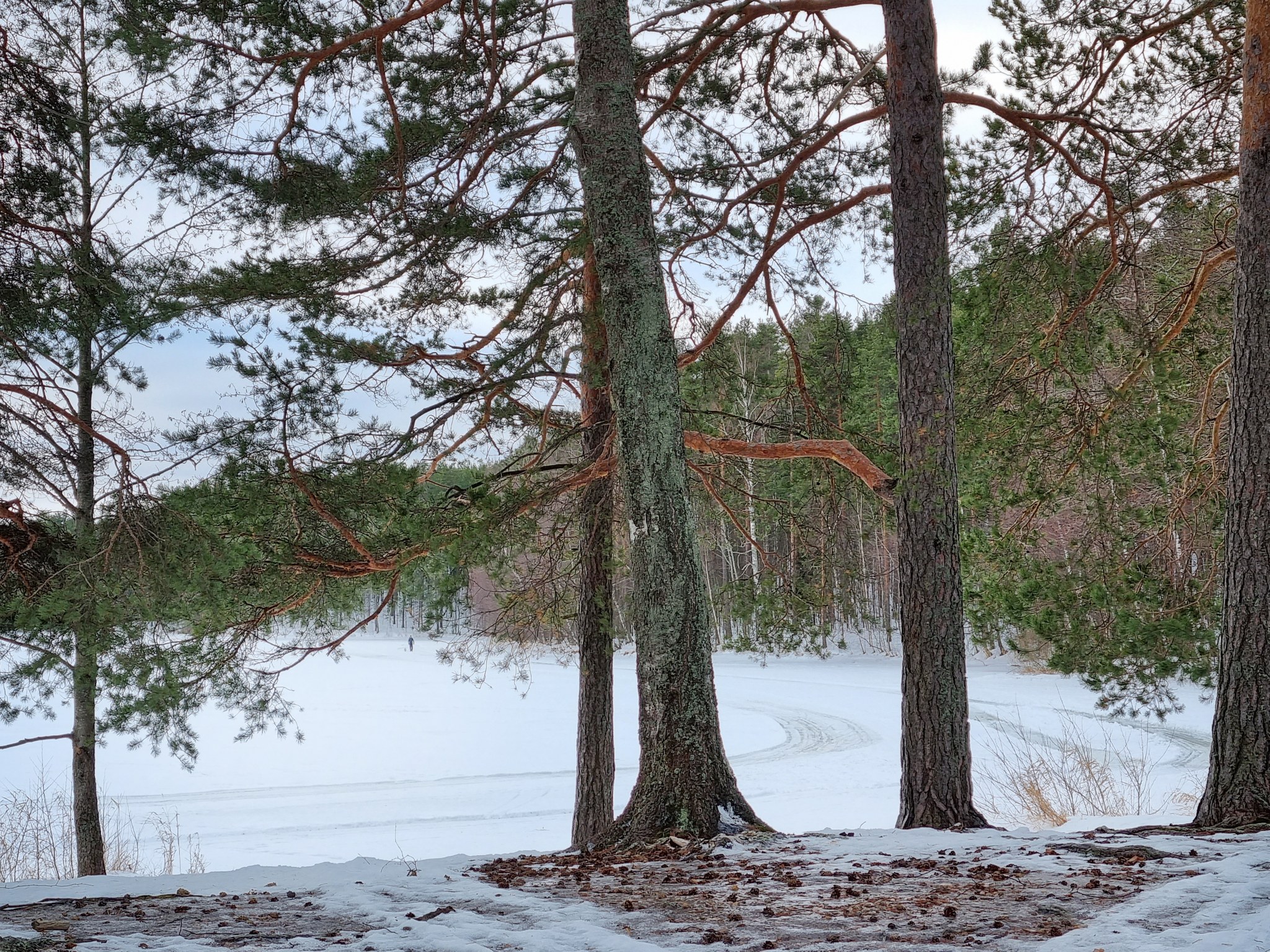
Beautiful nature trail
There is a varied nature trail in Lammassaari. The nature trail starts at the end of the embankment leading to Lammassaari. The trail goes around the southern parts of the island to the western shore (kota) and returns from there via the inner parts to the starting point. The trail is 3.7 km long. There are 31 checkpoints along the trail. It is also possible to choose a shorter return route from checkpoint 18 to the marina and from there to the spa.
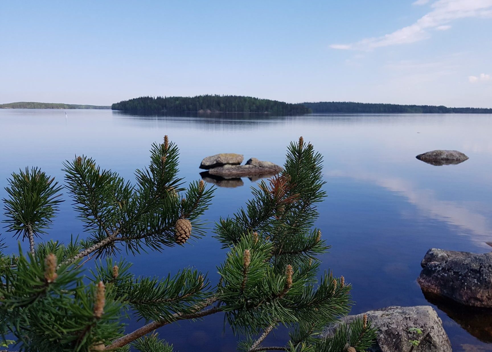
Image: goSaimaa
Coordinates
Geographic coordinates
61.208779721, 28.709660480
GPS-devices
x=591853,586 y=6787243,684
Address
Lammassaarentie
55420 Imatra