Experience the Kaihu esker trail
The Mikkeli area emerged from underneath the melting continental ice sheet around 11,300 years ago – at that time, the area was dominated by the Yoldia Sea shore, which reached almost 110 meters above sea level (msl). The summit plains of the esker delta to the southern area of Kaihunharju which formed at around the same time is nowadays around 106msl. As the ice sheet receded from the area, the earth’s crust began to undergo uplift, and approximately 10,700 years ago Saimaa underwent isolation in the Mikkeli area and formed an independent lake from its predecessor, the Ancylus lake.
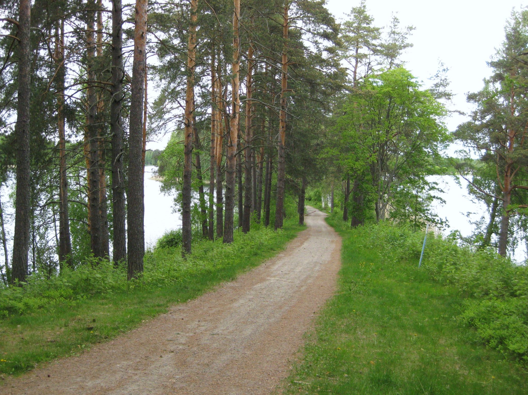
The Kaihu trail is suitable for walkers of all ages and is 2.5km long. It takes about 35 minutes to complete the route. The route is partly on a tarmac road and through a hilly landscape. The easiest way to start the tour is from the parking lot of Kaihu Coda. There are several parking facilities near the circuit, but from the coda car park you can go directly to the trail.
Image: Hannu Rönty
Coordinates
Geographic coordinates
61.673435676, 27.281276254
GPS-devices
x=514889,900 y=6837833,599
Address
Pursialankatu 3, 50100 Mikkeli