Experience an unforgettable scenery
Neitvuori may have been a sanctuary for our long ago ancestors. The older name of Neitvuori, Hiidenvuori, would suggest this. In ancient times, people called sacred groves and cemeteries "hiisI". There are plenty of place names with the name Hiisi in the surrounding area, for example the places called Hiidenmaa around Neitvuori.
Neitvuori also has its place in folklore: according to folklore, Neitvuori is a place where snakes are bred, and it is said that it was named after a maiden fleeing from the Russians who plunged down a steep slope during the Great War.
The bedrock in the area consists of migmatite, composed of mica gneiss and granite, characterised by fractures and faults. Neitvuori, as a more coherent block of bedrock, remains higher than its surroundings.
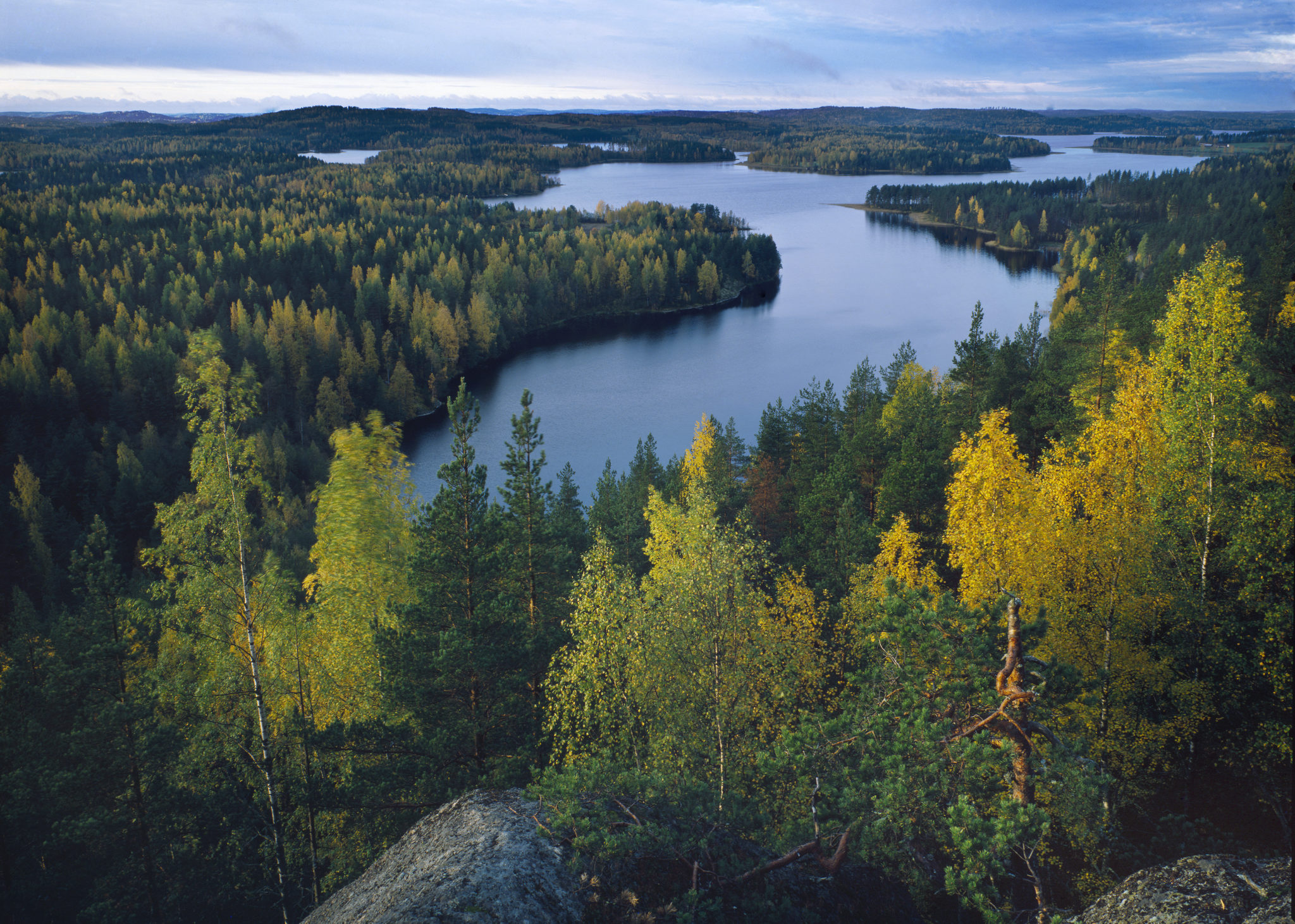
The Neitvuori trails offer several viewpoints and rest areas with fireplaces, and the Hiidenkirros trail includes the spectacular Hiidenkota. Hikers should allow enough time for hiking in the demanding terrain. Near the Neitvuori car park is the Hiidenlahti pier.
Image: Arto Hämäläinen
Coordinates
Geographic coordinates
61.670496216, 27.750428196
GPS-devices
x=539728,600 y=6837703,000
Address
Neitvuorentie 660, 52100 Mikkeli