EXPERIENCE AN OASIS IN THE MIDDLE OF THE CITY
The nature of Karhusaari is varied and you can spot different species of birds and plants. The rocks of Karhusaari are typically composed of mica gneiss with granitic parts. The open rocks, which have been eroded by glaciers and washed away by waves, also have some peculiar features: in the rocks at the northern tip of the island, where there are deposits of mica among the granite, parts of the mica have in places eroded deeper than the rest of the rock surface. The weathered parts have contained calcareous, carbonaceous and sulphurous layers and concretions, and now form peculiar patterns on the rock surface.
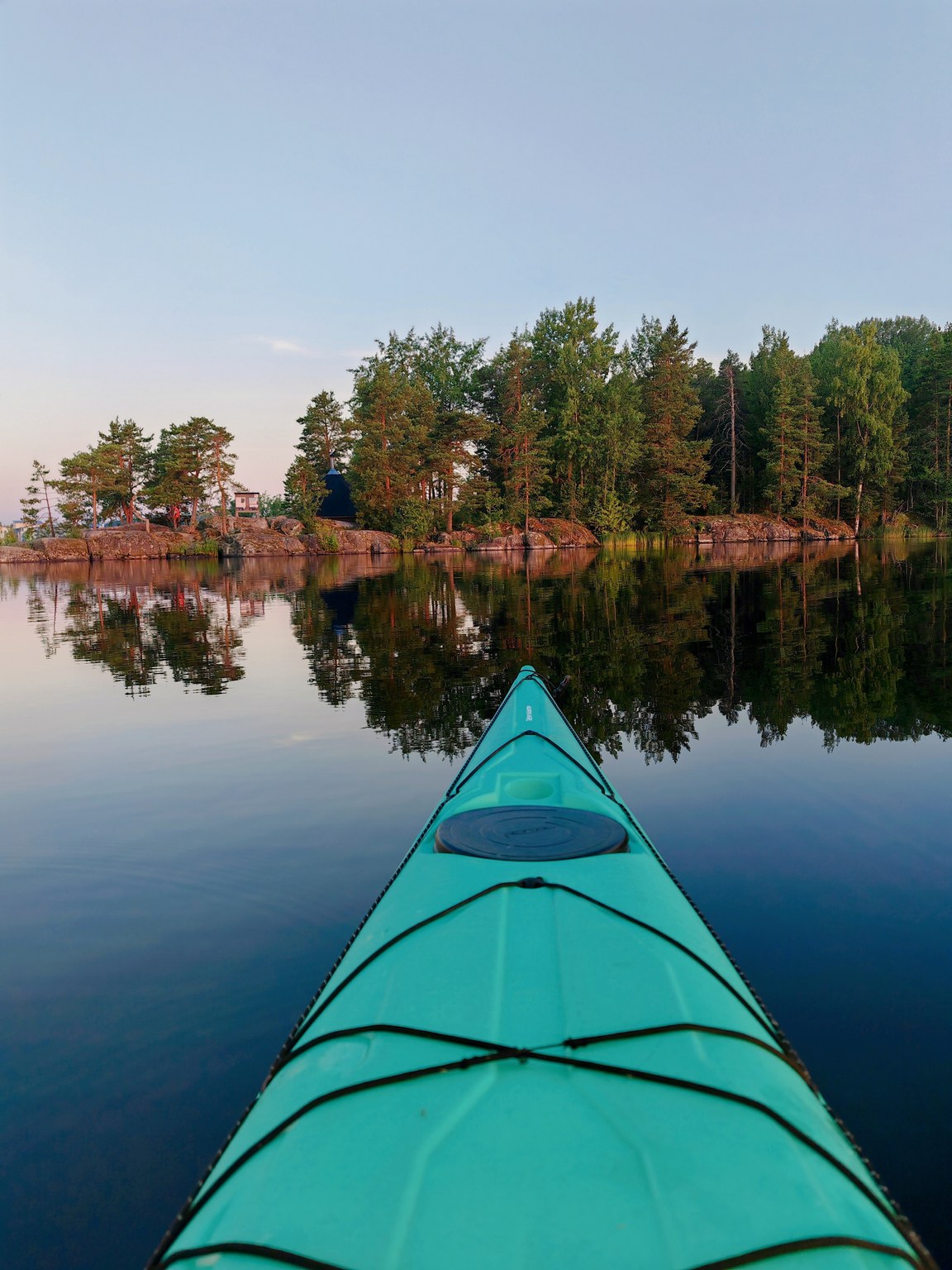
A large hut can be found at Karhusaari. Along the Bear Trail, which stretches for over a kilometre, there are four fireplaces and two latrine shelters. The pier on the south shore is for boaters and the one on the south-east for paddlers and rowers. The Bear Trail winds around the island's coastal cliffs and diverse mixed forest. Along the trail there are information boards about the nature, geology and history of the island. The ruins of a dance pavilion next to the trail are a reminder of history. On the eastern side of the island there is a rest area where, in summer, wooden hammocks and benches invite you to stop and relax. Karhusaari is a site of the South Karelia Recreation Area Foundation.
Read the story Karhusaari made in the Rural Explorer project, which conveys the atmosphere of the old dance place (Story: Pekka Vartiainen, Translation: Annira Silver)
Image: Hanna Ollikainen, goSaimaa
Coordinates
Geographic coordinates
61.077811371, 28.184623685
GPS-devices
x=563912,152 y=6772032,719