experience the great trail network of vuoksenniska
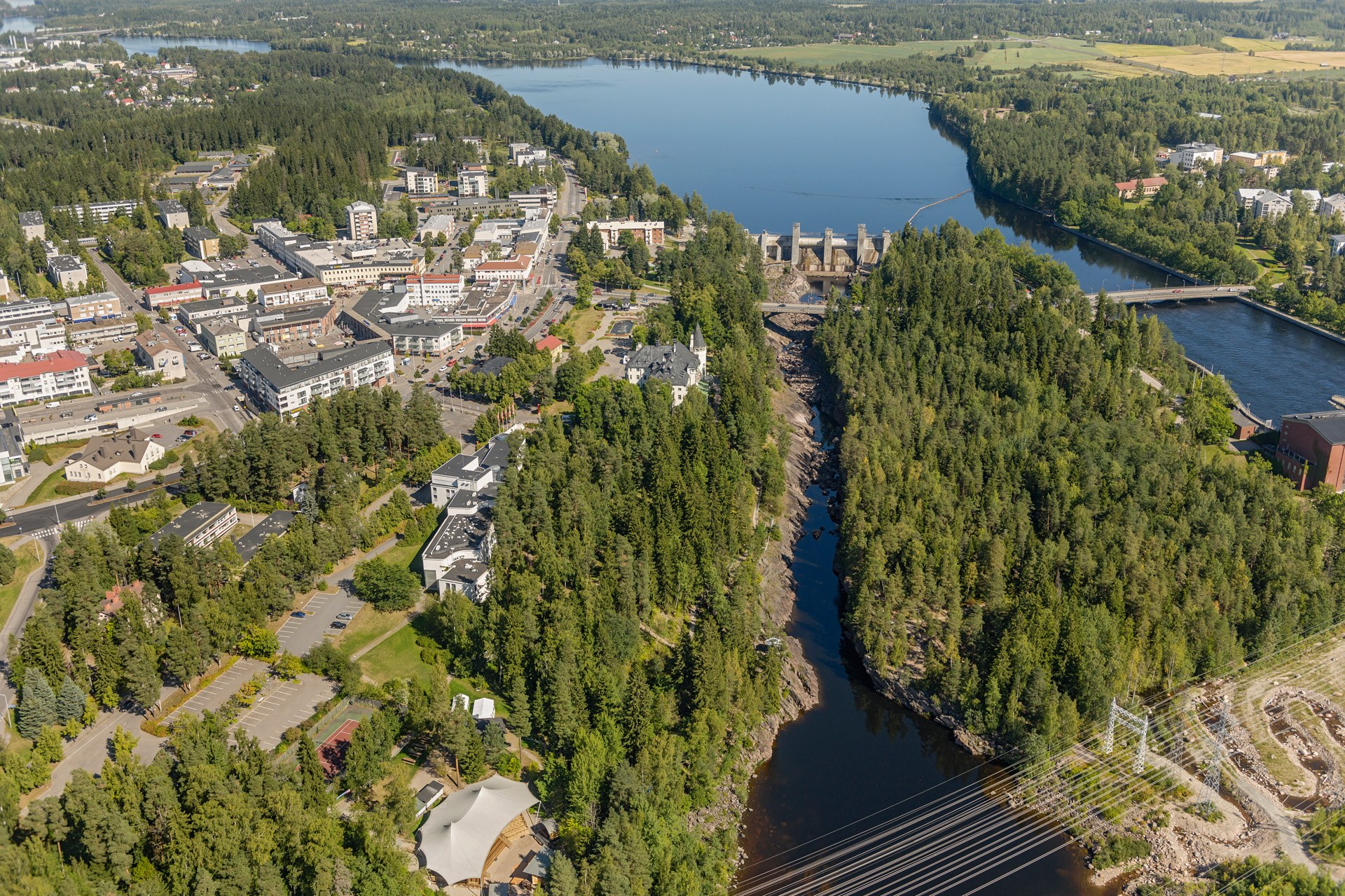
The Vuoksenniska trail network leads through a delta or estuarine plateau, the southern parts of which are dotted with a few funnel holes. Along the trail, the typical features of the marginal moraine cliffs are also well illustrated: on the glacier side, in this case in the north-west, the slopes of the moraine cliffs are gentle and long, while the south-eastern slopes are steep and often bouldery. In the Vuoksenniska school parking area and along the geological forest trail, there are signposts at Saimaa Geopark, which provide information on the geology of the area, including estuaries, marginal moraines, rock types and funnelholes.
The Saimaa Geopark signpost is located along Vuoksenniskantie, below the school. There is a geological forest trail along the Vuoksenniska estuary and marginal moraines, with QR codes and geological signposts.
Route description of the Vuoksenniska geological forest trail and instructions for arrival are described in the contents of the Outdoor Active platform.
Image: imatra.kuvat.fi.
Coordinates
Geographic coordinates
61.224138528, 28.790103449
GPS-devices
x= 596127,896 y= 6789069,720
Address
Vuoksenniskantie 96, 55800 Imatra