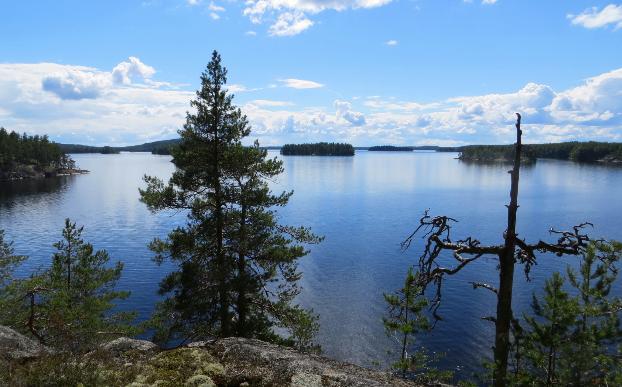
The Saimaa seal trail, beautiful landscapes, and diverse geology
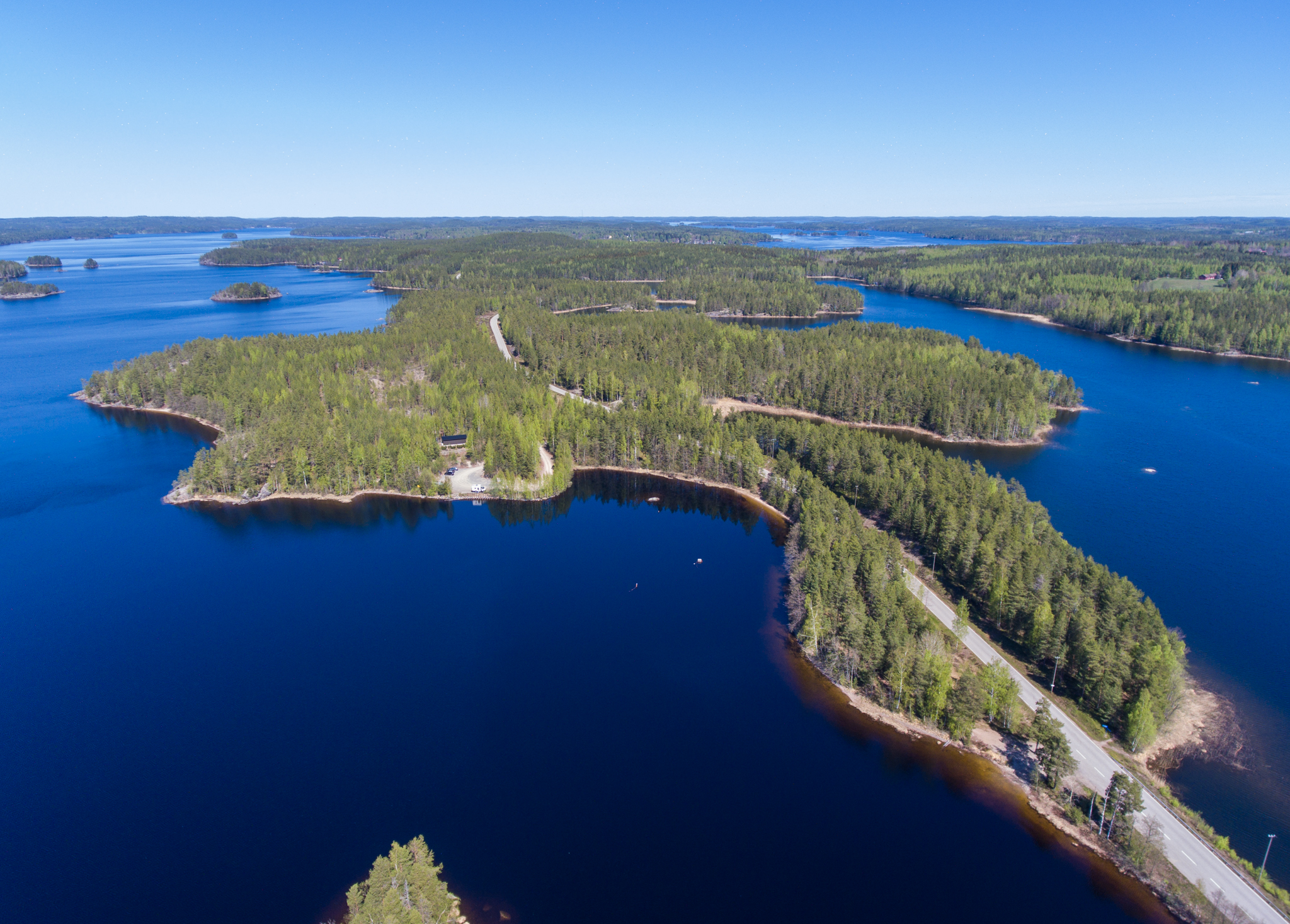
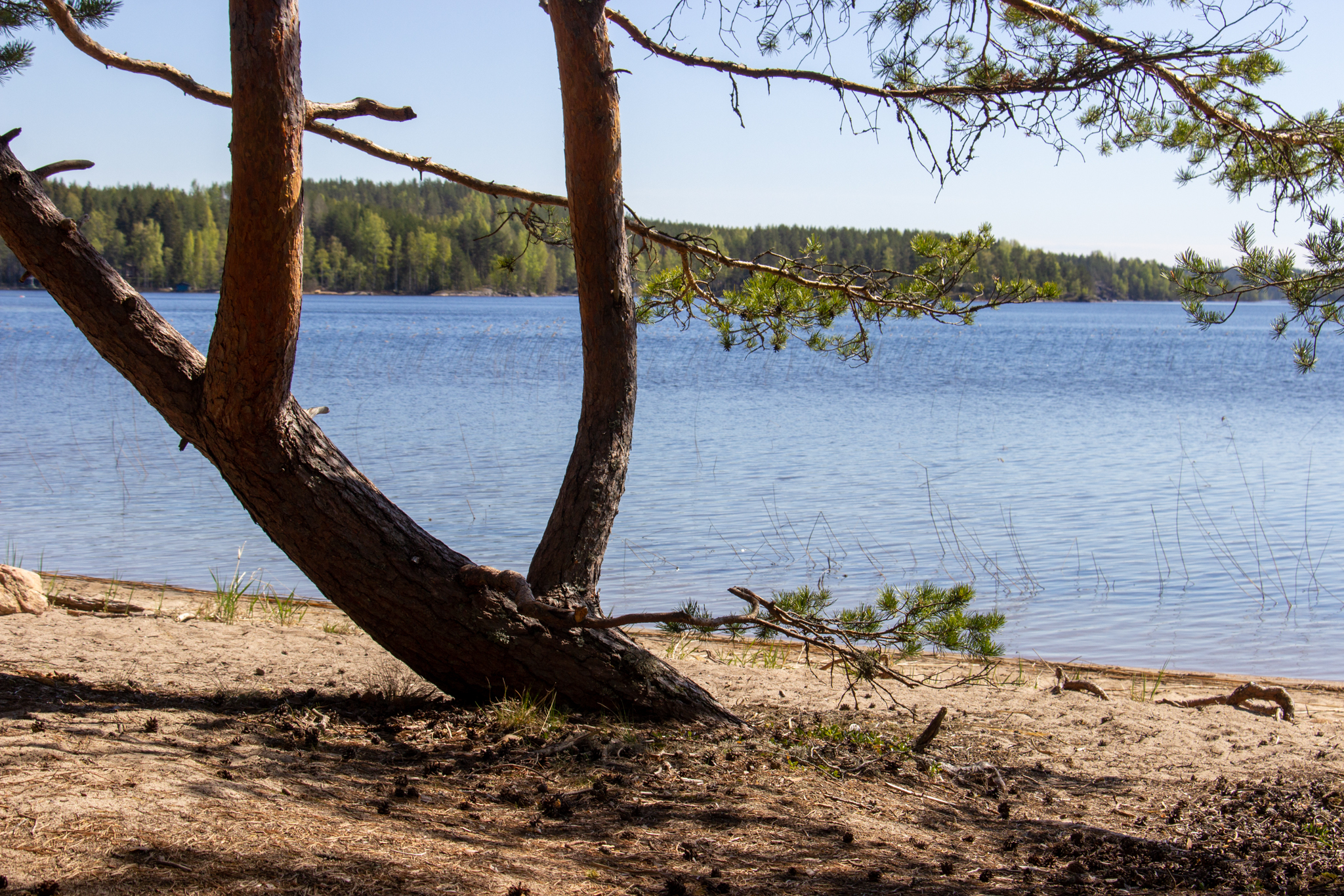
The area of Saimaa Seal trail emerged from underneath the continental ice sheet during Saimaa’s ice lake stage around 11,500 years ago. The types of rock found are typical to the area; mica gneiss and granite pegmatite. Kettles and ancient shore terraces add a little extra to the landscape. The Greater Saimaa stage shorelines along the path are a little over 84msl.
The path is marked and there are Saimaa Geopark signs, swimming places, campfire spots and an accessible lean-to shelter along the way.
The Puumala art path combines art and geology in the landscapes of the Saimaa seal trail! Along the path, there are eight checkpoints through which the geological secrets of landscape paintings are revealed. Check out the Puumala art path from visitpuumala.fi
Images: Veikka Liljeström, Riina Kaikkonen
Coordinates
Geographic coordinates
61.494009862, 28.164989487
GPS-devices
x=562026,200 y=6818368,600
Address
Three starting points:
- Puumala harbour and lift tower. Parking is available under the bridge (Lossitie) or at the Veera beach (Niementie 1). Cross the bridge and continue from Kotiniementie along the edge of the grove of deciduous trees towards Kitulannieme, following the signs.
- The route can also be reached from the junction of Kitulanniementie and Luukkolantie (Luukkolantie 77), where there is a parking area.
- There is a parking area at the excavation (Luukkolantie 227) and a water intake point for the water cooperative, 100 m from Norppashelter