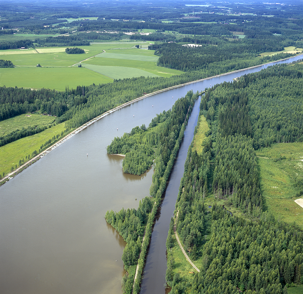
Saimaa canal, historic waterway
Construction first began on the canal in the 17th century and followed an ancient channel, but work stalled as the tools of the time were unable to excavate the rock and boulder-rich till typical to the ice-sheet side of the First Salpausselkä. The 500m excavation should have been at least 20 metres deeper if it were to have connected Saimaa to the nearby river. The Saimaa canal was completed near the first attempt at excavation in the 19th century and was subsequently renewed and extended several times in the 20th century.
The Pontus excavation, a 17th-century unsuccessful canal excavation, is located about 1 km north of the Mälkiä lock, along the Muukontie road and east of the Pontus school.
The Saimaa Canal Cultural Trail (Saimaan kanavan kulttuuripolku) runs by the side of the canal, between the locks of Mustola and Mälkiä. The trail is mostly easy, but there are stairs along the way.
Coordinates
Geographic coordinates
61.071388682, 28.304123885
GPS-devices
x=570373,047 y=6771439,989