Experience a Stone Age habitation
Raintsaari was exposed under the glacier in the Yoldiameri phase of the Baltic Sea about 11 300 years ago. A Stone Age settlement has been found on the island, as well as an Early Metal Age Lapin ruin. The Lapin ruin is oval in shape and made up of large stones piled on and around a small rocky mound. The Lapin ruin is 2.5-3.0 m in diameter and half a metre high.
Raintsaari Stone Age habitation site
A Stone Age habitation and an Early Metal Age Lapin ruin can be found in Raintsaari. The habitation was occupied around 3000-200 BC, at the end of the Stone Age and possibly still in use at the beginning of the Bronze Age.
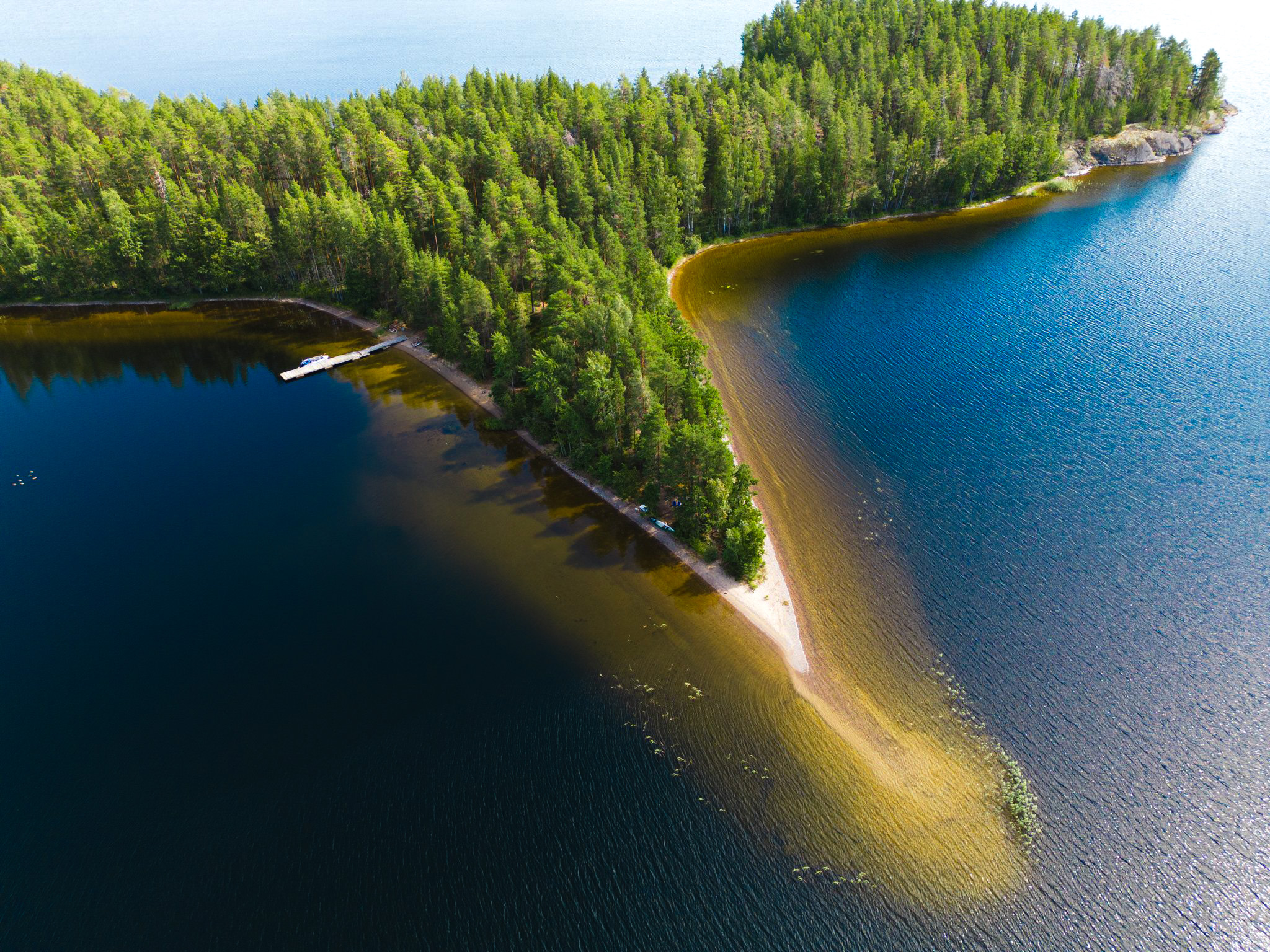
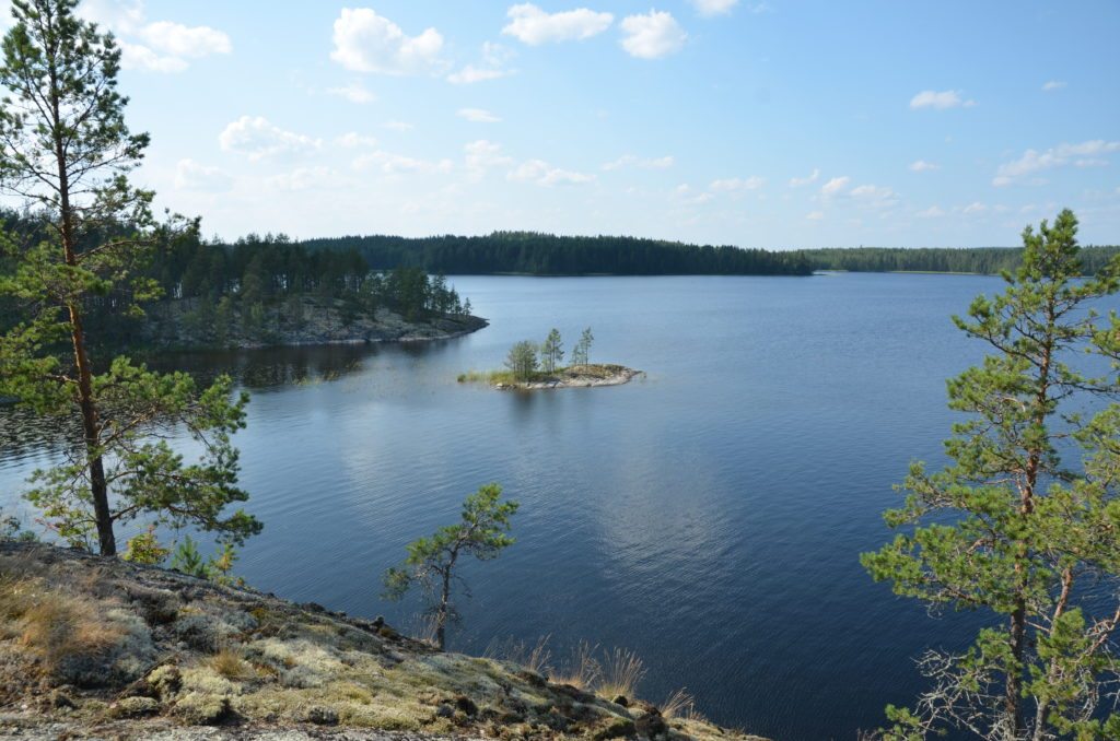
Raintsaari is an island destination, accessible by boat in summer. On the west shore of the island there is a pier for small boats, a fireplace and a toilet. Raintsaari's harbour is located on the west side of the island, on the north side of a sandy headland that stretches towards Huosiossalo. The harbour offers magnificent views to the south and north to the Luonteri backwaters. There is a pier on the shore of the harbour.
Coordinates
Geographic coordinates
61.634632624, 27.896682663
GPS-devices
x=547526,200 y=6833806,200
Address
Viisalanmäentie 783, 51780 Juva