Näe ja koe Geokohteet Rakuunamäki ancient ruins
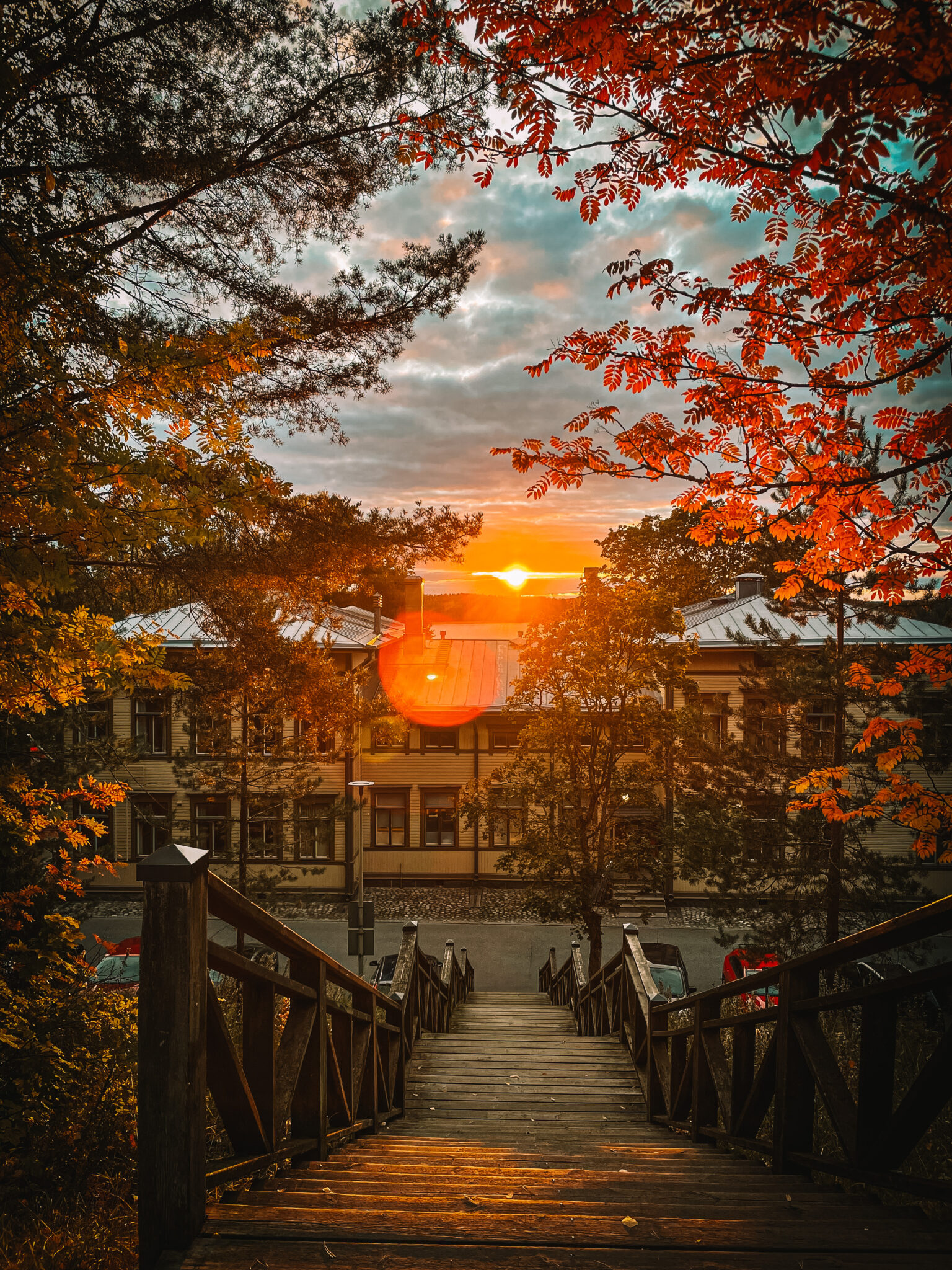
Experience the shores of Ancient Lake and the cultural buildings of the Rakuunarykmentti
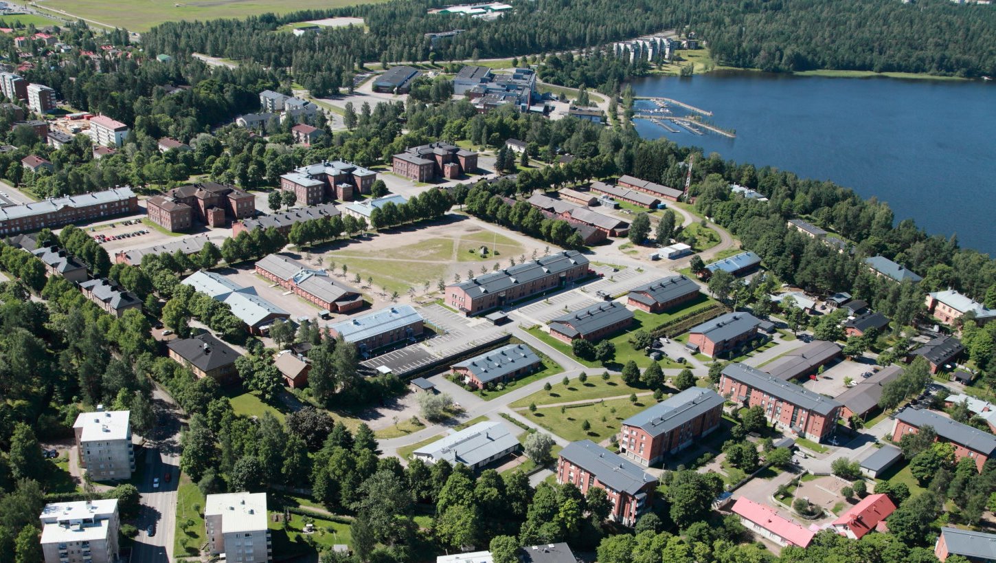
Rakuunamäki is part of the First Salpausselkä and it features an ancient shoreline from the Baltic ice lake period. The highest shoreline is at level BI (approx. 105msl) and below it is a BIII-level shoreline (approx. 95msl) where e.g. the Upseerikerho building is located. 19th century buildings add cultural value to the area, and Rakuunamäki traditionally served as accommodation for the dragoon regiment and cavalry.
Images: Veera Hakkarainen, Lappeenrannan kaupunki
Coordinates
Geographic coordinates
61.060075433, 28.174245545
GPS-devices
x=563387,714 y=6770047,321