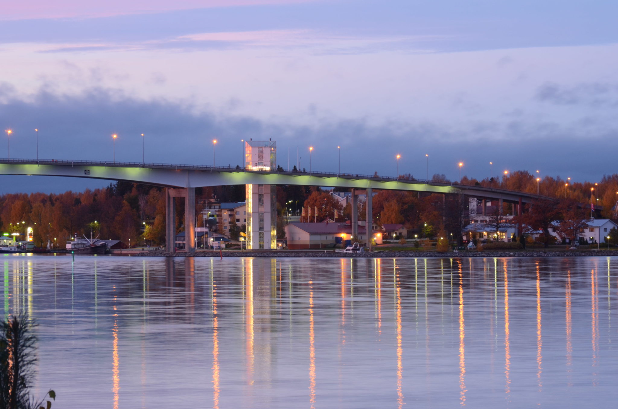
Experience Finland's fourth longest bridge
The Puumalansalmi deep channel combines the southern and northern Saimaa water routes. Log floating and freight traffic keep the waterway busy for approximately 8 months per year. At Puumalansalmi you can also see the pilots change shift, as foreign vessels must navigate Saimaa under the guidance of a local pilot. From the harbor you can take the elevator (also with a bike) to the bridge’s light traffic road and admire the views of the strait. You can also continue along the bridge to the Saimaa Seal trail. At the harbor at the foot of the bridge is a Saimaa Geopark sign, which tells about the geology of the area.
At the foot of the bridge tower is a signpost to Saimaa Geopark, which explains the geology of the area. The bridge gives a good idea of the maze-like nature of Saimaa. This is due to the presence of bedrock fracture zones, where the bedrock is more fractured than the surrounding area. During the Ice Age, the continental glacier eroded and absorbed rock from these fracture zones, making them deeper than the rest of the environment. Today, many of these fault zones are covered by water. You can also continue along the bridge to the Saimaa seal Trail.
Saimaa seal trail
The Saimaa seal trail shows Lake Saimaa’s nature and geological sites in an attractive and varied way. Along the trail you will find rugged cliffs, lovely sandy beaches and coves glistering in the summer sun. Kettle holes and ancient shore terraces add a little extra to the landscape. The entire route is 13 kilometres long but can also be done in shorter sections.
Image: Matti Vainikka
Coordinates
Geographic coordinates
61.520459100, 28.177340272
GPS-devices
x=562630,519 y=6821326,332