Näe ja koe Geokohteet Kukonharju canal
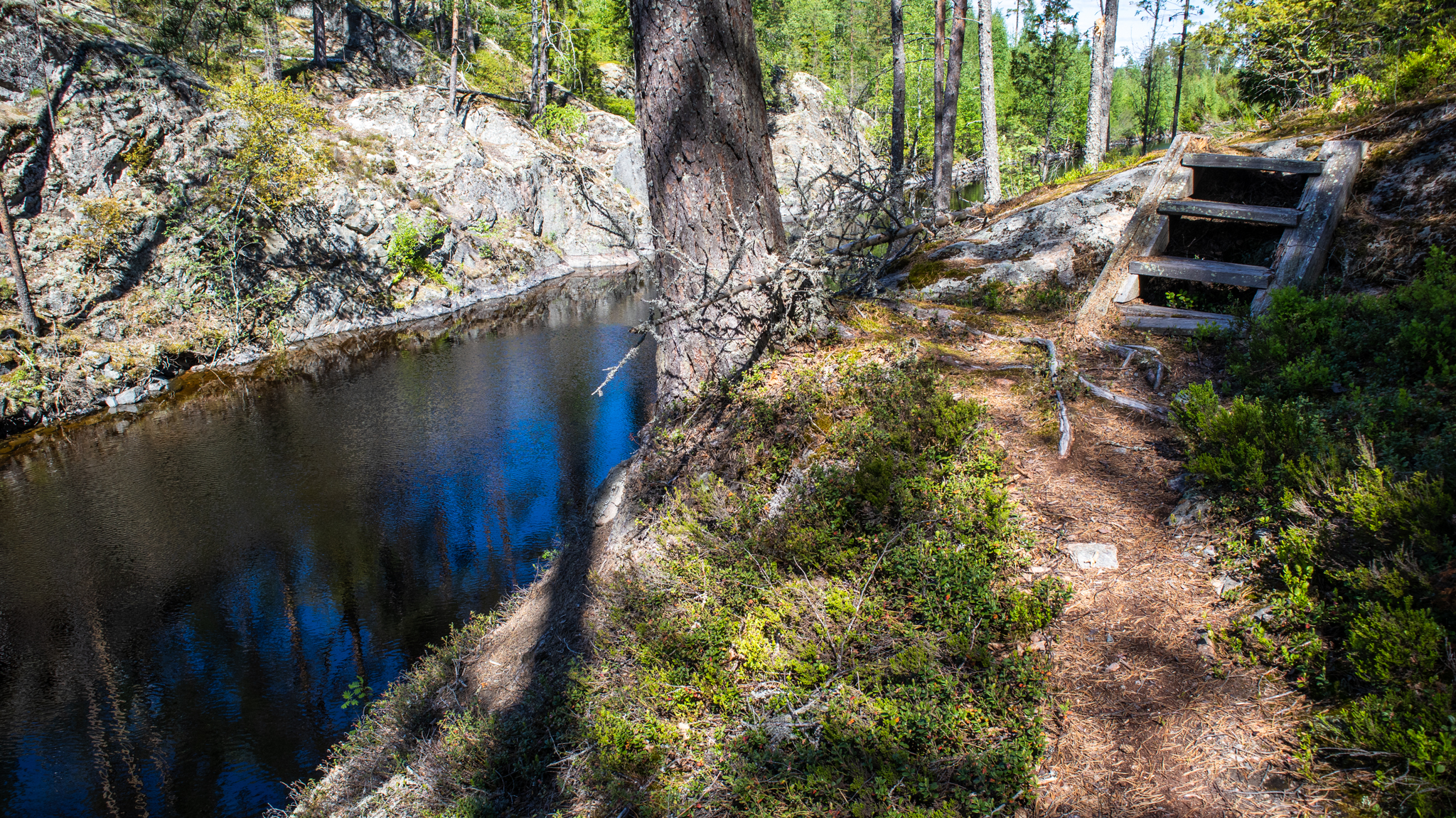
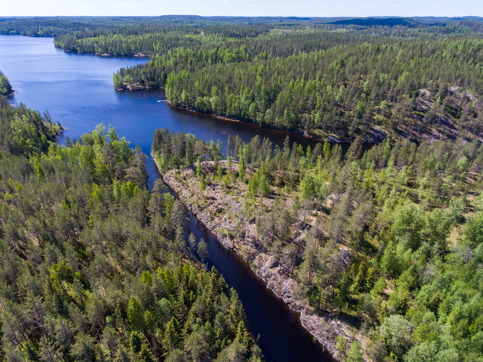
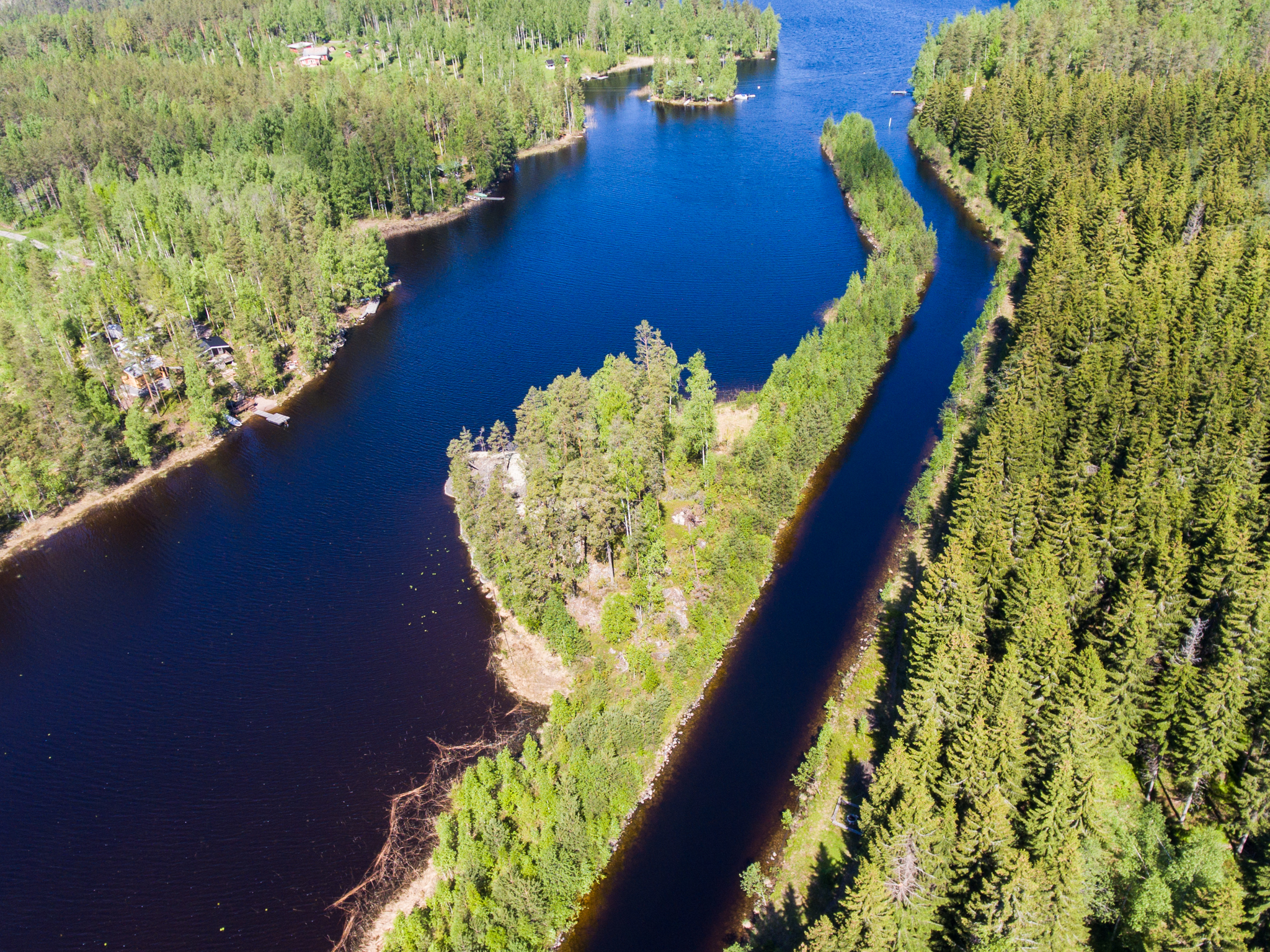
Experience a centuries old canal
The excavation works of the Kukonharju canal were organised by a famous Russian general, Aleksander Suvorov, how was between 1791-1798 tasked with using four canals to combine the badly sunken yet strategic Saimaa bays into a functioning waterway and part of the Russian system of fortifications. The Kutvele, Käyhkää, Kukonharju and Telataipale canals allowed for Russia’s Saimaa navy to pass safely between the Lappeenranta, Kärnäkoski and Olavinlinna fortifications near the border.
Images: Heli Rautanen, Veikka Liljeström, Veera Hakkarainen
Coordinates
Geographic coordinates
61.526500535, 27.909269094
GPS-devices
x=548361,400 y=6821771,000