Experience the terrain layered by the glacial river
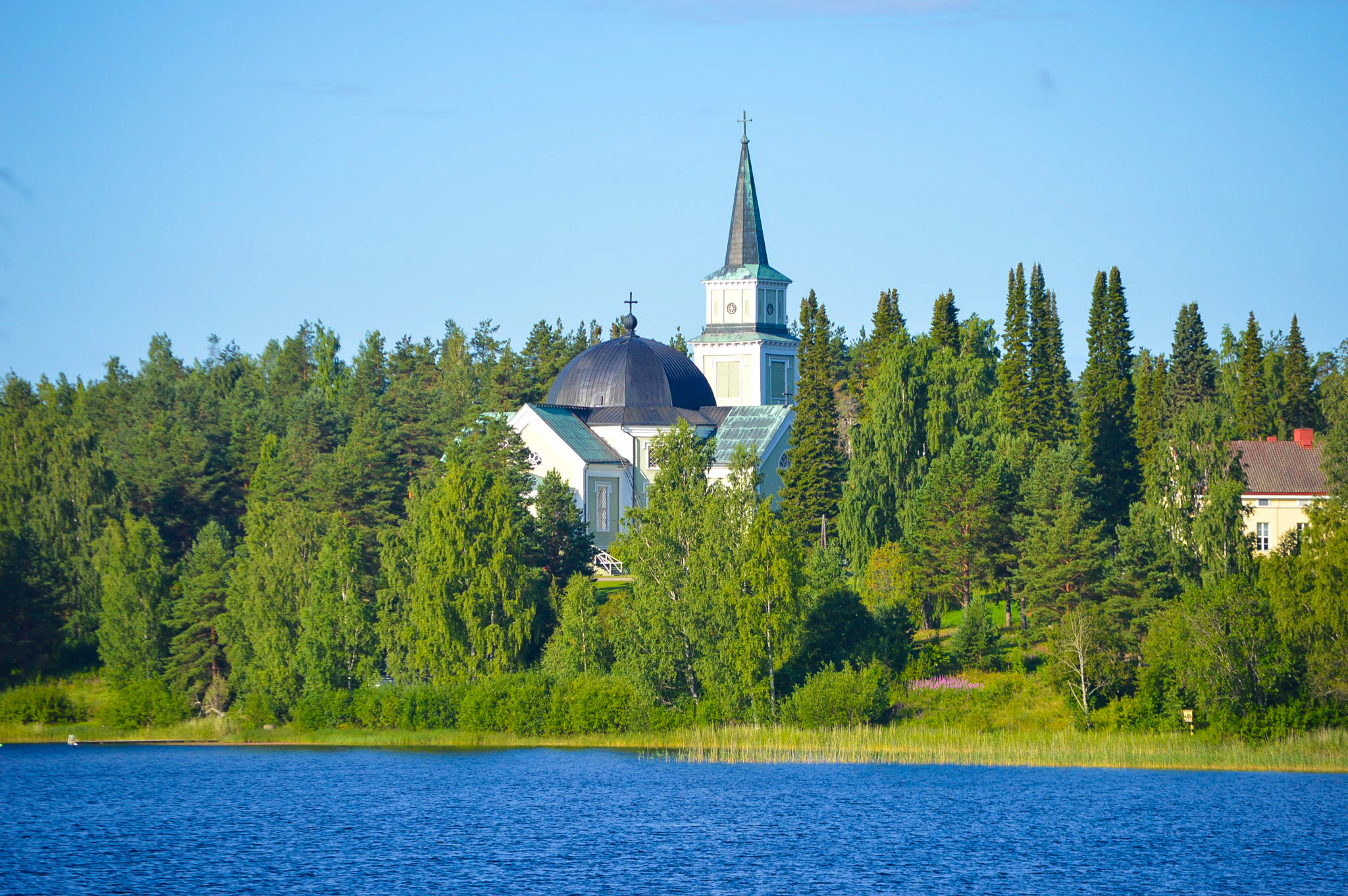
There are kettle holes on the church hill next to the museum’s parking area and along the path (Eukkojen polku, “the Eukko Trail”) around the cemetery. The Saimaa Geopark sign can be found in the parking area.
Eukkojen polku, “the Eukko Trail” is a 3 km long route that winds through the terrain of the church hill, which presents the history of the Ruokolahti church area and its special and interesting geological formations.
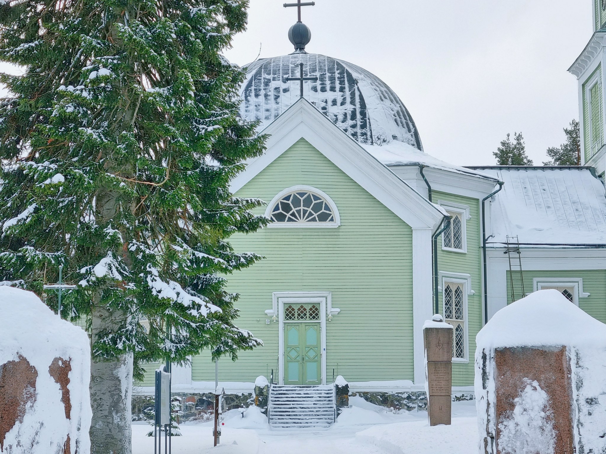
Among the most famous works of Albert Edelfelt, one of the most famous artists of the Finnish Golden Age, is ‘Women of Ruokolahti on the Church Hill’ (1887). Edelfelt sought genuine Karelian people from Ruokolahti and sketched them on the spot. However, he finished the actual work at Haikko, at the family’s summer villa, where Edelfelt had a studio. Behind the Ruokolahti church, where the women of the painting are sitting, is a monument telling us today about the Edelfelt’s visit to Ruokolahti.
Read the story Elli and Albert, inspired by the Edelfelt’s visit to the Ruokolahti and written in the Rural Explorer project (Story: Pekka Vartiainen, Translation: Annira Silver).
Image: goSaimaa
Coordinates
Geographic coordinates
61.285964017, 28.827387975
GPS-devices
x=597937,112 y=6796009,912
Address