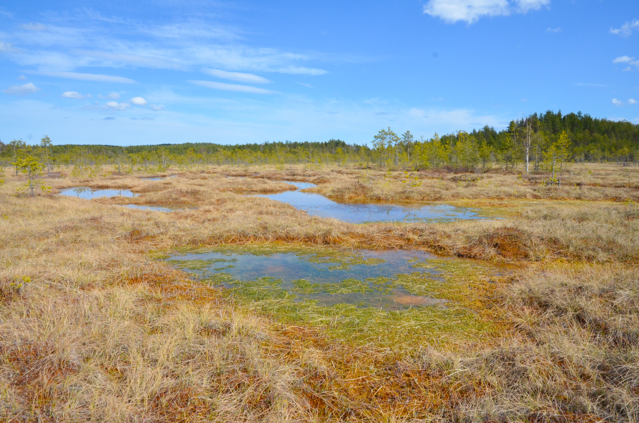
Experience the growing suurisuo bog
The surface of the Suurisuo bog is facing the west and northwest. At the northwestern edge of the bog, the depressions between the drumlin ridges that border the bog are 80-81 meters above sea level (m asl). In the western part of the bog, the lowest level is about 83-85 m asl and the highest area, 87 m asl, is found in the southeastern part of the bog. The Suurisuo is bordered on the northeast by a large flat sandy formation (92-95 m asl), which is a delta sorted and deposited by the melt waters of the glacier. The surface of the bog on the eastern side of the rocky islet, Linnansaari, is characterized by watery hollows and drier hummocks. Their shapes are elongated and tend to be perpendicular to the bog’s tilt, as is typical for this kind of swamps. The pool area of the Suolampi pond is also crossed by a few strains of peat on that same direction.
Natura 2000 -site
When the area emerged under the continental ice sheet some 11,500 years ago, it was part of the southern Saimaa ice lake, dammed in front of the ice edge. The Suurisuo isolated to form its own water area as the ice lake discharged to the Yoldia sea or the ancient Baltic sea level about 11,400 years ago, after which paludification gradually started. At the highest point of the Greater Saimaa phase 6,900-6,300 years ago (about 84 m asl), the peak of the flood increased to cover only the outskirts of the Suurisuo bog.
The Suurisuo bog is a Natura 2000 site and a Suurisuo nature reserve has been established by Government Decree.
Image: Kaisa-Maria Remes
Coordinates
Geographic coordinates
61.433614070, 28.224465351
GPS-devices
x=565318,862 y=6811699,842
