Experience the Riviera of saimaa
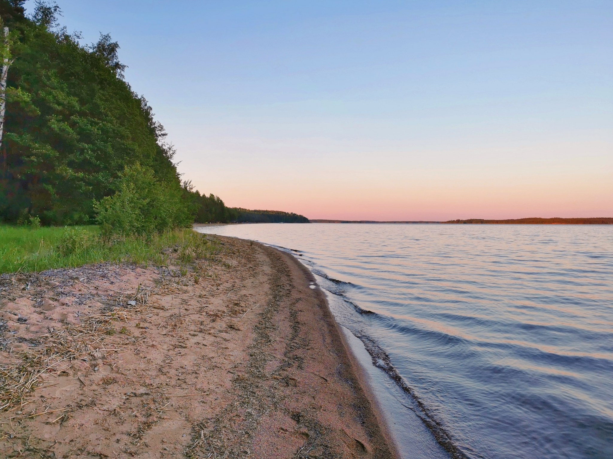
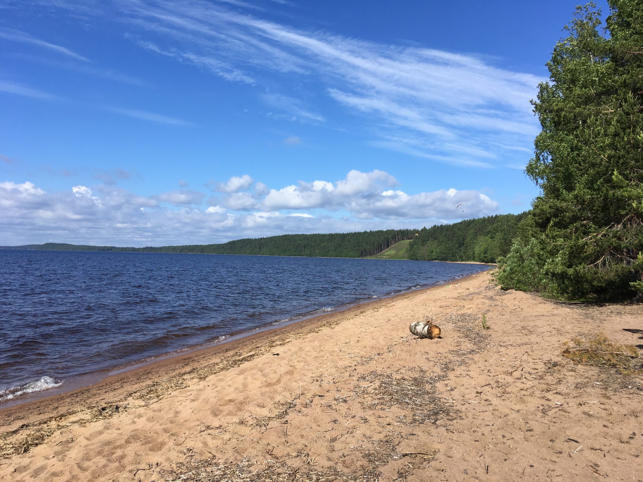
Huuhanranta is one of the longest open sandy beaches on Lake Saimaa. It has been listed as one of the country's finest sandy beaches, where people come on a summer's day even from a longer distance. Huuhanranta's 1.5 km long sandy beach has also been called Huuhanhiekta and "Saimaa Riviera". The beach is fine sand and deepens very slowly, you can wade up to 100 m from the shoreline. On the Huuhanselkä, which faces south from the beach, you can watch water traffic to and from the Kutvele canal on summer days. It is possible to drive to or at least near the shore in boats, which can drive the bow onto the beach sand, and of course in canoes.
The scorched and open southern slopes of the Huuhan beach are home to plant and animal species that can withstand drought and large temperature fluctuations. For example, the sand daisy is one of the plant species found on the ancient banks of Huuhanranta.
There is parking for cars at the top of the slope. There is no access to the beach from the P parking area, you have to walk about 200 m down to the beach. Hiking facilities are located at the western end of the slope, on a piece of land owned by the South Karelia Recreation Foundation. The site is also signposted by Saimaa Geopark.
Huuhanranta geology
On Huuhanranta, ancient riverbeds scoured by glacial meltwater can be seen in some of the beach strata. The beach is also close to the present-day Saimaa shoreline. In addition, at the south-eastern end of the beach, there is a large area of rocky outcrops of mica gneiss that have been eroded by the glacier. The cliffs are crossed by the interface between two broad rock types, mica and tonalite. Huuhanranta is part of the Kyläniemi margin formation and is characterised by several ancient shores of different evolutionary stages, namely the shores of the Baltic glacial lake (c. 105-106 m mpy), the South-Saimaa glacial lake (c. 91-92 m mpy) and Suursaimaa (c. 83 m mpy).
Image: goSaimaa
Address
Kietäväläntie 371
Coordinates
Geographic coordinates
61.335749973, 28.398017043
GPS coordinates
x=574809,516 y=6800986,523

