Experience a castle from the Iron Ages
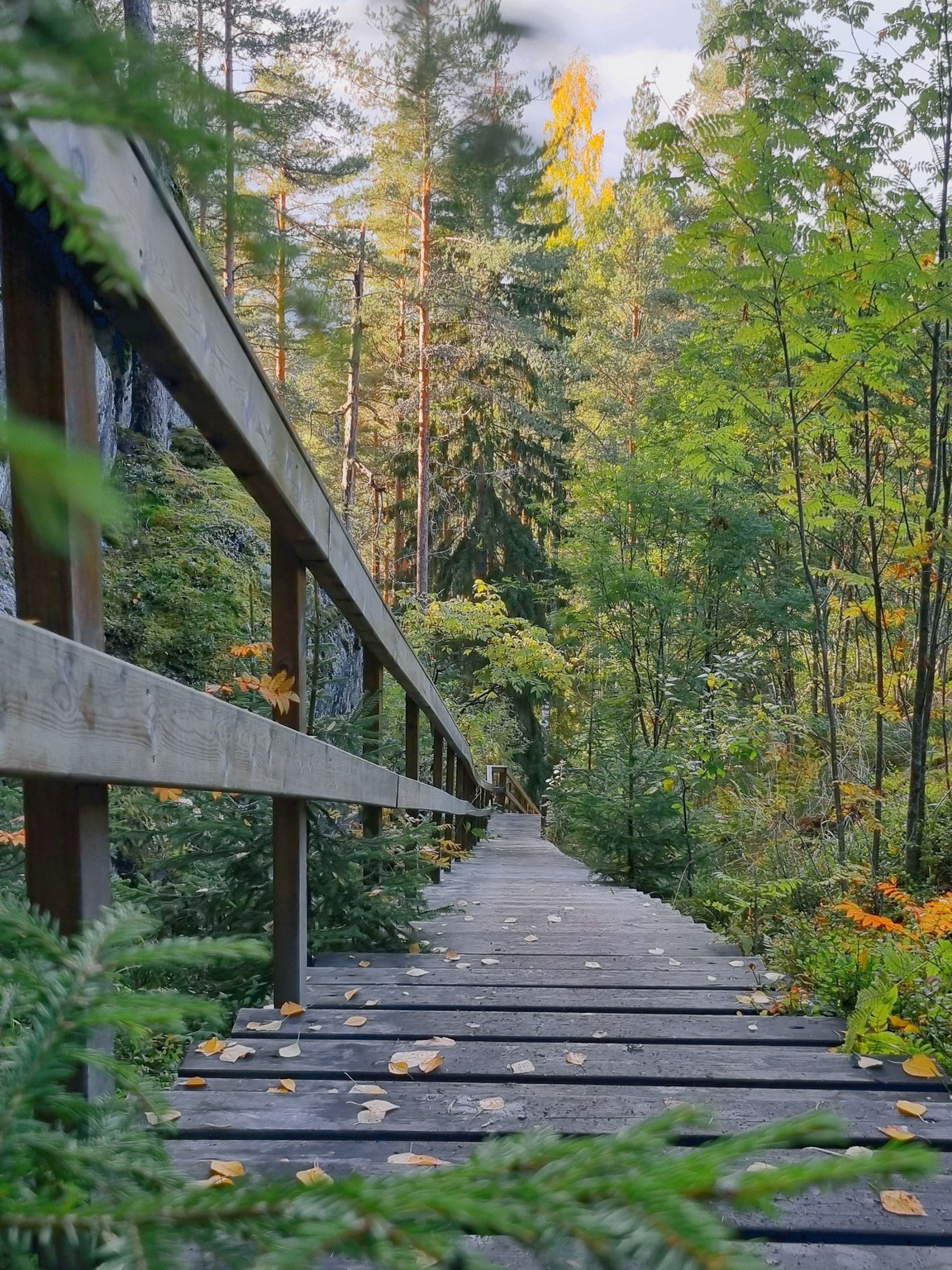
It is about 7 km from Lappeenranta harbour to Kuivaketvele hill fort and about 6.5 km from Taipalsaari town center, so you can even cycle by bike to the destination. At the foot of the hill fort there is a parking area with a Saimaa Geopark sign. Another smaller sign can be found on the railing of the stairs to the hill fort.
A defensive bulwark was built along the hill fort’s gently sloping south side, of which only a 40m-stretch of stone bulwark remains, acting as the foundation for a log structure. Paths lead from the hill fort’s observation deck towards the bulwark, which is around 120m away.
Hill Fort geology
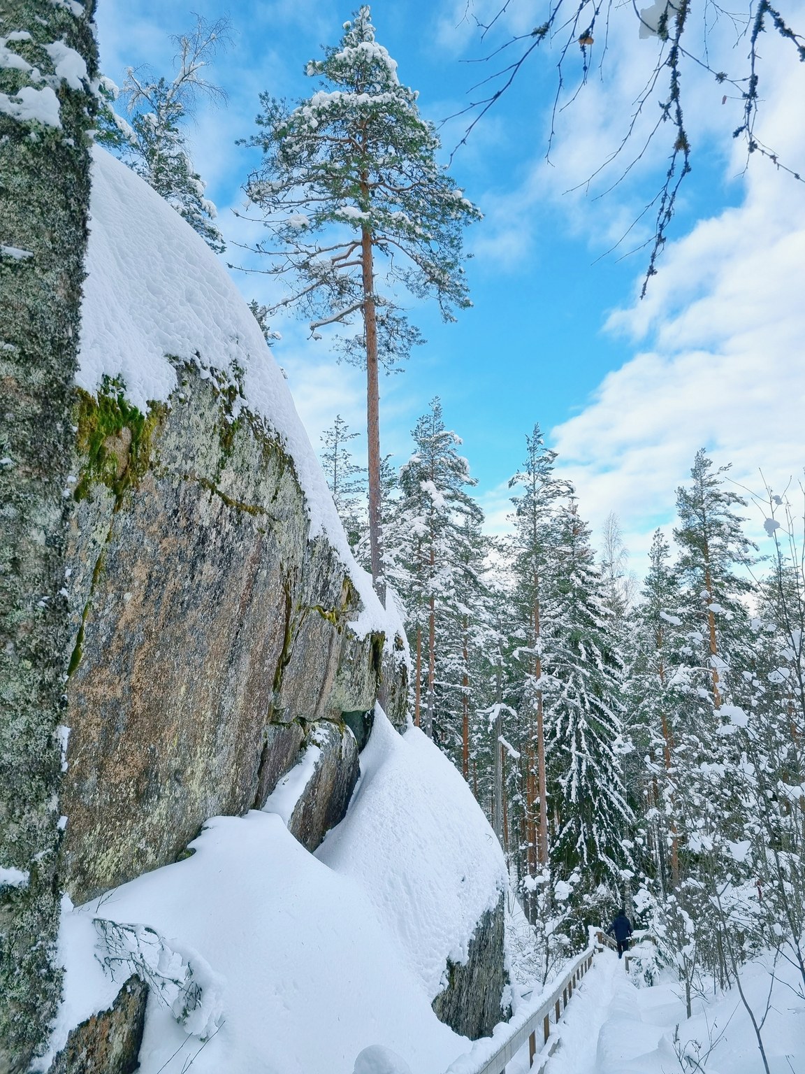
The Kuivaketvele hill fort is an approximately 600m long, 80-100m wide and up to 20m high rock drumlin with a rapakivi granite core. The northern part of the hill fort is surrounded on three sides by a scarp that is, on average, 10m high, vertically sheer in some places and stepped in others. There is a rock wall around 40m long on the upper part of the gently sloping south side and, together with the scarps, it forms a border around a protected area approximately one hectare in size. Preliminary archaeological studies indicate that the fort was in use in the Iron Age.
Image: goSaimaa
Address
Linnavuorentie 45, 53950 Taipalsaari
Coordinates
61.11064090864206, 28.11298353336319

