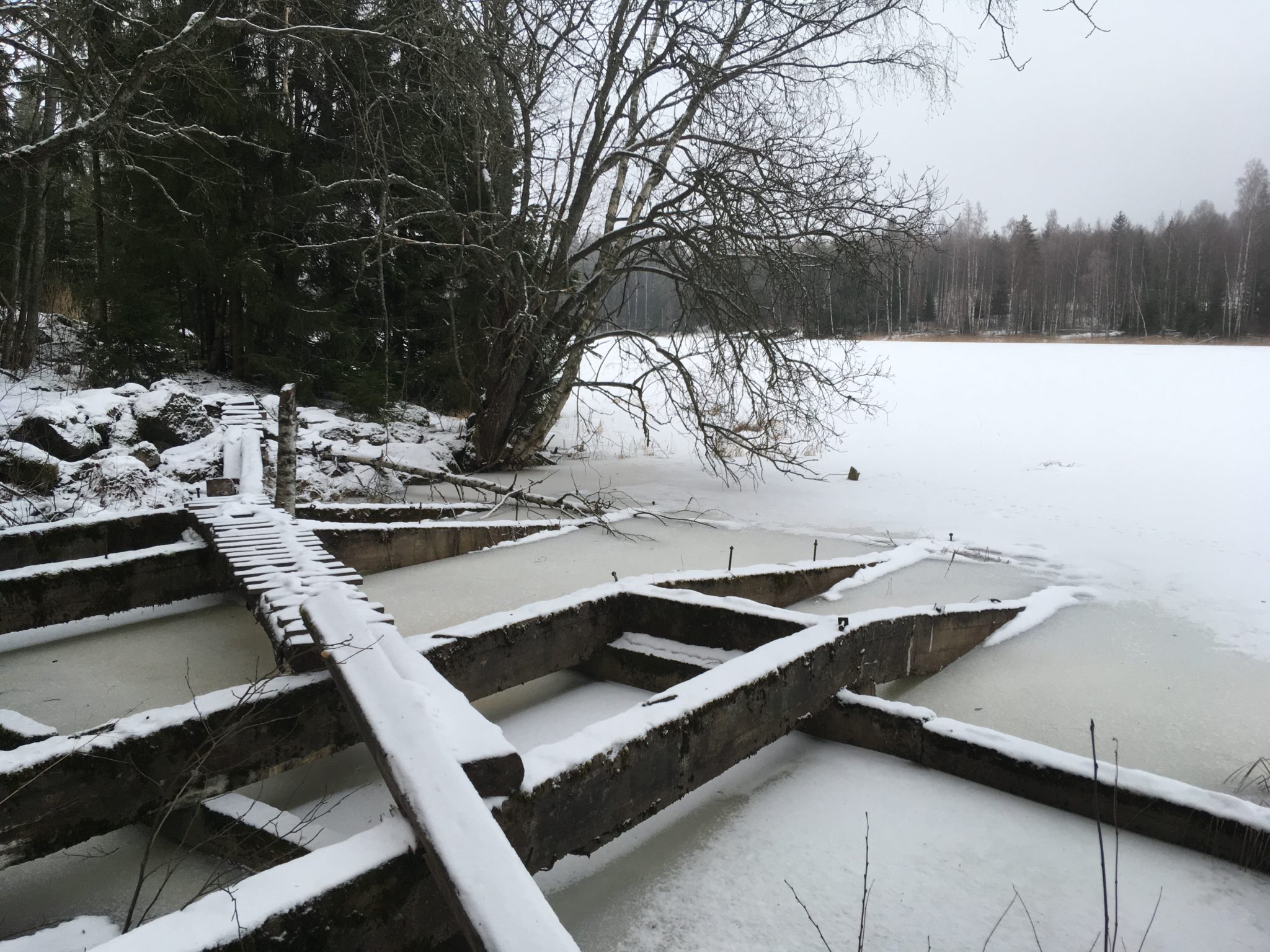
A major employer at the turn of the 20th century
The overflow facility allowed logs to be transported across the land between Myllylammi and Kärjenlammi. In total, almost 100 million logs were transported through Rutola by 1963, and the floating operation employed up to 1,000 people a year at most.
The approximately 110 km long dredging route from the Saimaa to the Kymijoki River, along which the Rutola crossing is located, is known as the Valkeala dredging route or intermediate route. The route follows the course of the ancient Saimaa estuary through Myllylammi, Kärjenlammi and Jänköjärvi to Kivijärvi. The Rutola area also contains prehistoric settlements and fortifications, such as a concrete cave, and armoured-rocks belonging to the Salpalinja, a defensive line built during the Second World War.
The Rutola overpass is a built cultural environment of national importance.
Myllylampi is a geosite of the Saimaa Geopark.
Coordinates
Geographic coordinates
61.037843483, 28.032193160
GPS-devices
x= 555759 y= 6767442
Address
Vanha Mikkelintie 250, 53830 Lappeenranta
