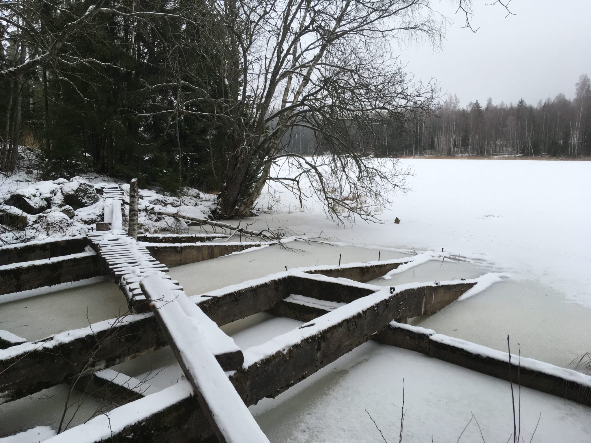
A major employer at the turn of the 20th century
The approximately 110 km long log-floating route from Saimaa to Kymijoki, along which the Rutola logging station is located, is called the Valkeala route or Väliväylä. The route follows the passage of the ancient Saimaa’s outlet channel through Myllylampi, Kärjenlampi and Jänköjärvi to Kivijärvi. The Rutola area also has prehistoric settlements and fortifications belonging to the Salpa Line, a line of defense built during the Second World War, such as a concrete cave, and anti-tank defense boulders.
The Rutola old log-floating station is a nationally significant built cultural environment. More information about Rutola's surroundings can be found on the Finnish Heritage Agency’s website (in Finnish).
Image: Saimaa Geopark
Coordinates
Geographic coordinates
61.037843483, 28.032193160
GPS-devices
x= 555759 y= 6767442
