Experience the ice-marginal formation shaped by millennia
Eskers and ice-marginal formations that emerged after the ice melted formed an important route for many plants and animals to spread along. Spring pasqueflower and Sand pink were among the first to cover the land after the ice age. These protected species are still part of the flora at the Second Salpausselkä.
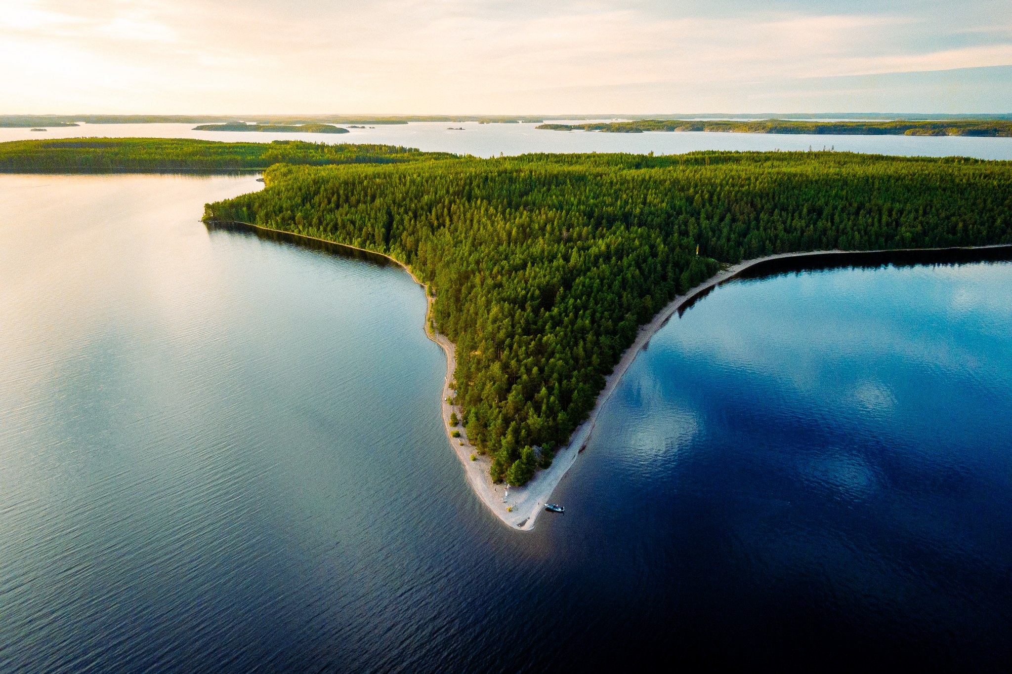
There is a Geopark sign on the shore of Kyläniemi ferry, which tells about the geology of the area. The tip of the Kyläniemie, Rastinniemi, is also a Saimaa Geopark site. The Kyläniemi ferry is about 19 km from the intersection of Puumalantie and Utulantie roads. Along the way there is a small shop and a café in the village of Utula. The ferry is about 11 km from the intersection of Rastinniementie road. If you drive along Kyläniementie you will end up in the fishing port of Kyläniemi. The Kutvele canal, which cuts off the Kyläniemi ice-marginal formation, is one of the canals built by General Suvorov in the late 18th century.
Image: goSaimaa
Coordinates
Geographic coordinates
61.325684760, 28.342337749
GPS-devices
x=571853,400 y=6799803,000