Vilkaharju esker terrain, beautiful nature experience
Vilkaharju is a longitudinal esker deposited by subglacial tunnel stream. Vilkaharju`s sheer southern areas open up into beautiful lakeland scenery, while its northern parts are surrounded by moraine fields dotted by kettles. The area emerged from underneath the continental ice sheet around 11,400 years ago. Back then the edge of the ice sheet was lapped by the waters of the dammed Saimaa ice lake which discharged into the level of the Yoldia Sea, predecessor of the Baltic Sea. The Greater Saimaa shorelines in the Vilkaharju area are at around 85msl.
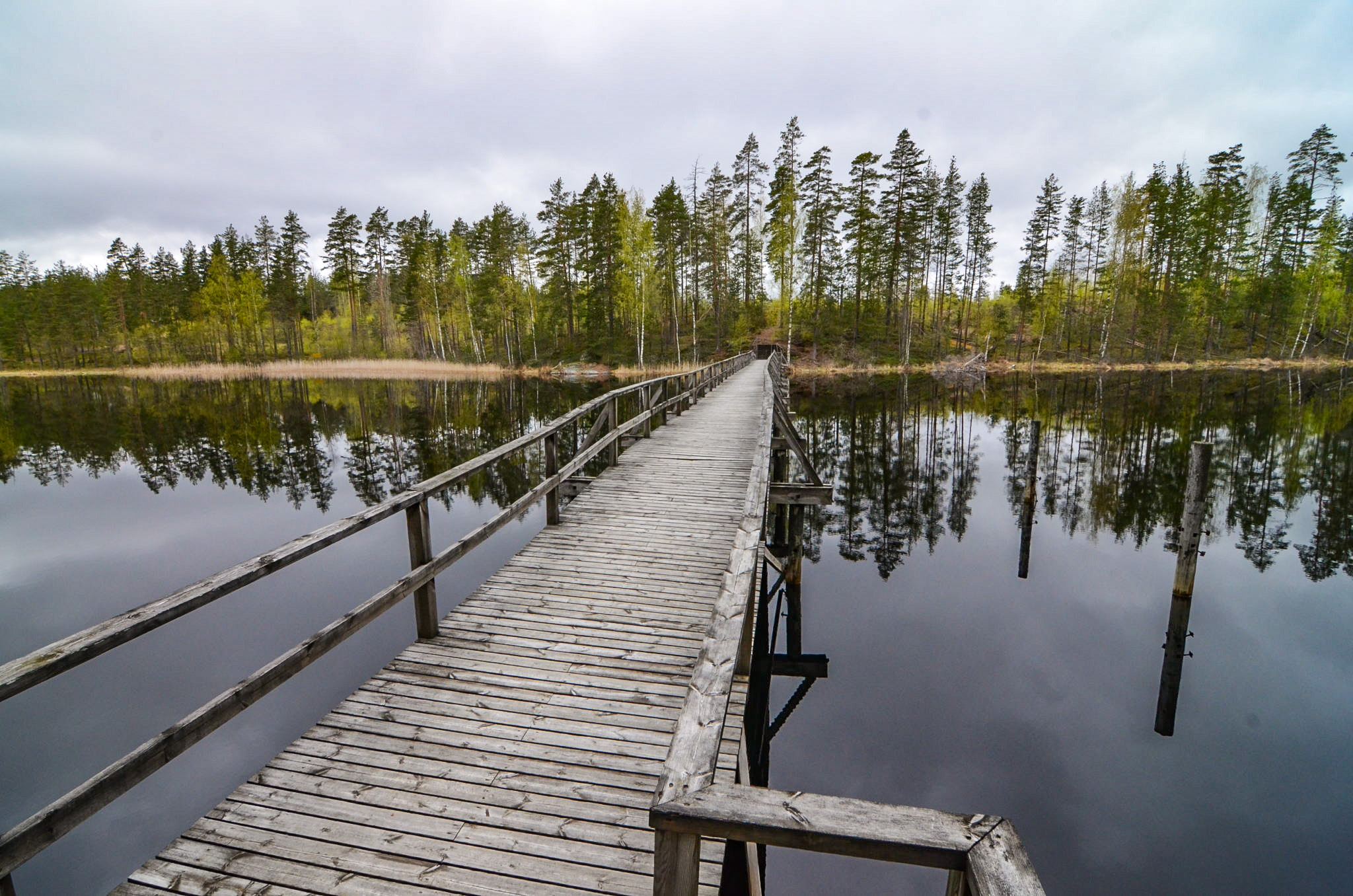
There is a two-part nature trail, marked in yellow, in the Vilkaharju area which leads past a Stone-Age dwelling site, rocky outcrops, erratic boulder and WWII anti-tank defences which are part of the Salpa Line. The Vilkaharju nature trail can also be reached from the municipal center of Sulkava. The connecting path starts along the Kuumienkivientie road, close to the apartment building. It is marked with red and yellow dots.
Coordinates
Geographic coordinates
61.787164622, 28.425178749
GPS-devices
x=575162,919 y=6851294,252
Address
Vekarantie 250, 58700 Sulkava