Experience the rare underwater sandbar
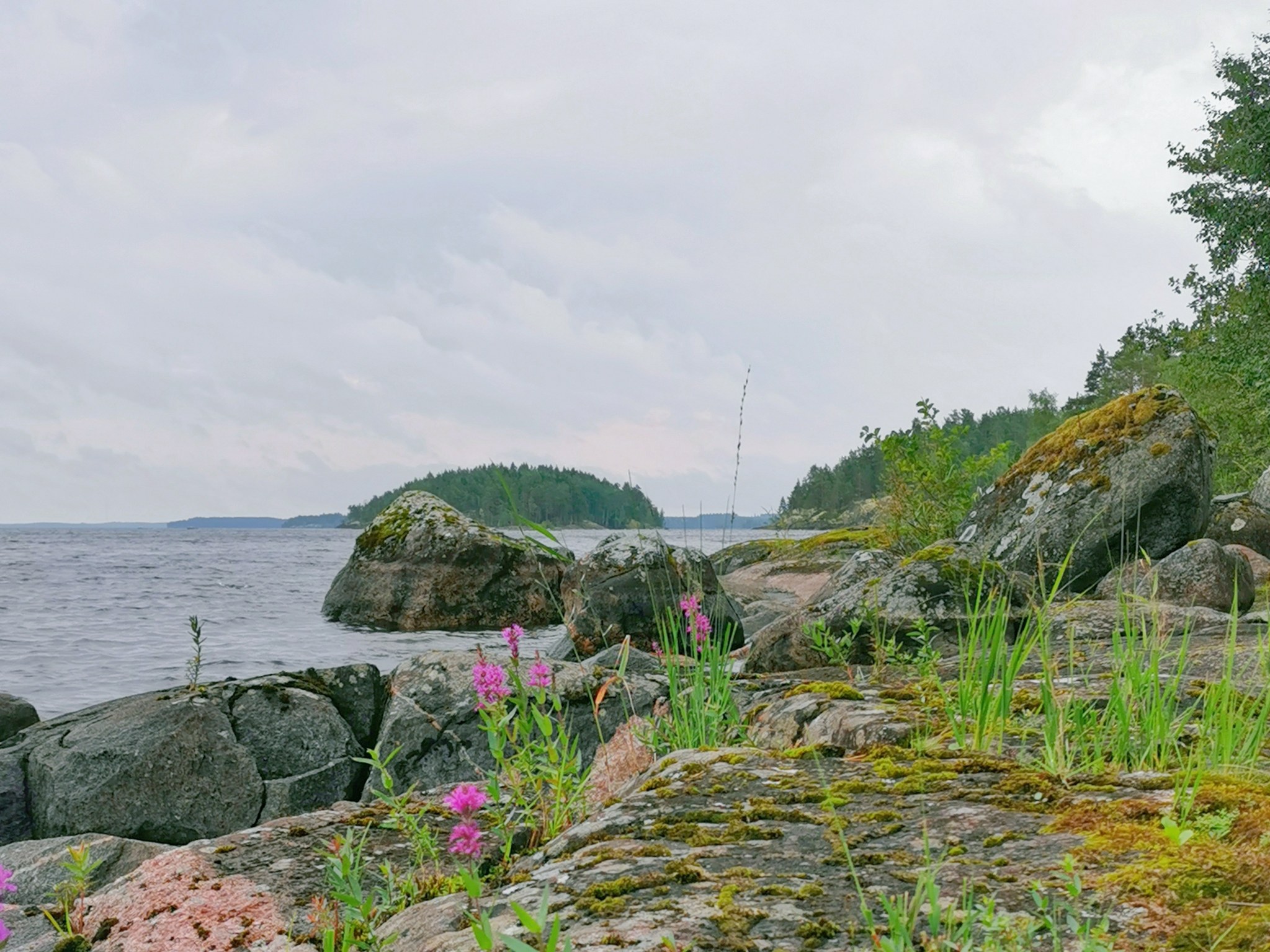
The Ilkonsaari island consists of two rocky ridges running southeast-northwest which are connected by a soil area formed through deposition by waves. The soil area was formed in a bedrock fracture zone weathered deeper than the surrounding environment. The outcrops in the rocky areas of Ilkonsaari represent several different kinds of rock types, such as granodiorite, dike breccia, tonalite, and granite.
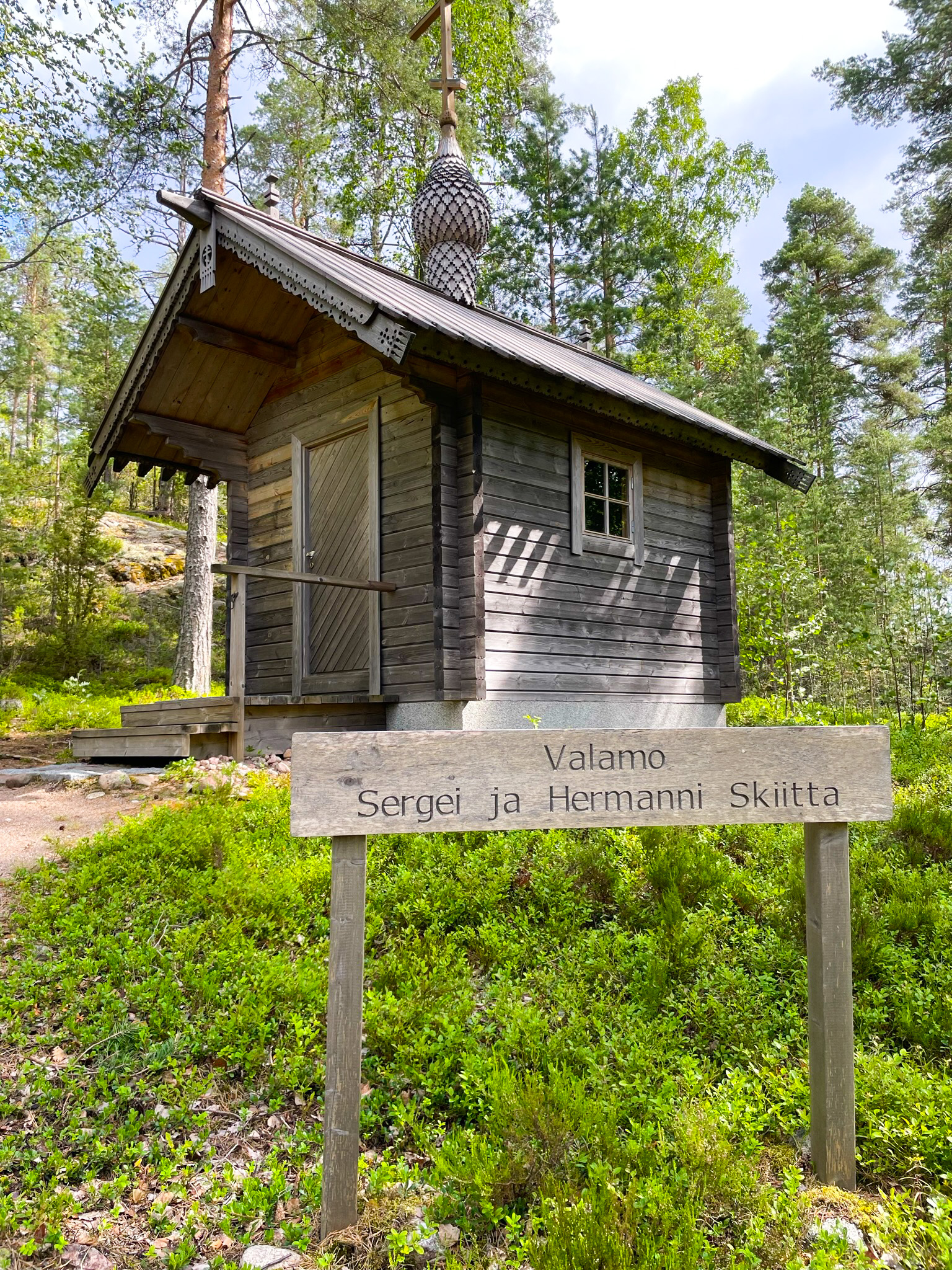
A rather rare, 300-metre long underwater sandbar is also connected to the island and can be admired from nearby rocks. The formation of the sandbar is presumed to have begun before Greater Saimaa reached its maximum phase, when the water surface was still below the current level. Several orthodox tsasounas built on the island add cultural value. Ilkonsaari has two Saimaa Geopark signs near the boat docks.
Great camping destination
The path leading from the end to the end of Ilkonsaari has been made as accessible as possible - there are a couple of demanding ascents/descents on the path due to the terrain. Along the trail, you will find five tsasounas, representing the tradition of the Orthodox Church from Greece north to the Norwegian border.
At the southern end of Ilkonsaari there is a pier where you can moor a large boat. On the other side of the pier are buoys for boats. On the eastern shore of the island is the so-called Särkänsatja, where the depth at the pier is less than 1 m at low tide. Canoes can be taken to the sandy beaches at the central or northern end of the island.
Ilkonsaari is one of the destinations in the From Ancient Sea to Saimaa trail.
Image: Veera Hakkarainen, goSaimaa
Coordinates
Geographic coordinates
61.209997390, 28.296689842
GPS-devices
x=569665,900 y=6786869,100
