traces of the ice age - stone age people
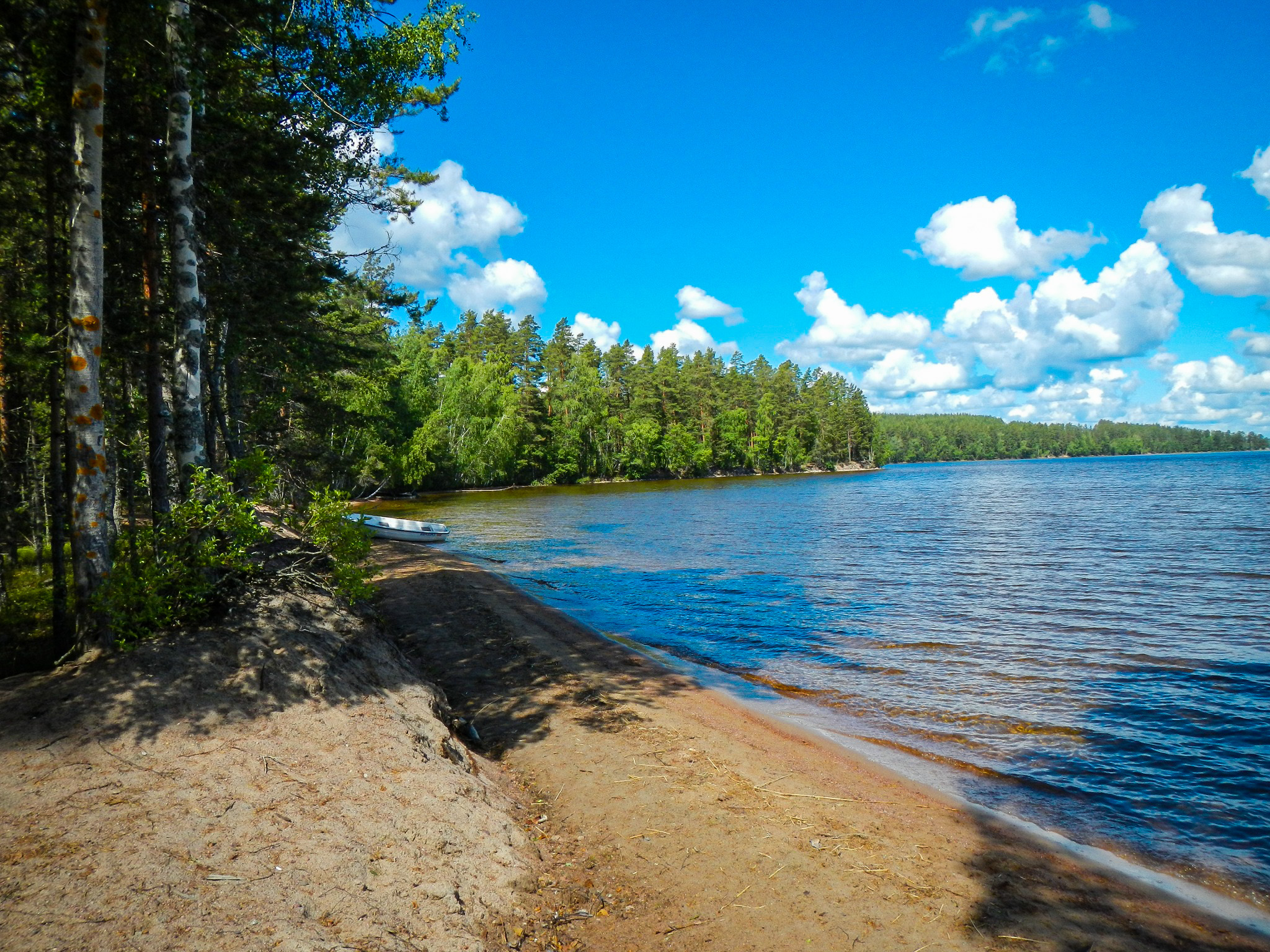
A marked nature trail takes you around the area, exploring the traces of the Ice Age, the life of Stone Age people and walking beside the clear water of Lake Kuolimo. The trail also takes you to the Lepänkanto recreation area and its long sandy beach. Lepänkanto is a site of the South Karelia Recreation Area Foundation.
Lepänkanto geology
The Lepänkanto landscape is dominated by deltas dotted with kettles, high esker ridges and beach ridges and shore walls. There is also a nature path in the area which provides information about the traces of ice age and human life during the Stone Age. The path also runs along Lake Kuolimo, which used to be a part of Saimaa and which is home to char and fourhorn sculpin, both relics from the ice age. Nowadays Kuolimo connects to Saimaa via Partakoski and Kärnänkoski.
The Lepänkanto area is owned by the Duodecim Medical Society, from which the South Karelia Recreation Foundation has leased about 5 ha of beach area. The Lepänkanto recreation area is maintained by the Savitaipaleen Youth Support Association.
A signpost in the parking lot of the Lepänkanto recreation area gives more information about the geology of the area and the trail "Traces of the Ice Age - Stone Age Man". Lepänkato is also an excursion destination for the South Karelia Recreation Foundation.
ATTENTION! You can’t drive a car to Rovastinoja through Pyhä-Paulantie -road! The road is private.
Image: Outdoors Finland
Coordinates
Geographic coordinates
61.208290409, 27.608907719
GPS-devices
x=532717,086 y=6786140,401
Address
