Experience the scenery of the observation tower
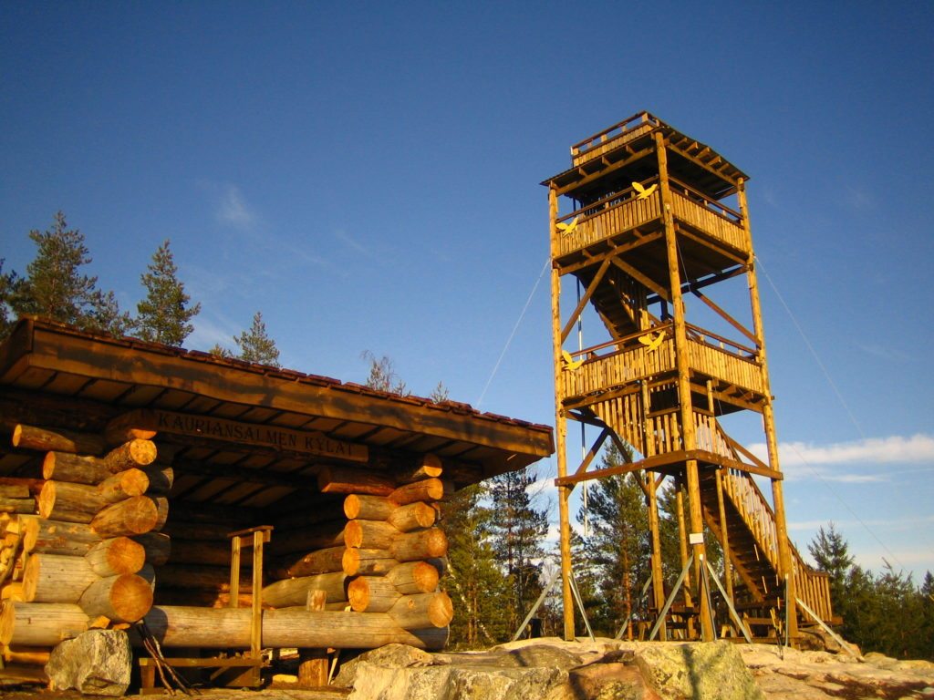
The Kauriansalmi observation tower was built on the highest point in Suomenniemi (now part of Mikkeli). The tower is 14 m high and the granite rock on which it stands rises 137.4 m above sea level. The level of Lake Kuolimo is 70 m below the top of the tower. From the tower, you can admire a landscape fragmented by water bodies, the features of which reflect the great zones of weakness in the bedrock. These zones have been eroded into valleys during the ice ages, as the glaciers repeatedly flowed over the area, clearing the weak zones of loose rock.
Geology
The base of the tower is an area of rock carved by the glacier, with various shapes and structures visible on the surface. The main rock type in the outcrop is granite, which is our national stone, with reddish areas of pegmatite, which is much coarser than the other rocks. In addition, darker angular areas are visible on the rock surfaces. These are remnants/parts of the older bedrock of the main rock type in the outcrop.
Observation tower
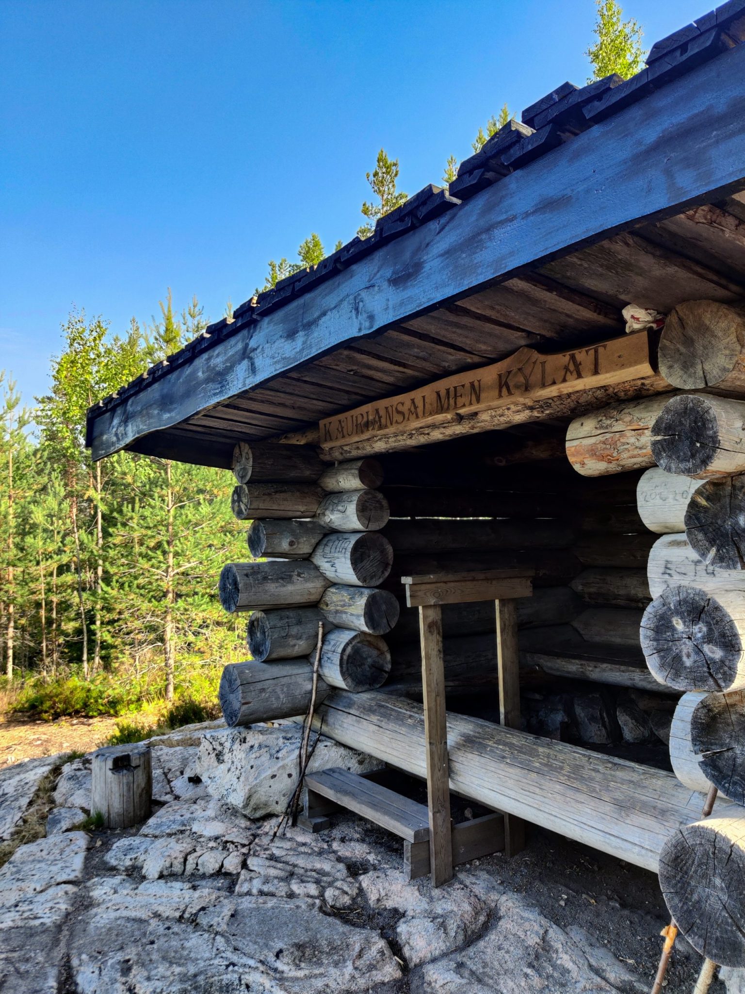
The Kauriansalmi observation tower is located at the junction of three nature trails. On the nature trails you can exercise, explore the area's nature and relax in a varied environment. The Hietakankaantien trail is 1.7 km long. The Suojavedentien is 2.8 km long and the Haukilahdentien 5.2 km long. Along the loop of the Suojavedentien there is a track for practising the type tasks of the forestry skills competition. From the Haukilahdentie loop you can access the short Power Trail.
Image: Kauriansalmi village association
Coordinates
Geographic coordinates
61.359850914, 27.420856070
GPS-devices
x= 522504,289 y= 6802942,791
Address
Painalluksenmäki, Kirkonkyläntie 433, Suomenniemi

