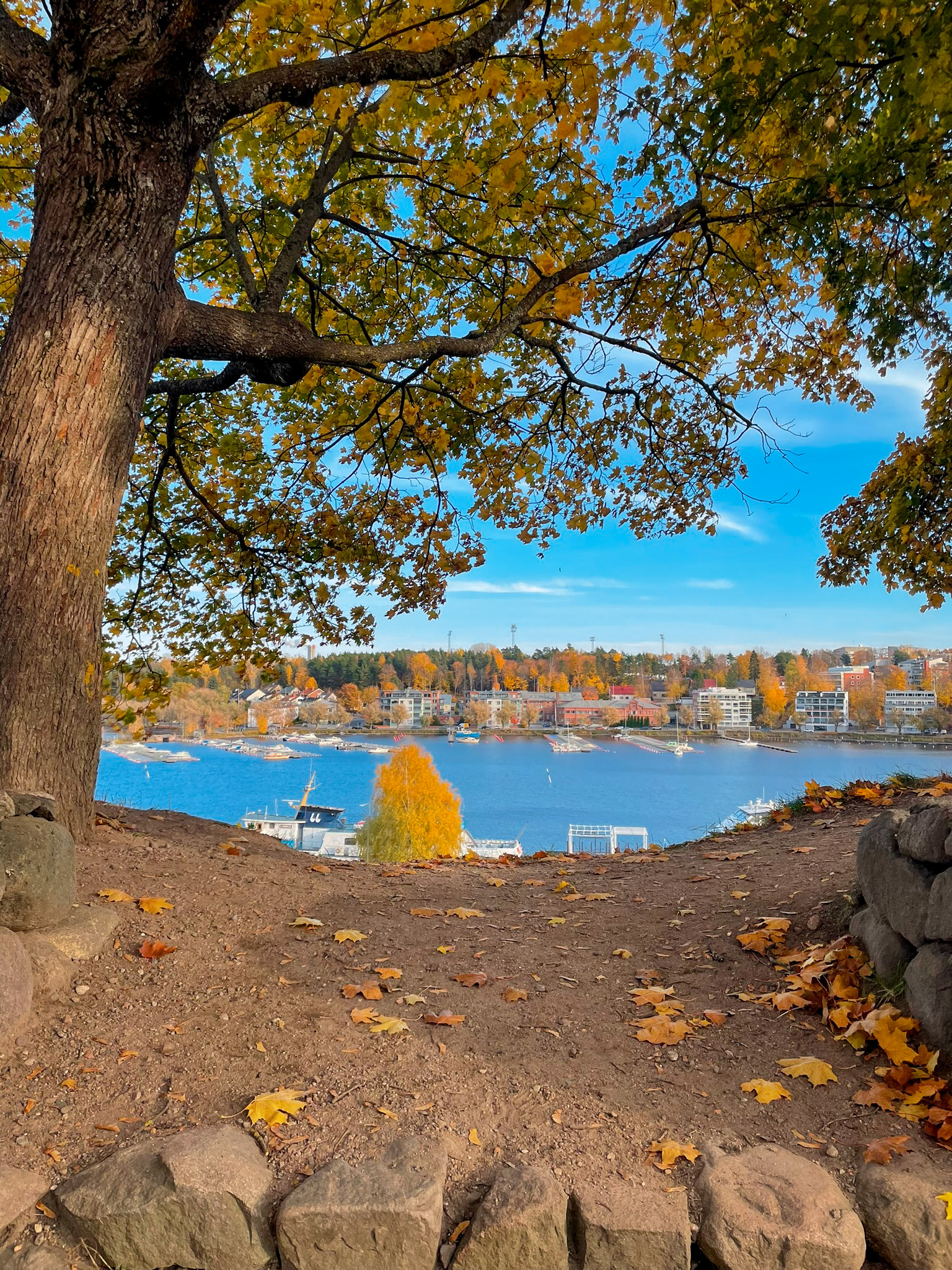
Experience the culture and geology of downtown Lappeenranta
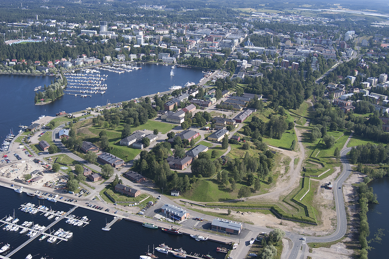
Founded in 1649, Lappeenranta was the centre of the Finnish tar trade and a lively marketplace. The peninsula, which juts out into the Saimaa, was attractive from a transport and strategic point of view. The city was fortified by the Swedes in the 1720s. When Vyborg was lost to Russia, Lappeenranta became an important border town for the Swedes. When the border moved to the Kymijoki River, the fortifications were taken over by the Russians.
The construction of the Fortress on the First Salpausselkä’s ice-marginal formation began in the 1720s and the old building where the South Karelia Museum is situated was constructed almost entirely from limestone boulders from nearby Ihalainen quarry. Boulders feature e.g. wollastonite lines. At the harbour you will find the Saimaa Geopark sign, which tells you about the geology of the area.
Culture and events
Lappeenranta Fortress is a popular tourist destination. The fortress houses museums, an orthodox church and craftsmen's workshops. The buildings of the fortress date mainly from the Russian rule, from the 1700s to the 1800s.
A nature and culture trail runs around the fortress. The route is about 1.8 km long and has 11 signposts. The panels provide information on the architectural and cultural history of the area and its distinctive vegetation. Lappeenranta's museums also offer mobile tours of the Fortress area. Explore the area on your own mobile device
Image: Veera Hakkarainen, Lappeenrannan kaupunki
Coordinates
Geographic coordinates
61.066707395, 28.182655120
GPS-devices
x=563828,298 y=6770794,114
Address
Kristiinankatu 3-5, 53900 Lappeenranta

