Experience the beaches of Rastinniemi
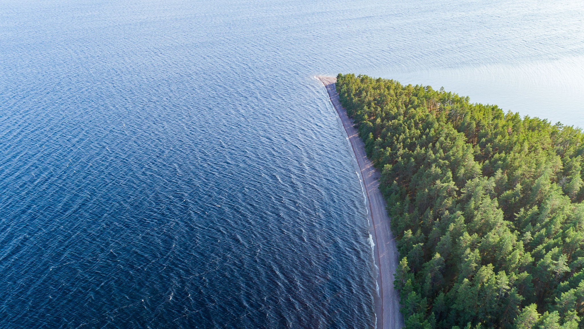
The Rastinniemi recreation area at the tip of the village green is a spectacular of the Second Salpausselkä ice marginal formation. The area contains beach markers at different altitudes and under different times - the uppermost beach in Rastinniemi was formed at the end of the Baltic Ice Lake and is now 105 m mpy. Below the highest shore, there are 3-4 m high shore boulders formed during the Saimaa Ice Lake at about 92 m mpy. In addition, the area is rich in shore boulders and rolls (82-83 m mpy) formed during the Great Lake period. On the western side of the tip of Rastinniemi there is a spectacular erosion bump up to 20 m high.
In Rastinniemi, even a non-boat hiker can get into the middle of Lake Saimaa and experience the fresh atmosphere of the lake nature. From Ruokolahti there is a connection to Kyläniemi and from the ferry to Rastinniemi it is still a short distance. 15km from the lake. Rastinniemi has two barbecue shelters, but no pier. You can drive your boat ashore on the east or west shore depending on the wind.
Cars must be left in the parking area, no motor vehicles are allowed down to the peninsula. There is no winter maintenance on the site, so maintenance is concentrated between May and September.
Image: Arto Apila
Coordinates
Geographic coordinates
61.281230071, 28.116304947
GPS-devices
x=559839,729 y=6794623,939
Address
Rastinniemi, 56350 Taipalsaari
(You can get to Kyläniemi by road via Utula in Ruokolahti, across the Kutveleen canal by ferry. The road to Rastinniemi turns just before the road ends at Kyläniemi fishing harbour. About 3 km on a sand road, follow the signs to Rastiniemi.)

