Geopark info Region Ruokolahti
A RURAL ARCHIPELAGO
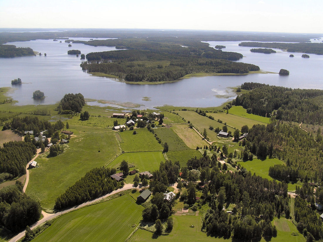
The municipality and parish of Ruokolahti were founded over 440 years ago. Ruokolahti is located in the middle of South Karelia, in the province of Southern Finland, on the shores of Lake Saimaa. The municipality covers an area of 1220 km2 (943 km2 of land and 276 km2 of water).
Ruokolahti is a rural archipelago, because in addition to Lake Saimaa, the municipality has more than 500 lakes and ponds. The magnificent nature has attracted tourists and the municipality has more than 3000 holiday homes. The municipality has a permanent population of around 5,400. The inhabitants are spread over 90 villages in 21 village councils. The central settlement is called Rasila, which also includes Salosaari. The township is bisected by Lake Hapavesi on Lake Saimaa.
B&B Hiitolanjoki
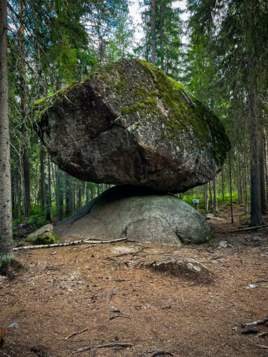
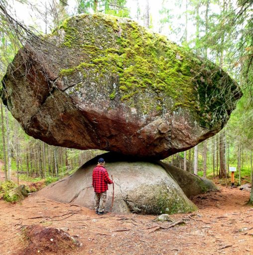
Kummakivi erratic boulder
Ruokolahti church hill and major fault zone
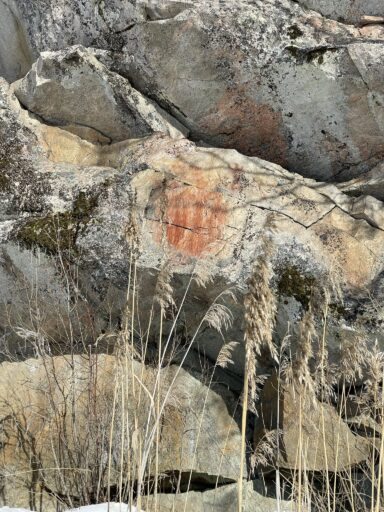
Kolmiköytinen rock painting
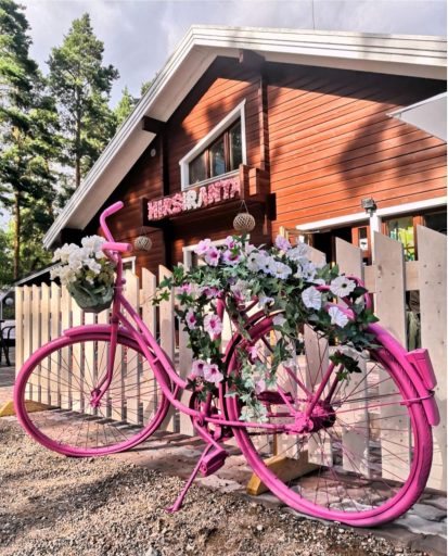
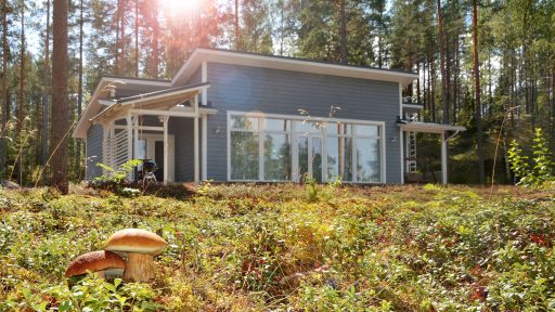
Hotel Hirsiranta
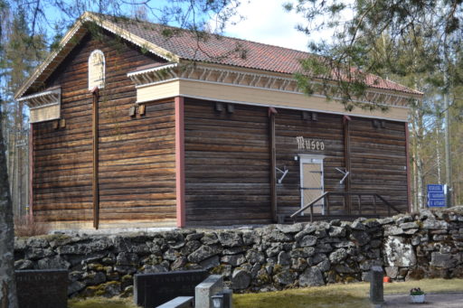
Ruokolahti local history museum
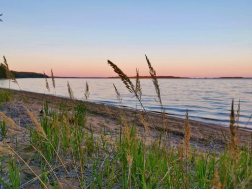
Huuhanranta shore formations

Utula landscape area
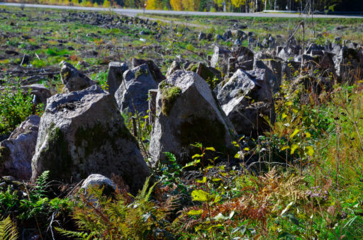
Salpa Line stone defences at Syyspohja
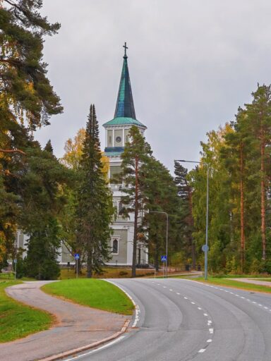
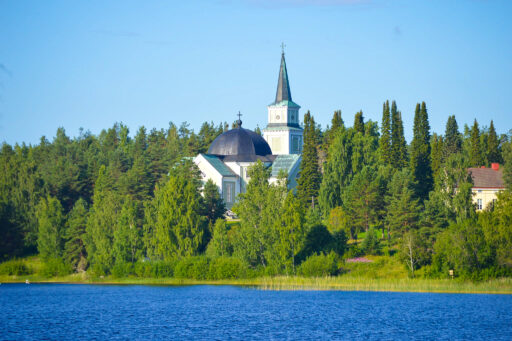
Ruokolahti church

Koskenkulman Hunaja
CreativeKaiku