Experience the rapids of Vuoksi
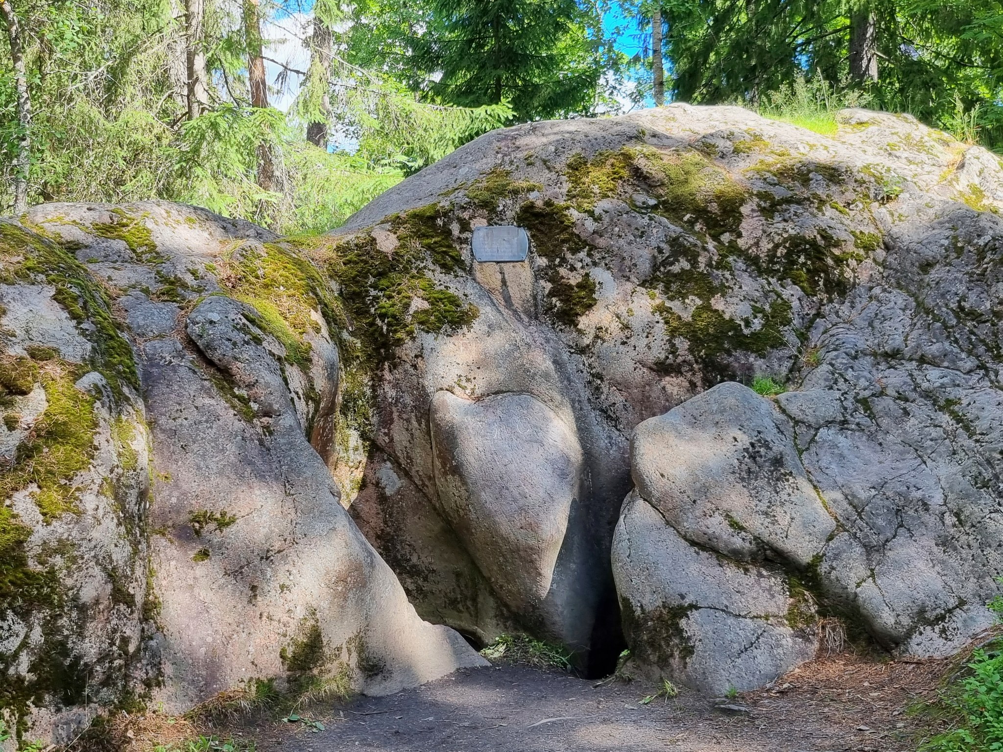
The eastern side of the Imatra rapids channel is steep and its lower section is more worn, because the flowing water eroded the schistose mica gneiss more than the resistant granite above it. The western edge of the channel on the other hand is a gentler slope and descends into the channel in the same direction as the schistosity of the mica gneiss. There are also granite boulders at the bottom of the channel which have detached from the upper part of the eastern slope. On the eastern side of the channel is the Kruununpuisto island, where flowing water has eroded potholes into the rocks during Vuoksi’s early stages, when the river was wider. In the middle of the island is a group of around 50 smaller potholes, while there is a larger double pothole with open sides in the north of the island.
Historic tourist attraction
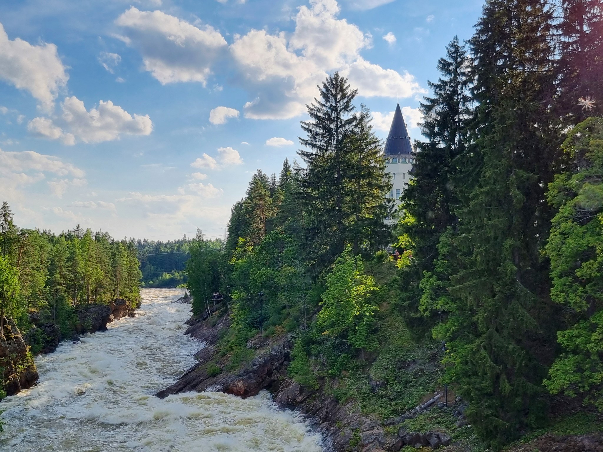
Imatrankoski is the oldest tourist attraction in Finland. In 1772, the Russian Empress Catherine II herself and her entourage visited the fast-flowing rapids to admire them, and after the Empress's visit, tourist interest in the rapids only increased. In the 19th century, writers, artists and composers from all over Europe travelled to the river for inspiration. For example, the famous composer Jean Sibelius visited the area, inspired by its beauty. In the mid-19th century, Finland's oldest nature park, Kruununpuisto, was established on the banks of the river, which became famous as a tourist attraction. The initiative to create the park came from the Russian Emperor Nicholas I, who wanted to protect the unique nature of the area.
A hotel was also built near the rapids for tourists. The hotel is still called the Imatra State Hotel, and its castle-like main building was completed in 1903. This hotel offers guests the chance to experience the splendour of a bygone era and enjoy the magnificent scenery.
Imatrankoski and Kruununpuisto are featured in the Imatra georoute guide.Route description of the geological trail of Imatra Kruununpuisto park.
Photos: goSaimaa
Coordinates
Geographic coordinates
61.168663265,
28.772491377
GPS-devices
x=595347,817 y=6782867,26
Address
Imatrankoskentie 3
55100 Imatra