Porrassalmi museum road
The ridge road between Porrassalmi and Annila was designated a museum road in 1982. The Porrassalmi road is included in the Porrassalmi Cultural Landscape as part of the National Inventory of Built Heritage Sites of National Importance by the National Board of Antiquities. The museum road is a popular tourist attraction, especially for those interested in the history of the Battle of Porrassalmi. The Battle of Porrassalmi took place in Mikkeli on 13 June 1789. It was part of the Kustan War between Sweden and Russia. The Finnish troops defeated the overwhelmingly superior Russian forces.
Geology
Geologically, the Porrassalmi esker and the Kaihunharju and Kalevankangas area to the north are part of a long stretch of eskers running north-south that continues southwards all the way to Savitaipale, where it ends at the Second Salpausselkä. The esker terrain was deposited by a glacial river that flowed in a tunnel channel underneath the continental ice sheet and in cracks in ice masses over the fractured bedrock.
Ice blocks detached from the continental ice sheet and were buried in the sand and gravel sediments of the Porrassalmi esker ridge. Over time the ice blocks melted away and left behind kettle holes, which can be ponds, swamps, or grow forest. One such kettle pond is Reuhkalampi.
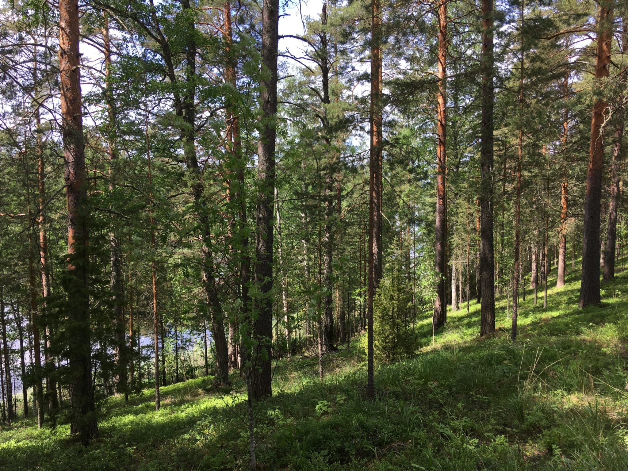
Image: Kaisa-Maria Remes
Address
Porrassalmentie, Mikkeli