Experience a nationally valuable rural landscape
The main feature of the modern landscape is the extensive stretch of open fields, created in the 1960s-1990s through field clearing. The moraine ridges were well-suited to slash-and-burn agriculture, and the supra-aquatic areas of the drumlins, which consisted of moraine made up of fine materials not washed by the meltwaters of the ice sheet, made for fertile agricultural land.
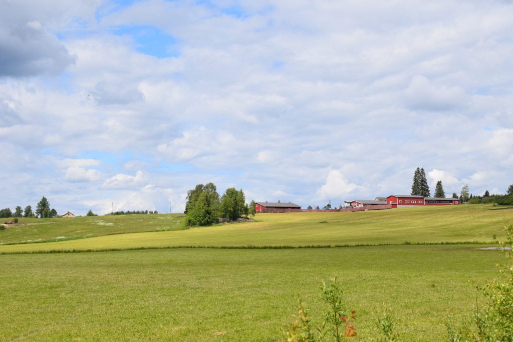
Kaskii has been one of Finland’s nationally valuable landscape areas since 1995. Factors which make Kaskii valuable include, for example, the well-preserved traditional hill village and coastal village settlement structure, the open fields below the village’s slopes, bordered by forests and the shores of Lake Sulajärvi, pastureland dotted with cattle, and the thriving agriculture that maintains the landscape.
The geology of the Kaskii area, including drumlins, and slash-and-burn agriculture are described in more detail in the Saimaa Geopark signpost.
Image: Anna Tiippana
Coordinates
Geographic coordinates
61.766626389, 28.091443333
GPS-devices
x=557601,714 y=6848665,935