See the Stone Age dwelling site of Murheistenranta
The Murheistenranta site has been inhabited for about 6000 years. The settlement dates back to the period of the typical Campanian pottery (4000-3500 BC). Comb pottery, quartz flakes and burnt bone have been found at the site. Co-excavations have also found pottery decorated with pits and even a single piece of juvenile decorated pottery. There is an occupation mark on the site, but it is difficult to distinguish from the terrain. Higher up on the slope there are Salpalinja trenches.
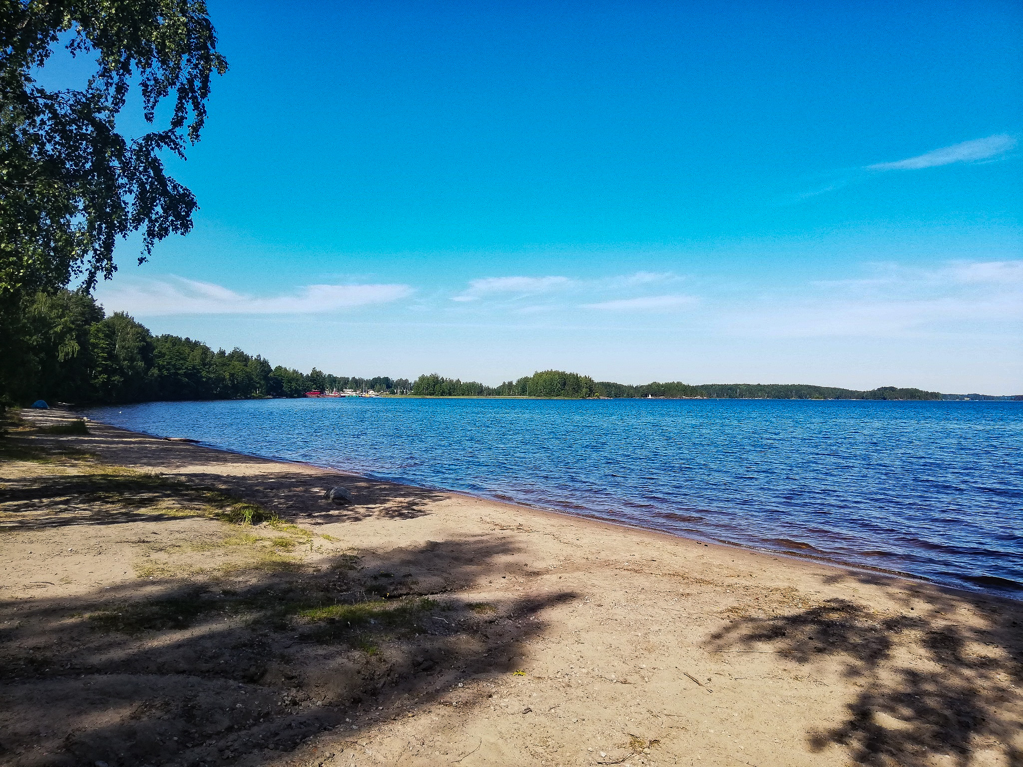
Murheistenranta also serves as a nice swimsming beach.
Murheistenranta Geology
Murheistenranta is located in the proximal part of the First Salpausselkä, ie on an ancient glacier-side slope of the ice-marginal formation, which was born about 12,100 years ago. The sediments of the First Salpausselkä consist of sand and gravel sorted by glacial rivers and till pushed by the glacier. The sand and gravel deposits of Murheistenranta are washed and shaped by the waves of the ancient Baltic Sea and Lake Saimaa.
Coordinates
Geographic coordinates
61.081398848, 28.308001658
GPS-devices
x= 570560 y= 6772559
Address
Sirkkelimiehenkatu 10
53300 Lappeenranta