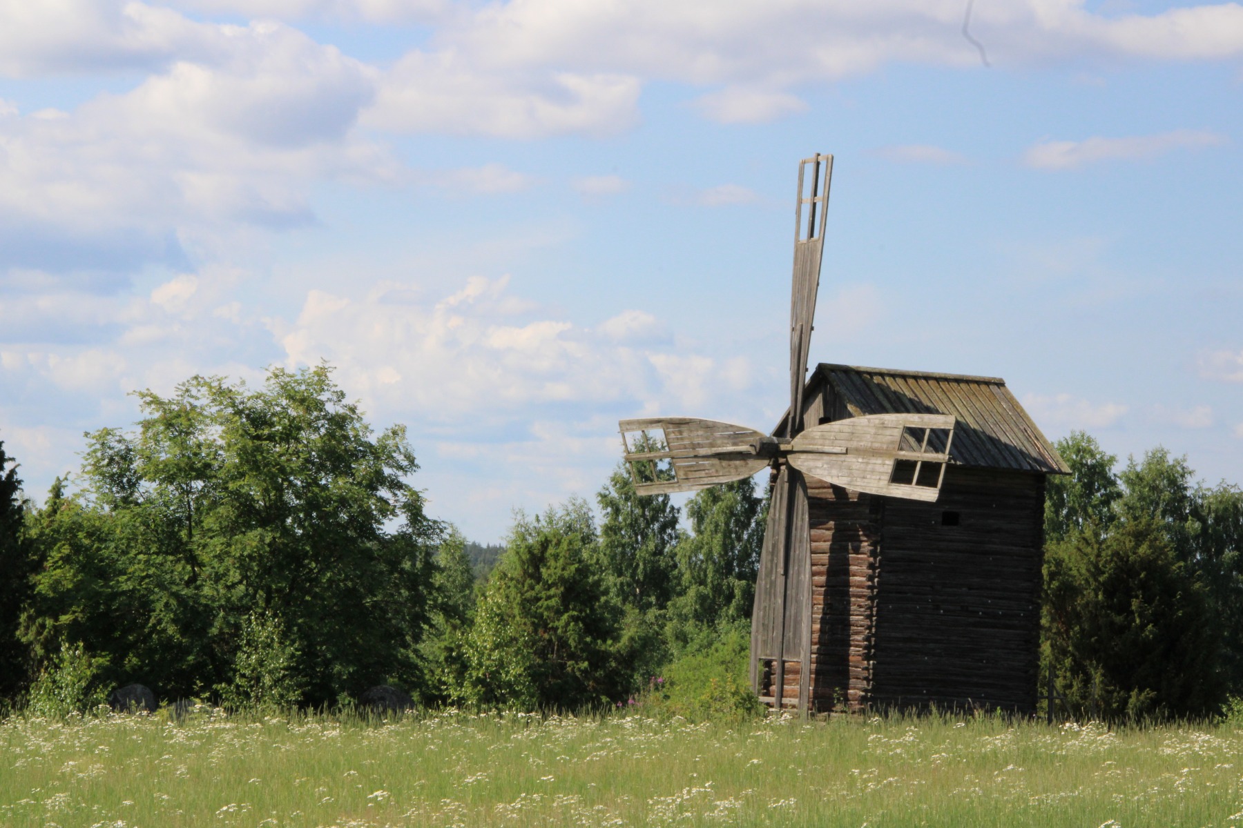
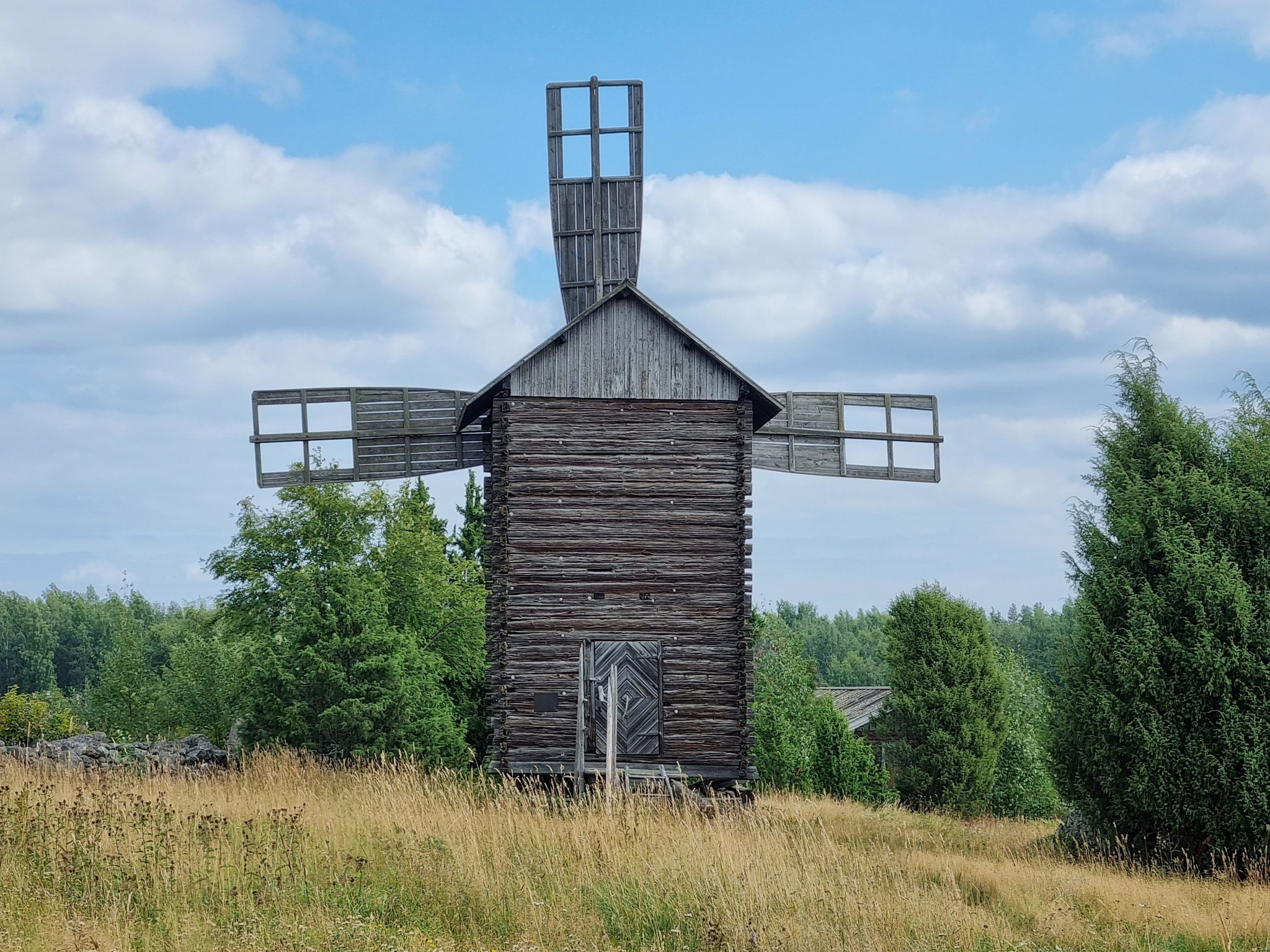
Experience the magnificent village milieu and the windmill
The windmill was restored and renovated to its original state in 2002 by the villagers. The stone fences around the windmill, originally built at the turn of the 20th century, have also been given a new lease of life through restoration. On the Suomalansaarentie, near the windmill, is a monument to the church builders who lived in the village between 1750 and 1850. This monument pays tribute to the skilled craftsmen whose work made a significant contribution to the cultural heritage of the area.
The windmill is of the toe mill type, which means that it is designed so that the entire mill building can be turned by the wind on a pole support.
Village geology
The geological basis of the village landscape is the till-covered rock-hill, the top of which (105 m above sea level) rises about 29 m above the surface of Lake Saimaa. The till is a type of soil layered by a continental ice sheet that contains granules of all sizes from clay to large boulders. To the east and south of Suomalansaarentie is bounded by a gentle south-facing moraine slope consisting of till. It has been found early on as a favorable growing base because the entire slope has been cleared into fields despite the stonyness of the moraine. The stone masses obtained as a by-product of the clearing work have been rolled to the edges of the field patches and piled into massive stone walls. Field patches, surrounded by stone walls, tall cypress-like junipers and an old style windmill make the landscape exceptional.
A noteworthy detail is also the 5-6 m high erratic boulder made of rapakivi granite on the north side of Suomalansaarentie, known as Julmakivi and marked with the name on the maps. The boulder has moved into place with the continental ice sheet during the last ice age.
Image: Savitaipaleenkunta, goSaimaa
Coordinates
Geographic coordinates
61.313233611, 27.813569167
GPS-devices
x= 543567,813 y= 6797948,891
Address
Suomalansaarentie 71,
54950 Pettilä