Näe ja koe Kulttuurikohteet Vallinkoski potholes
Underwater Vallinkoski potholes
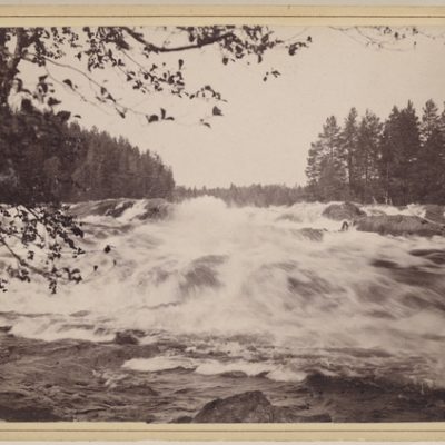
Potholes began to emerge at the bottom of the Vallinkoski rapids after the outbreak of Vuoksi about 5,700 years ago. Strong water currents gouged them out of the uneven bedrock with the help of transported rock material and cavitation, “excavation force of the water”.
Image: Favorin Ellen, Finnish Heritage Agency’s Picture Collections
Coordinates
Geographic coordinates
61.133732530, 28.797123154
GPS-devices
x= 596781,534 y= 6779012,616